42 Bay Harbor Dr Bigfork, MT 59911
Estimated Value: $839,000 - $1,031,000
3
Beds
4
Baths
2,555
Sq Ft
$367/Sq Ft
Est. Value
About This Home
This home is located at 42 Bay Harbor Dr, Bigfork, MT 59911 and is currently estimated at $937,519, approximately $366 per square foot. 42 Bay Harbor Dr is a home located in Flathead County with nearby schools including Bigfork Elementary School, Bigfork Middle School, and Bigfork High School.
Ownership History
Date
Name
Owned For
Owner Type
Purchase Details
Closed on
Dec 26, 2019
Sold by
Oswood Deborah A
Bought by
Oswood Gregory A and Oswood Deborah A
Current Estimated Value
Purchase Details
Closed on
May 25, 2012
Sold by
Oswood Gregory A
Bought by
Oswood Deborah A
Create a Home Valuation Report for This Property
The Home Valuation Report is an in-depth analysis detailing your home's value as well as a comparison with similar homes in the area
Home Values in the Area
Average Home Value in this Area
Purchase History
| Date | Buyer | Sale Price | Title Company |
|---|---|---|---|
| Oswood Gregory A | -- | None Available | |
| Oswood Deborah A | -- | None Available |
Source: Public Records
Tax History
| Year | Tax Paid | Tax Assessment Tax Assessment Total Assessment is a certain percentage of the fair market value that is determined by local assessors to be the total taxable value of land and additions on the property. | Land | Improvement |
|---|---|---|---|---|
| 2025 | $4,246 | $1,059,900 | $0 | $0 |
| 2024 | $3,956 | $708,900 | $0 | $0 |
| 2023 | $3,997 | $708,900 | $0 | $0 |
| 2022 | $4,186 | $531,500 | $0 | $0 |
| 2021 | $4,179 | $531,500 | $0 | $0 |
| 2020 | $3,986 | $490,400 | $0 | $0 |
| 2019 | $3,845 | $490,400 | $0 | $0 |
| 2018 | $4,008 | $486,700 | $0 | $0 |
| 2017 | $3,743 | $486,700 | $0 | $0 |
| 2016 | $3,567 | $445,100 | $0 | $0 |
| 2015 | $3,307 | $445,100 | $0 | $0 |
| 2014 | $3,556 | $288,585 | $0 | $0 |
Source: Public Records
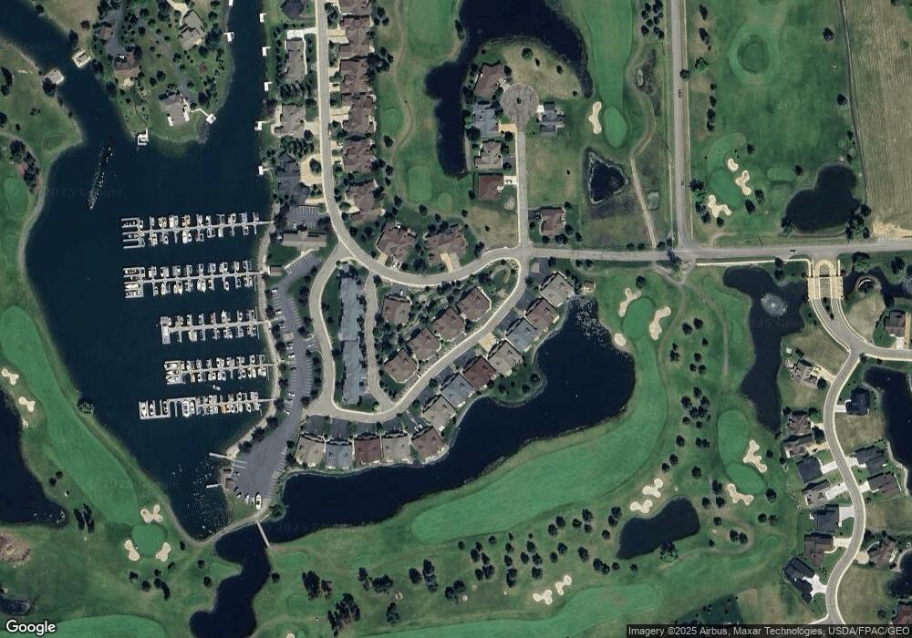
Map
Nearby Homes
- 68 Bay Harbor Dr
- 2084 Marina Ct
- 2036 Marina Ct
- D-25 Eagle Bend Yacht Harbor 35'
- A 33 Eagle Bend Yacht Harbor 44'
- 1001 Lake Pointe Dr
- NHN Eagle Bend Dr
- 20 Marina Way
- 1114 Lake Pointe Dr
- 147 Bjork Dr
- 266 Eagle Bend Dr
- 94 Golf Terrace
- 151 Bjork Dr
- 73 Golf Terrace
- 39 Golf Terrace Unit 5
- 175 Aerie Place
- 623 Mill Pond Place
- 173 Fox Run Ct
- 181 Fox Run Ct
- 161 Fox Run Ct
- 38 Bay Harbor Dr
- 46 Bay Harbor Dr
- 34 Harbor Dr
- 34 Bay Harbor Dr
- 52 Bay Harbor Dr
- 50 Bay Harbor Dr
- 58 Bay Harbor Dr
- 395 Eagle Bend Dr
- 62 Bay Harbor Dr
- 55 Bay Harbor Dr
- 51 Bay Harbor Dr
- 385 Eagle Bend Dr
- 31 Bay Harbor Dr
- 43 Bay Harbor Dr
- 400 Eagle Bend Dr
- 15 Bay Harbor Dr
- 39 Bay Harbor Dr
- 59 Bay Harbor Dr
- 35 Bay Harbor Dr
- 410 Eagle Bend Dr
Your Personal Tour Guide
Ask me questions while you tour the home.