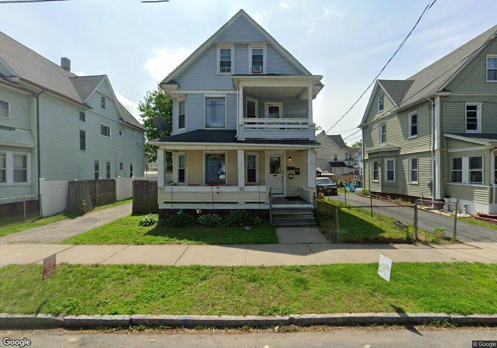
42 Bryant St Springfield, MA 01108
Forest Park NeighborhoodEstimated Value: $350,000 - $654,301
6
Beds
3
Baths
2,316
Sq Ft
$187/Sq Ft
Est. Value
About This Home
This home is located at 42 Bryant St, Springfield, MA 01108 and is currently estimated at $433,825, approximately $187 per square foot. 42 Bryant St is a home located in Hampden County with nearby schools including Washington Elementary School, Forest Park Middle School, and Springfield High School of Science and Technology.
Ownership History
Date
Name
Owned For
Owner Type
Purchase Details
Closed on
Sep 28, 1988
Sold by
Burd James J
Bought by
Rouse Katrin T
Current Estimated Value
Home Financials for this Owner
Home Financials are based on the most recent Mortgage that was taken out on this home.
Original Mortgage
$117,600
Interest Rate
10.66%
Mortgage Type
Purchase Money Mortgage
Create a Home Valuation Report for This Property
The Home Valuation Report is an in-depth analysis detailing your home's value as well as a comparison with similar homes in the area
Home Values in the Area
Average Home Value in this Area
Purchase History
| Date | Buyer | Sale Price | Title Company |
|---|---|---|---|
| Rouse Katrin T | $147,000 | -- |
Source: Public Records
Mortgage History
| Date | Status | Borrower | Loan Amount |
|---|---|---|---|
| Closed | Rouse Katrin T | $117,600 |
Source: Public Records
Tax History
| Year | Tax Paid | Tax Assessment Tax Assessment Total Assessment is a certain percentage of the fair market value that is determined by local assessors to be the total taxable value of land and additions on the property. | Land | Improvement |
|---|---|---|---|---|
| 2025 | $3,602 | $229,700 | $36,800 | $192,900 |
| 2024 | $3,644 | $226,900 | $36,800 | $190,100 |
| 2023 | $3,042 | $178,400 | $35,100 | $143,300 |
| 2022 | $3,491 | $185,500 | $35,100 | $150,400 |
| 2021 | $3,268 | $172,900 | $31,900 | $141,000 |
| 2020 | $3,168 | $162,200 | $31,900 | $130,300 |
| 2019 | $3,263 | $165,800 | $31,900 | $133,900 |
| 2018 | $2,997 | $152,300 | $31,900 | $120,400 |
| 2017 | $2,998 | $152,500 | $31,900 | $120,600 |
| 2016 | $2,619 | $133,200 | $31,900 | $101,300 |
| 2015 | $2,594 | $131,900 | $31,900 | $100,000 |
Source: Public Records
Map
Nearby Homes
- 52 Orlando St
- 11 Herman St
- 27 Ormond St
- 144 Washington St
- 35 Carlton St
- 854-856 Sumner Ave
- 46 Eckington St
- 59 Daviston St
- 134-136 Woodlawn St
- 99 Wilmont St
- 114 Sylvan St Unit 116
- 914-916 Belmont Ave
- 11 Crown St
- 88 Brunswick St
- 77 Dorset St
- 410 Allen St
- 192 White St
- 88-90 Beaumont St
- 22 Eleanor Rd
- 67 Perkins St
- 48 Bryant St
- 38 Bryant St
- 45 Orlando St
- 52 Bryant St Unit 54
- 32 Bryant St
- 51 Orlando St
- 41 Orlando St
- 55 Orlando St
- 35 Orlando St
- 58 Bryant St Unit 60
- 58-60 Bryant St
- 28 Bryant St Unit 30
- 41 Bryant St Unit 43
- 45 Bryant St
- 49 Bryant St
- 49 Bryant St Unit 1
- 49 Bryant St Unit 2
- 35 Bryant St
- 61 Orlando St
- 31 Orlando St
Your Personal Tour Guide
Ask me questions while you tour the home.