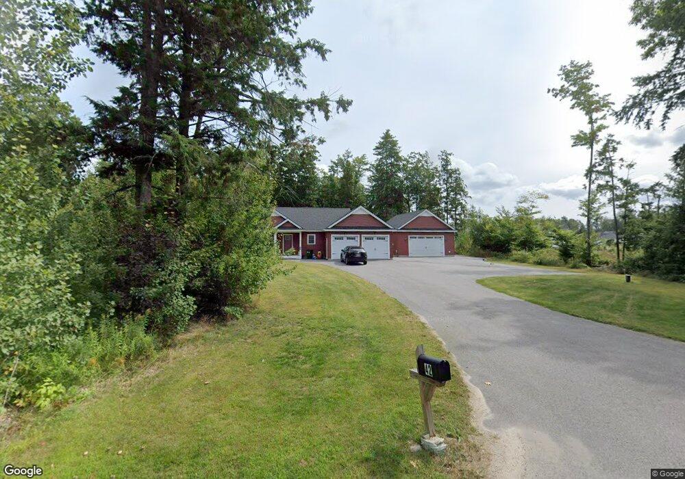
42 Burnham Rd Gorham, ME 04038
Estimated Value: $591,000 - $676,000
3
Beds
2
Baths
1,492
Sq Ft
$423/Sq Ft
Est. Value
About This Home
This home is located at 42 Burnham Rd, Gorham, ME 04038 and is currently estimated at $631,790, approximately $423 per square foot. 42 Burnham Rd is a home with nearby schools including Gorham High School and The Little Dolphin School Foundation.
Ownership History
Date
Name
Owned For
Owner Type
Purchase Details
Closed on
Apr 23, 2021
Sold by
Banville Joseph M
Bought by
Mckeown Patrick and Mckeown Kyla B
Current Estimated Value
Home Financials for this Owner
Home Financials are based on the most recent Mortgage that was taken out on this home.
Original Mortgage
$432,250
Outstanding Balance
$390,582
Interest Rate
3.05%
Mortgage Type
Purchase Money Mortgage
Estimated Equity
$241,208
Purchase Details
Closed on
Jan 12, 2018
Sold by
Letarte Bros Const Inc
Bought by
Banville Joseph M
Home Financials for this Owner
Home Financials are based on the most recent Mortgage that was taken out on this home.
Original Mortgage
$287,156
Interest Rate
3.9%
Mortgage Type
Unknown
Create a Home Valuation Report for This Property
The Home Valuation Report is an in-depth analysis detailing your home's value as well as a comparison with similar homes in the area
Home Values in the Area
Average Home Value in this Area
Purchase History
| Date | Buyer | Sale Price | Title Company |
|---|---|---|---|
| Mckeown Patrick | -- | None Available | |
| Banville Joseph M | -- | -- |
Source: Public Records
Mortgage History
| Date | Status | Borrower | Loan Amount |
|---|---|---|---|
| Open | Mckeown Patrick | $432,250 | |
| Previous Owner | Banville Joseph M | $287,156 |
Source: Public Records
Tax History Compared to Growth
Tax History
| Year | Tax Paid | Tax Assessment Tax Assessment Total Assessment is a certain percentage of the fair market value that is determined by local assessors to be the total taxable value of land and additions on the property. | Land | Improvement |
|---|---|---|---|---|
| 2024 | $7,426 | $505,200 | $83,700 | $421,500 |
| 2023 | $6,672 | $485,200 | $83,700 | $401,500 |
| 2022 | $6,235 | $485,200 | $83,700 | $401,500 |
| 2021 | $5,997 | $309,100 | $70,300 | $238,800 |
| 2020 | $5,217 | $274,600 | $70,300 | $204,300 |
| 2019 | $5,043 | $266,100 | $70,300 | $195,800 |
| 2018 | $4,843 | $266,100 | $70,300 | $195,800 |
| 2017 | $1,489 | $87,100 | $55,500 | $31,600 |
| 2016 | $940 | $55,300 | $55,300 | $0 |
Source: Public Records
Map
Nearby Homes
- 8 Mitchell Hill Rd
- 9 Burnham Rd
- 16 Thistle Dr Unit C
- 41 Mitchell Hill Rd
- lot 2 Meserve Farm Rd
- 4 Meserve Farm Rd
- 76 County Rd
- 20 Fairway Commons Dr Unit 2
- Unit 13 Fairway Commons Dr Unit 13
- 35 Fairway Commons Dr Unit 14
- 1 Small Pond Rd
- 213 Burnham Rd
- 138 Beech Ridge Rd
- 30 Faith Dr
- 7 Julia Dr
- 282 South St
- Lot 72 Martell Way
- 665 Saco St Unit 185
- 195 Wickham Way
- 162 Wickham Way
- Lot B Burnham Rd
- Lot A Burnham Rd
- Lot 9 Oliver Ln
- 36 Burnham Rd
- 34 Burnham Rd
- Lot 8 Oliver Ln
- 37 Burnham Rd
- 33 Burnham Rd
- 0 Mitchell Hill
- Lot 2 Mitchell Hill Rd
- Lot 2 Mitchell Hill
- 0 (lot 2 Mitchell Hill
- Lot 1 Oliver Ln
- 1 Mitchell Hill
- Lot 1a Mitchell Hill
- 0 (lot1a Mitchell Hill
- 47 Burnham Rd
- 18 Oliver Ln
- 15 Oliver Ln