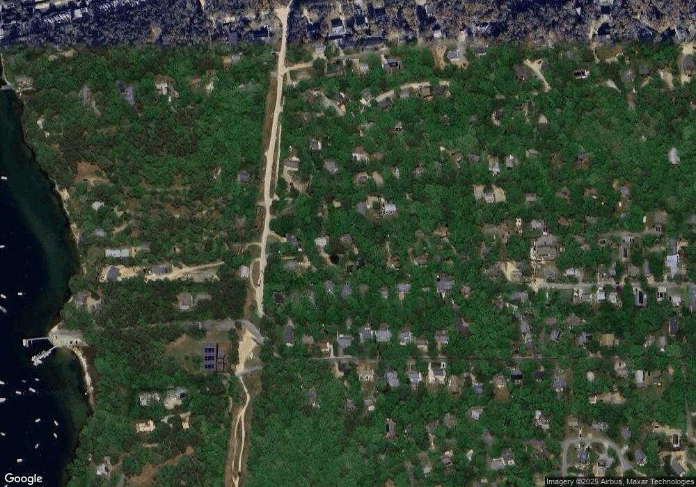
42 Chase Ln Vineyard Haven, MA 02568
Vineyard Haven NeighborhoodEstimated Value: $1,126,000 - $1,671,000
3
Beds
2
Baths
1,306
Sq Ft
$971/Sq Ft
Est. Value
About This Home
This home is located at 42 Chase Ln, Vineyard Haven, MA 02568 and is currently estimated at $1,268,758, approximately $971 per square foot. 42 Chase Ln is a home located in Dukes County with nearby schools including Tisbury Elementary School, Martha's Vineyard Regional High School, and Martha's Vineyard Charter School.
Ownership History
Date
Name
Owned For
Owner Type
Purchase Details
Closed on
Jan 10, 2023
Sold by
James Sean W
Bought by
James Erica J
Current Estimated Value
Purchase Details
Closed on
May 6, 1997
Sold by
Murray Robert L
Bought by
Hickey Judith E
Home Financials for this Owner
Home Financials are based on the most recent Mortgage that was taken out on this home.
Original Mortgage
$137,700
Interest Rate
7.85%
Mortgage Type
Purchase Money Mortgage
Purchase Details
Closed on
Oct 2, 1996
Sold by
Pasquantonio Carol J and Micelotta Judith A
Bought by
Murray Robert L
Create a Home Valuation Report for This Property
The Home Valuation Report is an in-depth analysis detailing your home's value as well as a comparison with similar homes in the area
Home Values in the Area
Average Home Value in this Area
Purchase History
| Date | Buyer | Sale Price | Title Company |
|---|---|---|---|
| James Erica J | -- | None Available | |
| James Erica J | -- | None Available | |
| Hickey Judith E | $153,000 | -- | |
| Murray Robert L | $30,000 | -- | |
| Hickey Judith E | $153,000 | -- | |
| Murray Robert L | $30,000 | -- |
Source: Public Records
Mortgage History
| Date | Status | Borrower | Loan Amount |
|---|---|---|---|
| Previous Owner | Murray Robert L | $110,300 | |
| Previous Owner | Murray Robert L | $132,000 | |
| Previous Owner | Murray Robert L | $137,700 |
Source: Public Records
Tax History Compared to Growth
Tax History
| Year | Tax Paid | Tax Assessment Tax Assessment Total Assessment is a certain percentage of the fair market value that is determined by local assessors to be the total taxable value of land and additions on the property. | Land | Improvement |
|---|---|---|---|---|
| 2025 | $6,941 | $916,900 | $423,000 | $493,900 |
| 2024 | $6,274 | $786,200 | $367,900 | $418,300 |
| 2023 | $5,811 | $793,800 | $350,300 | $443,500 |
| 2022 | $5,338 | $613,600 | $220,500 | $393,100 |
| 2021 | $4,851 | $529,000 | $220,500 | $308,500 |
| 2020 | $4,666 | $500,100 | $200,500 | $299,600 |
| 2019 | $4,586 | $500,100 | $200,500 | $299,600 |
| 2018 | $4,024 | $425,800 | $191,800 | $234,000 |
| 2017 | $3,798 | $416,900 | $191,800 | $225,100 |
| 2016 | $3,626 | $395,800 | $167,100 | $228,700 |
| 2015 | $3,179 | $356,400 | $145,500 | $210,900 |
Source: Public Records
Map
Nearby Homes