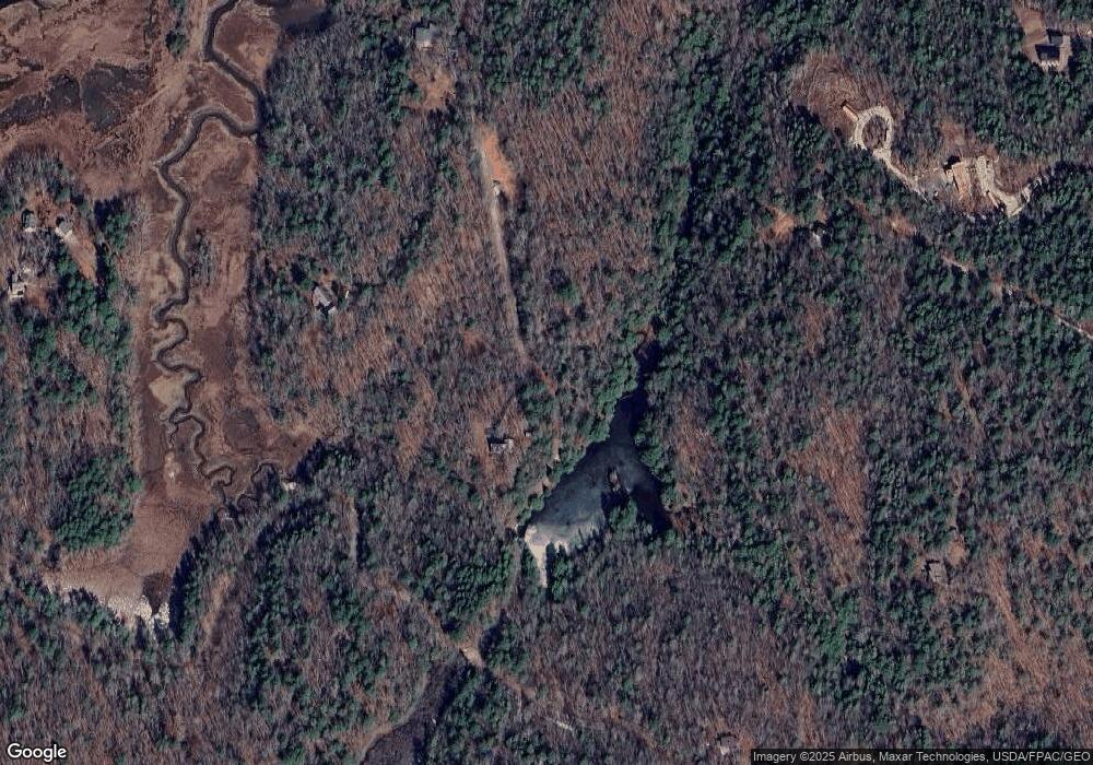
42 Clarey Pond Rd Georgetown, ME 04548
Georgetown NeighborhoodEstimated Value: $1,325,000
--
Bed
--
Bath
--
Sq Ft
6
Acres
About This Home
This home is located at 42 Clarey Pond Rd, Georgetown, ME 04548 and is currently priced at $1,325,000. 42 Clarey Pond Rd is a home.
Ownership History
Date
Name
Owned For
Owner Type
Purchase Details
Closed on
Oct 11, 2013
Sold by
Bonner Patricia E and Emerson Jeff D
Bought by
Haley Eric J and Haley Thea S
Current Estimated Value
Home Financials for this Owner
Home Financials are based on the most recent Mortgage that was taken out on this home.
Original Mortgage
$999,975
Outstanding Balance
$752,279
Interest Rate
4.53%
Mortgage Type
Purchase Money Mortgage
Create a Home Valuation Report for This Property
The Home Valuation Report is an in-depth analysis detailing your home's value as well as a comparison with similar homes in the area
Home Values in the Area
Average Home Value in this Area
Purchase History
| Date | Buyer | Sale Price | Title Company |
|---|---|---|---|
| Haley Eric J | -- | -- | |
| Haley Eric J | -- | -- |
Source: Public Records
Mortgage History
| Date | Status | Borrower | Loan Amount |
|---|---|---|---|
| Open | Haley Eric J | $999,975 | |
| Closed | Haley Eric J | $999,975 |
Source: Public Records
Tax History Compared to Growth
Tax History
| Year | Tax Paid | Tax Assessment Tax Assessment Total Assessment is a certain percentage of the fair market value that is determined by local assessors to be the total taxable value of land and additions on the property. | Land | Improvement |
|---|---|---|---|---|
| 2024 | $16,156 | $2,683,800 | $1,287,300 | $1,396,500 |
| 2023 | $14,890 | $1,527,200 | $650,100 | $877,100 |
| 2022 | $13,500 | $1,527,200 | $650,100 | $877,100 |
| 2021 | $12,599 | $1,527,200 | $650,100 | $877,100 |
| 2020 | $12,370 | $1,527,200 | $650,100 | $877,100 |
| 2019 | $11,912 | $1,527,200 | $650,100 | $877,100 |
| 2018 | $11,759 | $1,527,200 | $650,100 | $877,100 |
| 2017 | $11,683 | $1,527,200 | $650,100 | $877,100 |
| 2016 | $11,683 | $1,527,200 | $650,100 | $877,100 |
| 2015 | $11,271 | $1,527,200 | $650,100 | $877,100 |
| 2014 | $11,271 | $1,527,200 | $650,100 | $877,100 |
| 2013 | $10,843 | $1,527,200 | $650,100 | $877,100 |
Source: Public Records
Map
Nearby Homes
- Lot 45-B Cove Rd
- 129 Five Islands Rd
- 68 Narrows Way
- 119 Knubble Bay Rd
- 25 N End Rd
- 1 Plum Ln Unit D
- 12 Spruce Gum Ln
- 15 Blueberry Hill Rd
- 742 Old Stage Rd
- 124 Main Rd
- Lot 17A Snowman Ln
- 17-1 Bald Head Rd
- 461 Hendricks Hill Rd
- 0 Smithfield Crossing Unit 1643601
- 550 Main Rd
- 0 Main Rd
- 15 Church Ln
- 44-4 Windrush Ln
- 14 Pinkie Ln
- Lot #2 Rte 209 Main Rd
- 86 Country Mile Rd
- 44 Roland Rd
- R3- 31D Little Cunningham
- 72 Clarey Pond Rd
- 166 Country Mile Rd
- 0 Fling's Cove Rd Unit 1237205
- 0 Fling's Cove Rd Unit 1234217
- 33 Stone Bridge Ln
- 160 Country Mile Rd
- 100 Country Mile Rd
- 34 Stone Bridge Ln
- 57 Cove Rd
- 58 Cove Rd
- 41 Cove Rd
- 56 Cove Rd
- 00 Flings Cove
- 40 Cove Rd
- 269 Robinhood Rd
- 14 Cove Rd
- 0 Cove Rd
