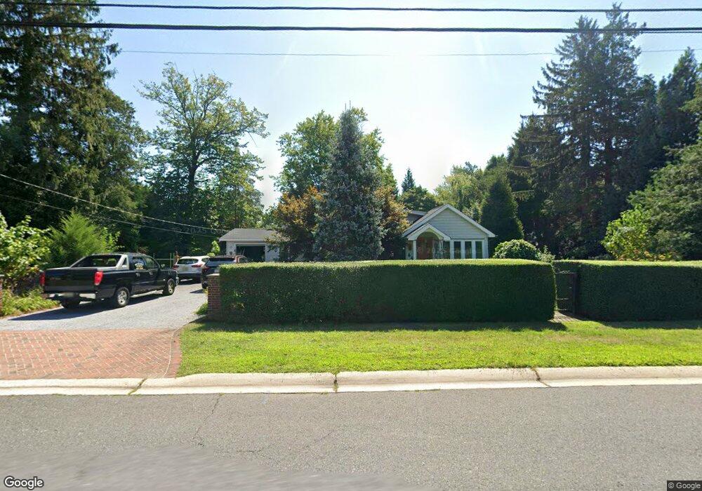
42 Comanche Dr Oceanport, NJ 07757
Estimated Value: $645,000 - $824,906
3
Beds
2
Baths
1,687
Sq Ft
$454/Sq Ft
Est. Value
About This Home
This home is located at 42 Comanche Dr, Oceanport, NJ 07757 and is currently estimated at $766,727, approximately $454 per square foot. 42 Comanche Dr is a home located in Monmouth County with nearby schools including Wolf Hill Elementary School, Maple Place Elementary and Middle School, and Shore Regional High School.
Ownership History
Date
Name
Owned For
Owner Type
Purchase Details
Closed on
Jun 10, 1999
Sold by
Conover Betty
Bought by
Brummer Mark
Current Estimated Value
Home Financials for this Owner
Home Financials are based on the most recent Mortgage that was taken out on this home.
Original Mortgage
$124,000
Interest Rate
7.84%
Create a Home Valuation Report for This Property
The Home Valuation Report is an in-depth analysis detailing your home's value as well as a comparison with similar homes in the area
Home Values in the Area
Average Home Value in this Area
Purchase History
| Date | Buyer | Sale Price | Title Company |
|---|---|---|---|
| Brummer Mark | $155,000 | -- |
Source: Public Records
Mortgage History
| Date | Status | Borrower | Loan Amount |
|---|---|---|---|
| Previous Owner | Brummer Mark | $124,000 |
Source: Public Records
Tax History
| Year | Tax Paid | Tax Assessment Tax Assessment Total Assessment is a certain percentage of the fair market value that is determined by local assessors to be the total taxable value of land and additions on the property. | Land | Improvement |
|---|---|---|---|---|
| 2025 | $8,901 | $605,800 | $468,200 | $137,600 |
| 2024 | $9,192 | $563,700 | $432,100 | $131,600 |
Source: Public Records
Map
Nearby Homes
- 66 Seneca Place
- 68 Seneca Place
- 66 Shrewsbury Ave
- 448 Branchport Ave
- 8 Pocahontas Ave
- 428 Atlantic Ave
- 28 Patten Ln
- 568 Shrewsbury Ave
- 1 Foggia Way
- 516 Atlantic Ave
- 267 N 5th Ave
- 580 Patten Ave Unit 72
- 580 Patten Ave Unit 14
- 282 Rockwell Ave
- 491 Patten Ave
- 500 Port Au Peck Ave
- 12 Balmer Ct
- 11 Avon Ave
- 10 Asbury Ave
- 165 Kingsley St
Your Personal Tour Guide
Ask me questions while you tour the home.