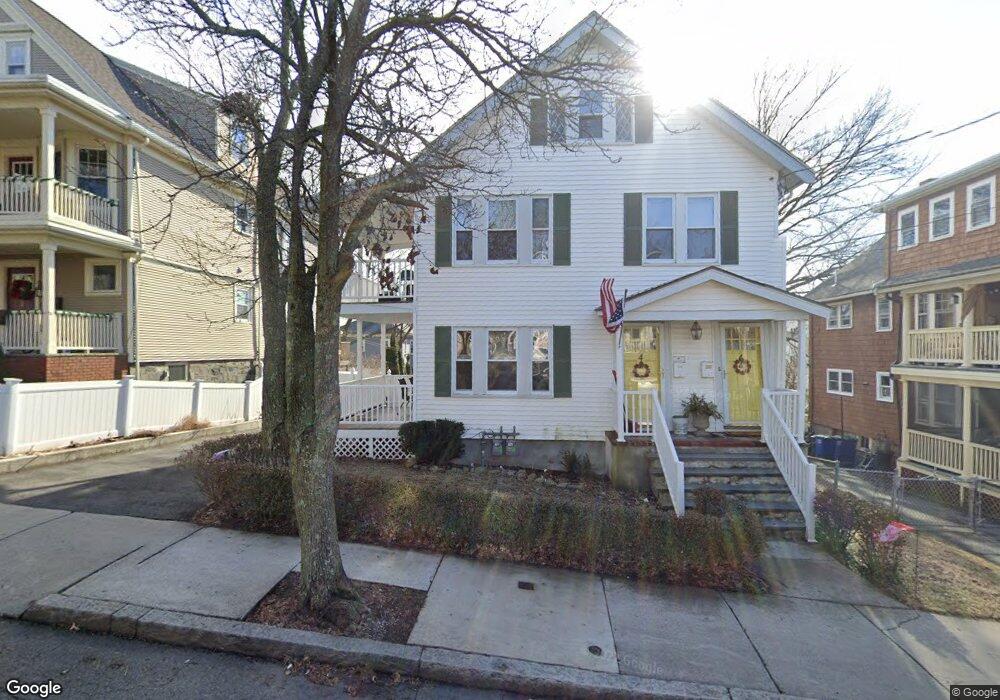
42 Conwell Ave Somerville, MA 02144
West Somerville NeighborhoodEstimated Value: $1,009,000 - $1,436,000
4
Beds
2
Baths
2,270
Sq Ft
$541/Sq Ft
Est. Value
About This Home
This home is located at 42 Conwell Ave, Somerville, MA 02144 and is currently estimated at $1,228,667, approximately $541 per square foot. 42 Conwell Ave is a home located in Middlesex County with nearby schools including Somerville High School, International School of Boston, and St. Clement Elementary School.
Ownership History
Date
Name
Owned For
Owner Type
Purchase Details
Closed on
Dec 23, 2019
Sold by
Hurley Ellen F Est
Bought by
Haven Homestead Lt
Current Estimated Value
Purchase Details
Closed on
Jan 19, 1972
Bought by
Hurley Joseph D and Hurley Ellen E
Create a Home Valuation Report for This Property
The Home Valuation Report is an in-depth analysis detailing your home's value as well as a comparison with similar homes in the area
Home Values in the Area
Average Home Value in this Area
Purchase History
| Date | Buyer | Sale Price | Title Company |
|---|---|---|---|
| Haven Homestead Lt | -- | None Available | |
| Hurley Joseph D | $32,500 | -- |
Source: Public Records
Tax History Compared to Growth
Tax History
| Year | Tax Paid | Tax Assessment Tax Assessment Total Assessment is a certain percentage of the fair market value that is determined by local assessors to be the total taxable value of land and additions on the property. | Land | Improvement |
|---|---|---|---|---|
| 2025 | $11,424 | $1,047,100 | $615,000 | $432,100 |
| 2024 | $10,777 | $1,024,400 | $615,000 | $409,400 |
| 2023 | $10,719 | $1,036,700 | $615,000 | $421,700 |
| 2022 | $9,892 | $971,700 | $585,700 | $386,000 |
| 2021 | $9,428 | $925,200 | $581,400 | $343,800 |
| 2020 | $9,272 | $918,900 | $581,800 | $337,100 |
| 2019 | $8,721 | $810,500 | $529,600 | $280,900 |
| 2018 | $8,468 | $748,700 | $481,500 | $267,200 |
| 2017 | $8,153 | $698,600 | $454,200 | $244,400 |
| 2016 | $8,316 | $663,700 | $405,600 | $258,100 |
| 2015 | $7,706 | $611,100 | $374,600 | $236,500 |
Source: Public Records
Map
Nearby Homes
- 33 Conwell Ave
- 202 Powder House Blvd Unit 2
- 235 Powder House Blvd
- 34 Belknap St
- 6 Hamilton Rd Unit 6
- 11 Watson St Unit 1
- 11 Watson St Unit 2
- 16 High St Unit 2
- 21 High St
- 55 Packard Ave Unit 1
- 29 Packard Ave
- 9 Woods Ave
- 23 Ossipee Rd
- 31 Fairfax St
- 327 Alewife Brook Pkwy Unit A
- 22 Ossipee Rd Unit 2
- 57 Garrison Ave
- 44 Woods Ave Unit 44
- 20 Electric Ave Unit 2
- 69 Sterling St
- 48 Conwell Ave
- 48 Conwell Ave Unit 2
- 38 Conwell Ave Unit 1
- 38 Conwell Ave Unit 2
- 38 Conwell Ave
- 36 Conwell Ave
- 50 Conwell Ave Unit 1,50
- 50 Conwell Ave
- 41 Raymond Ave
- 45 Raymond Ave
- 43 Raymond Ave
- 43 Raymond Ave Unit 2
- 45 Raymond Ave Unit 1
- 43 Raymond Ave Unit 43
- 47 Raymond Ave
- 37 Raymond Ave
- 35 Raymond Ave Unit X
- 35 Raymond Ave Unit 33-3
- 35 Raymond Ave Unit 33-2
- 37 Raymond Ave Unit 1