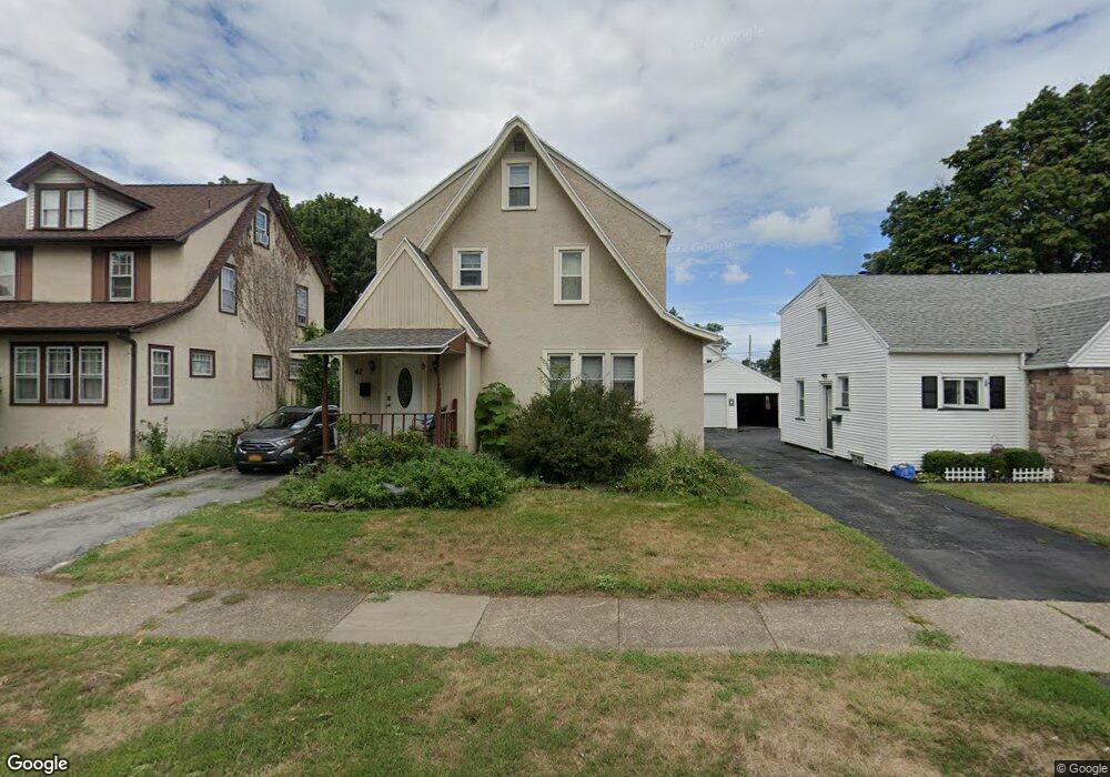
42 Dalston Rd Rochester, NY 14616
Estimated Value: $188,000 - $213,689
3
Beds
2
Baths
1,368
Sq Ft
$144/Sq Ft
Est. Value
About This Home
This home is located at 42 Dalston Rd, Rochester, NY 14616 and is currently estimated at $196,672, approximately $143 per square foot. 42 Dalston Rd is a home located in Monroe County with nearby schools including Greece Community Early Learning Center, Longridge Elementary School, and Odyssey Academy.
Ownership History
Date
Name
Owned For
Owner Type
Purchase Details
Closed on
Feb 3, 2016
Sold by
Christopher Paul and Christopher Craig
Bought by
Christopher Paul
Current Estimated Value
Purchase Details
Closed on
Feb 19, 2008
Sold by
Muoio William
Bought by
Christopher Paul
Home Financials for this Owner
Home Financials are based on the most recent Mortgage that was taken out on this home.
Original Mortgage
$85,500
Outstanding Balance
$54,156
Interest Rate
6.14%
Mortgage Type
FHA
Estimated Equity
$142,516
Purchase Details
Closed on
May 4, 2007
Sold by
Seppala Ann
Bought by
Muoio William
Purchase Details
Closed on
Feb 24, 2000
Create a Home Valuation Report for This Property
The Home Valuation Report is an in-depth analysis detailing your home's value as well as a comparison with similar homes in the area
Home Values in the Area
Average Home Value in this Area
Purchase History
| Date | Buyer | Sale Price | Title Company |
|---|---|---|---|
| Christopher Paul | -- | None Available | |
| Christopher Paul | $93,000 | -- | |
| Muoio William | $29,400 | -- | |
| -- | -- | -- |
Source: Public Records
Mortgage History
| Date | Status | Borrower | Loan Amount |
|---|---|---|---|
| Open | Christopher Paul | $85,500 |
Source: Public Records
Tax History Compared to Growth
Tax History
| Year | Tax Paid | Tax Assessment Tax Assessment Total Assessment is a certain percentage of the fair market value that is determined by local assessors to be the total taxable value of land and additions on the property. | Land | Improvement |
|---|---|---|---|---|
| 2024 | $4,747 | $98,100 | $15,300 | $82,800 |
| 2023 | $4,760 | $98,100 | $15,300 | $82,800 |
| 2022 | $4,593 | $96,000 | $17,000 | $79,000 |
| 2021 | $4,598 | $96,000 | $17,000 | $79,000 |
| 2020 | $4,633 | $96,000 | $17,000 | $79,000 |
| 2019 | $4,359 | $96,000 | $17,000 | $79,000 |
| 2018 | $4,463 | $93,000 | $17,000 | $76,000 |
| 2017 | $2,254 | $93,000 | $17,000 | $76,000 |
| 2016 | $4,359 | $93,000 | $17,000 | $76,000 |
| 2015 | -- | $93,000 | $17,000 | $76,000 |
| 2014 | -- | $93,000 | $17,000 | $76,000 |
Source: Public Records
Map
Nearby Homes
- 217 Duffern Dr
- 248 Haviland Park
- 810 Stone Rd
- 58 Florence Ave
- 104 Barnard St
- 163 Haviland Park
- 868 Stone Rd
- 29 Barnard St
- 133 California Dr
- 226 Oakwood Rd
- 2600 Dewey Ave
- 369 Stone Rd
- 374 Stone Rd
- 136 Castleford Rd
- 106 Chippendale Rd
- 514 Bennington Dr
- 524 Bennington Dr
- 109 Worcester Rd
- 267 Woodcrest Rd
- 270 Mccall Rd