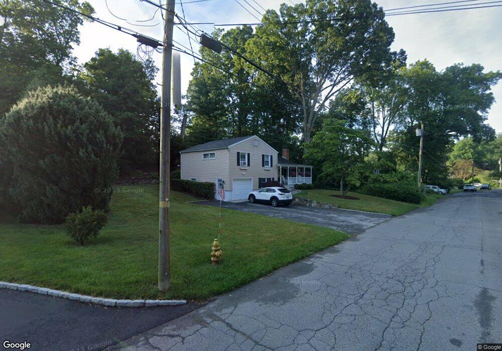
42 Deleo Dr Stamford, CT 06906
Glenbrook NeighborhoodEstimated Value: $660,000 - $838,000
3
Beds
2
Baths
1,540
Sq Ft
$469/Sq Ft
Est. Value
About This Home
This home is located at 42 Deleo Dr, Stamford, CT 06906 and is currently estimated at $722,569, approximately $469 per square foot. 42 Deleo Dr is a home located in Fairfield County with nearby schools including Julia A. Stark Elementary School, Dolan School, and Stamford High School.
Ownership History
Date
Name
Owned For
Owner Type
Purchase Details
Closed on
Jan 13, 1994
Sold by
Sarafin Stanley and Sarafin Dorothy
Bought by
Abbazia Frank and Abbazia Guiseppina
Current Estimated Value
Purchase Details
Closed on
Feb 20, 1987
Sold by
Miller Phillip
Bought by
Sarafin Stanley
Create a Home Valuation Report for This Property
The Home Valuation Report is an in-depth analysis detailing your home's value as well as a comparison with similar homes in the area
Home Values in the Area
Average Home Value in this Area
Purchase History
| Date | Buyer | Sale Price | Title Company |
|---|---|---|---|
| Abbazia Frank | $200,000 | -- | |
| Abbazia Frank | $200,000 | -- | |
| Sarafin Stanley | $230,000 | -- |
Source: Public Records
Mortgage History
| Date | Status | Borrower | Loan Amount |
|---|---|---|---|
| Open | Sarafin Stanley | $476,953 | |
| Closed | Sarafin Stanley | $329,135 | |
| Closed | Sarafin Stanley | $240,000 |
Source: Public Records
Tax History Compared to Growth
Tax History
| Year | Tax Paid | Tax Assessment Tax Assessment Total Assessment is a certain percentage of the fair market value that is determined by local assessors to be the total taxable value of land and additions on the property. | Land | Improvement |
|---|---|---|---|---|
| 2025 | $8,617 | $364,220 | $225,230 | $138,990 |
| 2024 | $8,428 | $364,220 | $225,230 | $138,990 |
| 2023 | $9,055 | $364,220 | $225,230 | $138,990 |
| 2022 | $7,998 | $299,120 | $172,920 | $126,200 |
| 2021 | $7,912 | $299,120 | $172,920 | $126,200 |
| 2020 | $7,708 | $299,120 | $172,920 | $126,200 |
| 2019 | $7,708 | $299,120 | $172,920 | $126,200 |
| 2018 | $7,424 | $299,120 | $172,920 | $126,200 |
| 2017 | $6,879 | $264,560 | $145,260 | $119,300 |
| 2016 | $6,685 | $264,560 | $145,260 | $119,300 |
| 2015 | $6,511 | $264,560 | $145,260 | $119,300 |
| 2014 | $6,294 | $264,560 | $145,260 | $119,300 |
Source: Public Records
Map
Nearby Homes
- 51 Glendale Rd
- 31 Bellmere Ave
- 143 Overbrook Dr
- 543 Newfield Ave
- 596 Glenbrook Rd Unit 36
- 88 Pine Hill Ave
- 31 Sussex Place
- 78 Elizabeth Ave
- 172 Joffre Ave
- 30 Lake Dr
- 31 Chatfield St
- 30 Lindsey Ave
- 27 Crane Rd N
- 59 Holbrook Dr
- 24 Haig Ave
- 406 Courtland Ave Unit D
- 34 Crescent St Unit 2D
- 43 Crescent St Unit 11
- 30 Maple Tree Ave Unit D
- 22 Hastings Ln