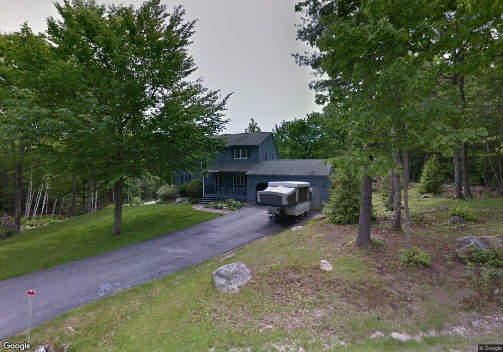
42 Dermot Dr New Gloucester, ME 04260
Estimated Value: $492,022 - $561,000
3
Beds
2
Baths
962
Sq Ft
$532/Sq Ft
Est. Value
About This Home
This home is located at 42 Dermot Dr, New Gloucester, ME 04260 and is currently estimated at $511,506, approximately $531 per square foot. 42 Dermot Dr is a home located in Cumberland County with nearby schools including Gray-New Gloucester High School.
Ownership History
Date
Name
Owned For
Owner Type
Purchase Details
Closed on
Sep 24, 2012
Sold by
Macgregor Peter and Macgregor Renee
Bought by
Macgregor Peter
Current Estimated Value
Home Financials for this Owner
Home Financials are based on the most recent Mortgage that was taken out on this home.
Original Mortgage
$142,000
Interest Rate
3.59%
Mortgage Type
Purchase Money Mortgage
Create a Home Valuation Report for This Property
The Home Valuation Report is an in-depth analysis detailing your home's value as well as a comparison with similar homes in the area
Home Values in the Area
Average Home Value in this Area
Purchase History
| Date | Buyer | Sale Price | Title Company |
|---|---|---|---|
| Macgregor Peter | -- | -- |
Source: Public Records
Mortgage History
| Date | Status | Borrower | Loan Amount |
|---|---|---|---|
| Closed | Macgregor Peter | $142,000 |
Source: Public Records
Tax History Compared to Growth
Tax History
| Year | Tax Paid | Tax Assessment Tax Assessment Total Assessment is a certain percentage of the fair market value that is determined by local assessors to be the total taxable value of land and additions on the property. | Land | Improvement |
|---|---|---|---|---|
| 2025 | $4,522 | $292,317 | $110,000 | $182,317 |
| 2024 | $4,353 | $292,317 | $110,000 | $182,317 |
| 2023 | $4,177 | $292,317 | $110,000 | $182,317 |
| 2022 | $4,034 | $292,317 | $110,000 | $182,317 |
| 2021 | $4,034 | $292,317 | $110,000 | $182,317 |
| 2020 | $3,990 | $292,317 | $110,000 | $182,317 |
| 2019 | $4,022 | $238,000 | $65,800 | $172,200 |
| 2018 | $3,760 | $238,000 | $65,800 | $172,200 |
| 2017 | $3,713 | $238,000 | $65,800 | $172,200 |
| 2016 | $3,499 | $238,000 | $65,800 | $172,200 |
| 2015 | $3,487 | $238,000 | $65,800 | $172,200 |
| 2014 | $3,451 | $238,000 | $65,800 | $172,200 |
| 2013 | $3,201 | $238,000 | $65,800 | $172,200 |
Source: Public Records
Map
Nearby Homes
- 423 Sabbathday Rd
- 14 Golden Way
- 24 Swamp Rd
- TBD Targett Rd
- 271 Bennett Rd
- 22 Shaw Rd
- 343 Shaker Rd
- 4 Chelsey Ln
- 15 May Meadow Dr
- 74 May Meadow Dr
- 155 & 151 Gloucester Hill Rd
- 0018-C Gloucester Hill Rd
- 161 Beaver Dam Dr
- 160 Gloucester Hill Rd
- 148 Spiller Hill Rd
- 164 Intervale Rd
- 26 Carpenter Rd
- 21 Westwood Rd
- 157 Egypt Rd
- 10 Cobbs Bridge Rd
- 0 Dermot Rd
- 26 Dermot Dr
- 29 Dermot Dr
- 58 Dermot Dr
- 63 Dermot Dr
- Lot C Dermot Dr
- 39 Dermot Dr
- 0 Main Street Rt 26 Unit 1454736
- 15 Dermot Dr
- 57 Dermot Dr
- 18 Dermot Dr
- 326 Sabbathday Rd
- 328B Sabbathday Rd
- 328A Sabbathday Rd
- 286 Sabbathday Rd
- 293 Sabbathday Rd
- 291 Sabbathday Rd
- 272 Sabbathday Rd
- 285 Sabbathday Rd
- 283 Sabbathday Rd