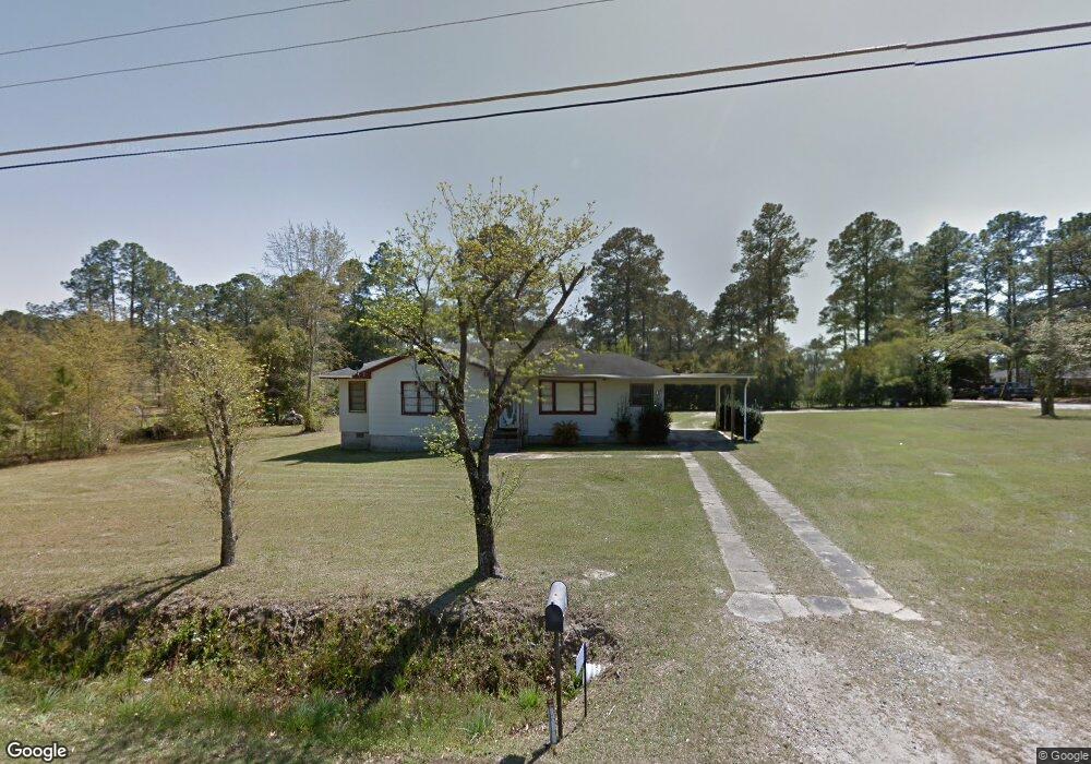
42 E Brewton St Mc Rae, GA 31055
Estimated Value: $92,000 - $111,000
3
Beds
1
Bath
1,284
Sq Ft
$76/Sq Ft
Est. Value
About This Home
This home is located at 42 E Brewton St, Mc Rae, GA 31055 and is currently estimated at $97,789, approximately $76 per square foot. 42 E Brewton St is a home located in Telfair County with nearby schools including Telfair County Elementary School, Telfair County Middle School, and Telfair County High School.
Ownership History
Date
Name
Owned For
Owner Type
Purchase Details
Closed on
Nov 30, 2023
Sold by
Ashley James R
Bought by
Davoudi Sean
Current Estimated Value
Purchase Details
Closed on
Mar 4, 2017
Sold by
Rogers Louise
Bought by
Ashley James Russell Lush
Purchase Details
Closed on
Mar 2, 2011
Sold by
Holland Charles T
Bought by
Rogers Louise
Purchase Details
Closed on
Apr 27, 2007
Sold by
Holland Mary B
Bought by
Holland George Russell and Holland Charles T
Create a Home Valuation Report for This Property
The Home Valuation Report is an in-depth analysis detailing your home's value as well as a comparison with similar homes in the area
Home Values in the Area
Average Home Value in this Area
Purchase History
| Date | Buyer | Sale Price | Title Company |
|---|---|---|---|
| Davoudi Sean | -- | -- | |
| Ashley James Russell Lush | $36,000 | -- | |
| Rogers Louise | $37,000 | -- | |
| Holland George Russell | -- | -- |
Source: Public Records
Tax History Compared to Growth
Tax History
| Year | Tax Paid | Tax Assessment Tax Assessment Total Assessment is a certain percentage of the fair market value that is determined by local assessors to be the total taxable value of land and additions on the property. | Land | Improvement |
|---|---|---|---|---|
| 2024 | $1,289 | $33,400 | $3,417 | $29,983 |
| 2023 | $1,245 | $30,779 | $3,417 | $27,362 |
| 2022 | $916 | $30,779 | $3,417 | $27,362 |
| 2021 | $665 | $21,253 | $3,417 | $17,836 |
| 2020 | $627 | $19,711 | $3,417 | $16,294 |
| 2019 | $656 | $20,513 | $3,417 | $17,096 |
| 2018 | $884 | $20,513 | $3,417 | $17,096 |
| 2017 | $632 | $19,829 | $3,060 | $16,769 |
| 2016 | $632 | $19,829 | $3,060 | $16,769 |
| 2015 | -- | $19,829 | $3,060 | $16,769 |
| 2014 | -- | $20,248 | $3,060 | $17,188 |
| 2013 | -- | $20,248 | $3,060 | $17,188 |
Source: Public Records
Map
Nearby Homes
- 27 E Bruce St
- 125 Fifth Ave
- 36 Strozier St
- 141 S First Ave
- 0 Bonaire St Unit 10647239
- 78 S Second Ave
- 47 S First Ave
- 160 E Willow Creek Ln
- 76 E Grant St
- 22 Spring Ave
- 0 Ll350 & 398 7th District Unit 30490
- 15 Ben Ave
- 210 W Graham St
- 427 3rd Ave
- 17 2nd St
- Lot 126 Pansy Ln
- 0 Jackson Ave Unit 10548102
- 00 U S 341
- 0 U S 23
- 82 Ashley Ln
- 21 E Bruce St
- 15 Flanders Ave Unit 46ac
- 15 Flanders Ave
- 25 E Bruce St
- 11 E Bruce St
- 20 E Bruce St
- 22 E Brewton St
- 12 E Bruce St
- E E Brewton St
- 26 E Bruce St
- 8 E Bruce St
- 3 E Bruce St
- 4 E Bruce St
- 203 Telfair Ave
- 0 Telfair Ave Unit 10278
- 0 Telfair Ave Unit 7627324
- 0 Telfair Ave Unit 8371814
- E Telfair Ave
- 750 Gussie Ave
- 0 Liberty St