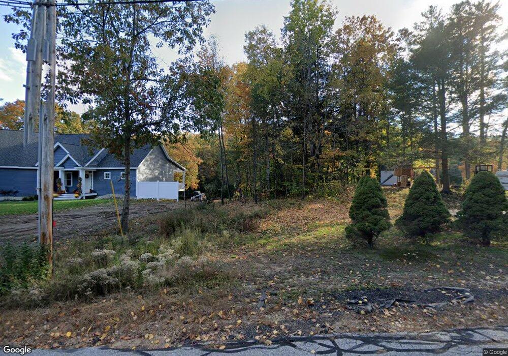
42 Emerald Cir Goffstown, NH 03045
Estimated Value: $680,000 - $1,065,000
2
Beds
3
Baths
1,955
Sq Ft
$418/Sq Ft
Est. Value
About This Home
This home is located at 42 Emerald Cir, Goffstown, NH 03045 and is currently estimated at $817,737, approximately $418 per square foot. 42 Emerald Cir is a home with nearby schools including Mountain View Middle School, Goffstown High School, and Namaste Montessori School.
Ownership History
Date
Name
Owned For
Owner Type
Purchase Details
Closed on
Mar 14, 2025
Sold by
Palmer Stephen and Palmer Michele
Bought by
Palmer Ret and Palmer
Current Estimated Value
Purchase Details
Closed on
Jan 30, 2020
Sold by
Palmer Stephen R
Bought by
Palmer Stephen R and Palmer Michele
Home Financials for this Owner
Home Financials are based on the most recent Mortgage that was taken out on this home.
Original Mortgage
$337,000
Interest Rate
3.72%
Mortgage Type
New Conventional
Purchase Details
Closed on
Mar 12, 2007
Sold by
2005-06 Cwabs
Bought by
Palmer Stephen R
Purchase Details
Closed on
Jan 29, 2007
Sold by
Sell 3Rd Alicia T and Sell Forrest
Bought by
2005-06 Cwabs
Purchase Details
Closed on
Apr 19, 1996
Sold by
Drapeau Guy J and Jean Drapeau E
Bought by
Sell Forrest H and Sell Alicia T
Create a Home Valuation Report for This Property
The Home Valuation Report is an in-depth analysis detailing your home's value as well as a comparison with similar homes in the area
Home Values in the Area
Average Home Value in this Area
Purchase History
| Date | Buyer | Sale Price | Title Company |
|---|---|---|---|
| Palmer Ret | -- | None Available | |
| Palmer Ret | -- | None Available | |
| Palmer Stephen R | -- | None Available | |
| Palmer Stephen R | $150,000 | -- | |
| Palmer Stephen R | $150,000 | -- | |
| 2005-06 Cwabs | $168,700 | -- | |
| Cwabs 2005-06 | $168,700 | -- | |
| Sell Forrest H | $85,900 | -- | |
| Sell Forrest H | $85,900 | -- |
Source: Public Records
Mortgage History
| Date | Status | Borrower | Loan Amount |
|---|---|---|---|
| Previous Owner | Palmer Stephen R | $337,000 | |
| Previous Owner | Sell Forrest H | $241,100 | |
| Previous Owner | Sell Forrest H | $164,000 |
Source: Public Records
Tax History Compared to Growth
Tax History
| Year | Tax Paid | Tax Assessment Tax Assessment Total Assessment is a certain percentage of the fair market value that is determined by local assessors to be the total taxable value of land and additions on the property. | Land | Improvement |
|---|---|---|---|---|
| 2024 | $14,472 | $708,000 | $230,800 | $477,200 |
| 2023 | $13,353 | $708,000 | $230,800 | $477,200 |
| 2022 | $12,271 | $466,400 | $146,400 | $320,000 |
| 2021 | $11,576 | $466,400 | $146,400 | $320,000 |
| 2020 | $11,576 | $466,400 | $146,400 | $320,000 |
| 2019 | $3,599 | $146,400 | $146,400 | $0 |
| 2018 | $434 | $176,500 | $162,100 | $14,400 |
| 2017 | $10,469 | $185,600 | $112,600 | $73,000 |
| 2016 | $4,905 | $185,600 | $112,600 | $73,000 |
| 2015 | $5,103 | $181,200 | $110,600 | $70,600 |
| 2014 | $4,892 | $181,200 | $110,600 | $70,600 |
Source: Public Records
Map
Nearby Homes
- 0 Mast Rd Unit 49 5054665
- 5 Goffstown Back Rd
- 15 Leslie Dr
- 102 Partridge Ln
- 3 Arabian Ct Unit A
- 4 Arabian Ct Unit B
- 10 Conestoga Ct Unit 10A
- 1B Dearborn Cir
- 2B Dearborn Cir
- 62 Roger Rd
- 37 Chatel Rd
- 11-1 Chatel Rd
- 36 Durango Dr
- 21 Katherine St
- 115 Normand Rd
- 43 Bay St
- 39 Bay St
- 212 Normand Rd
- 138 Tibbetts Hill Rd
- 46 Moose Club Park Rd