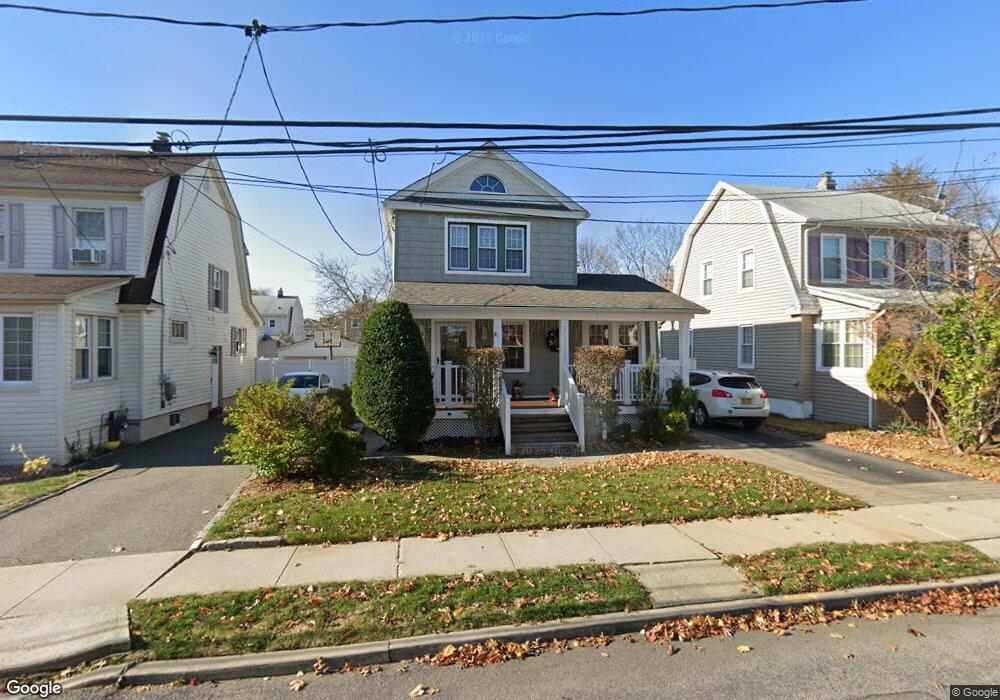
42 Eton St Valley Stream, NY 11581
Estimated Value: $661,489 - $735,000
3
Beds
2
Baths
1,184
Sq Ft
$590/Sq Ft
Est. Value
About This Home
This home is located at 42 Eton St, Valley Stream, NY 11581 and is currently estimated at $698,245, approximately $589 per square foot. 42 Eton St is a home located in Nassau County with nearby schools including Yeshiva of South Shore.
Ownership History
Date
Name
Owned For
Owner Type
Purchase Details
Closed on
Oct 26, 2016
Sold by
Lahey Ethan and Lahey Cristina
Bought by
Mohammed Ronnie and Mohammed Lisa
Current Estimated Value
Home Financials for this Owner
Home Financials are based on the most recent Mortgage that was taken out on this home.
Original Mortgage
$356,000
Outstanding Balance
$285,806
Interest Rate
3.42%
Mortgage Type
New Conventional
Estimated Equity
$412,439
Purchase Details
Closed on
Feb 25, 2004
Sold by
Vella Frank
Bought by
Lahey Ethan
Purchase Details
Closed on
Nov 11, 1997
Create a Home Valuation Report for This Property
The Home Valuation Report is an in-depth analysis detailing your home's value as well as a comparison with similar homes in the area
Home Values in the Area
Average Home Value in this Area
Purchase History
| Date | Buyer | Sale Price | Title Company |
|---|---|---|---|
| Mohammed Ronnie | $445,000 | The Judicial Title Insurance | |
| Lahey Ethan | $280,000 | -- | |
| -- | -- | -- |
Source: Public Records
Mortgage History
| Date | Status | Borrower | Loan Amount |
|---|---|---|---|
| Open | Mohammed Ronnie | $356,000 |
Source: Public Records
Tax History
| Year | Tax Paid | Tax Assessment Tax Assessment Total Assessment is a certain percentage of the fair market value that is determined by local assessors to be the total taxable value of land and additions on the property. | Land | Improvement |
|---|---|---|---|---|
| 2025 | $9,181 | $455 | $170 | $285 |
| 2024 | $1,774 | $455 | $170 | $285 |
| 2023 | $8,973 | $455 | $170 | $285 |
| 2022 | $8,973 | $455 | $170 | $285 |
| 2021 | $12,598 | $436 | $163 | $273 |
| 2020 | $9,280 | $625 | $480 | $145 |
| 2019 | $8,359 | $625 | $480 | $145 |
| 2018 | $7,851 | $625 | $0 | $0 |
| 2017 | $4,433 | $620 | $480 | $140 |
| 2016 | $5,849 | $620 | $480 | $140 |
| 2015 | $1,389 | $620 | $435 | $185 |
| 2014 | $1,389 | $620 | $435 | $185 |
| 2013 | $1,292 | $620 | $435 | $185 |
Source: Public Records
Map
Nearby Homes
- 15 Eton St
- 22 Eton St
- 530 Dubois Ave Unit 2C
- 530 Dubois Ave Unit 1B
- 530 Dubois Ave Unit 7C
- 510 Dubois Ave Unit 11B
- 6 Pershing Ave
- 80 Gibson Blvd Unit 1c
- 1 Munro Blvd
- 343 Cochran Place
- 13 Gotham St
- 6 Birch Way
- 165 Cochran Place
- 88 Spruce Ln
- 88 Marlboro Rd
- 129 Cochran Place
- 9 Pine Ln
- 29 Orleans Rd
- 144 Fairfield St
- 75 Peninsula Blvd
Your Personal Tour Guide
Ask me questions while you tour the home.