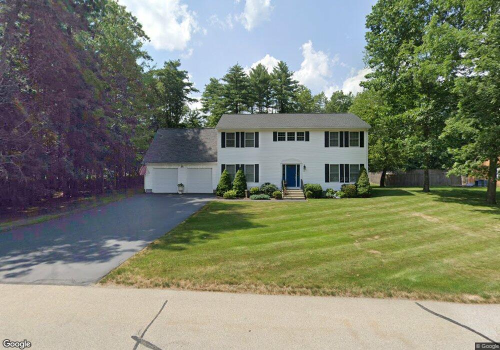
42 Ferry Rd Nashua, NH 03064
Northeast Nashua NeighborhoodEstimated Value: $703,000 - $921,000
4
Beds
3
Baths
2,752
Sq Ft
$285/Sq Ft
Est. Value
About This Home
This home is located at 42 Ferry Rd, Nashua, NH 03064 and is currently estimated at $785,549, approximately $285 per square foot. 42 Ferry Rd is a home located in Hillsborough County with nearby schools including Charlotte Ave Elementary School, Pennichuck Middle School, and Nashua High School North.
Ownership History
Date
Name
Owned For
Owner Type
Purchase Details
Closed on
Aug 22, 2005
Sold by
Hollis Acquisitions In
Bought by
Bazzani Victor I and Bazzani Lisa M
Current Estimated Value
Home Financials for this Owner
Home Financials are based on the most recent Mortgage that was taken out on this home.
Original Mortgage
$363,920
Outstanding Balance
$191,172
Interest Rate
5.66%
Mortgage Type
Purchase Money Mortgage
Estimated Equity
$594,377
Create a Home Valuation Report for This Property
The Home Valuation Report is an in-depth analysis detailing your home's value as well as a comparison with similar homes in the area
Home Values in the Area
Average Home Value in this Area
Purchase History
| Date | Buyer | Sale Price | Title Company |
|---|---|---|---|
| Bazzani Victor I | $454,900 | -- |
Source: Public Records
Mortgage History
| Date | Status | Borrower | Loan Amount |
|---|---|---|---|
| Open | Bazzani Victor I | $363,920 |
Source: Public Records
Tax History Compared to Growth
Tax History
| Year | Tax Paid | Tax Assessment Tax Assessment Total Assessment is a certain percentage of the fair market value that is determined by local assessors to be the total taxable value of land and additions on the property. | Land | Improvement |
|---|---|---|---|---|
| 2024 | $12,186 | $766,400 | $173,600 | $592,800 |
| 2023 | $11,576 | $635,000 | $138,900 | $496,100 |
| 2022 | $11,467 | $634,600 | $138,900 | $495,700 |
| 2021 | $10,242 | $441,100 | $92,600 | $348,500 |
| 2020 | $9,973 | $441,100 | $92,600 | $348,500 |
| 2019 | $9,598 | $441,100 | $92,600 | $348,500 |
| 2018 | $9,356 | $441,100 | $92,600 | $348,500 |
| 2017 | $10,223 | $396,400 | $85,700 | $310,700 |
| 2016 | $9,938 | $396,400 | $85,700 | $310,700 |
| 2015 | $9,724 | $396,400 | $85,700 | $310,700 |
| 2014 | $9,533 | $396,400 | $85,700 | $310,700 |
Source: Public Records
Map
Nearby Homes
- 33 Ferry Rd
- 30 Burgess St
- 17 Danbury Rd
- 74 Profile Cir
- 3 Wright Rd
- 123 Cannongate III
- 31 Ashland St
- 3 Opal Way Unit 3
- 1 Opal Way Unit 1
- 2 Opal Way Unit 2
- 12 Juliana Ave Unit 14
- 31 Juliana Ave
- 31 Juliana Ave Unit 4
- 11 Amherst Terrace
- 11 Juliana Ave Unit 52
- 44 Broad St
- 9 Elystan Cir
- 19 Bartlett Ave
- 4 Reservoir St
- 7 Robert Dr
- 44 Ferry Rd
- 41 Ferry Rd Unit 101
- 39 Ferry Rd
- 31 Salisbury Rd Unit U51
- 29 Salisbury Rd Unit U52
- 27 Salisbury Rd Unit U53
- 3 Prestonfield Rd Unit U65
- 25 Salisbury Rd Unit U54
- 5 Prestonfield Rd Unit U66
- 28 Salisbury Rd Unit U50
- 7 Prestonfield Rd Unit U67
- 9 Prestonfield Rd Unit U68
- 21 Salisbury Rd Unit U56
- 15 Prestonfield Rd Unit U70
- 11 Prestonfield Rd Unit U69
- 15 Westminster Dr Unit U165
- 26 Salisbury Rd Unit U49
- 11 Westminster Dr Unit U164
- 24 Salisbury Rd Unit U48
- 22 Salisbury Rd Unit U47