Estimated Value: $476,000 - $562,000
4
Beds
3
Baths
1,972
Sq Ft
$257/Sq Ft
Est. Value
About This Home
This home is located at 42 Fieldstone Cir, Weare, NH 03281 and is currently estimated at $507,460, approximately $257 per square foot. 42 Fieldstone Cir is a home with nearby schools including Center Woods Elementary School, Weare Middle School, and John Stark Regional High School.
Ownership History
Date
Name
Owned For
Owner Type
Purchase Details
Closed on
Jul 24, 2007
Sold by
Pepelis Gary M and Pepelis Jill
Bought by
Kincaid Mitchell A
Current Estimated Value
Create a Home Valuation Report for This Property
The Home Valuation Report is an in-depth analysis detailing your home's value as well as a comparison with similar homes in the area
Home Values in the Area
Average Home Value in this Area
Purchase History
| Date | Buyer | Sale Price | Title Company |
|---|---|---|---|
| Kincaid Mitchell A | $239,000 | -- |
Source: Public Records
Mortgage History
| Date | Status | Borrower | Loan Amount |
|---|---|---|---|
| Open | Kincaid Mitchell A | $188,000 | |
| Closed | Kincaid Mitchell A | $186,000 | |
| Closed | Kincaid Mitchell A | $192,000 |
Source: Public Records
Tax History Compared to Growth
Tax History
| Year | Tax Paid | Tax Assessment Tax Assessment Total Assessment is a certain percentage of the fair market value that is determined by local assessors to be the total taxable value of land and additions on the property. | Land | Improvement |
|---|---|---|---|---|
| 2024 | $7,108 | $348,600 | $91,800 | $256,800 |
| 2023 | $6,449 | $342,300 | $91,800 | $250,500 |
| 2022 | $5,956 | $342,300 | $91,800 | $250,500 |
| 2021 | $5,888 | $342,300 | $91,800 | $250,500 |
| 2020 | $5,705 | $238,200 | $68,300 | $169,900 |
| 2019 | $5,648 | $238,200 | $68,300 | $169,900 |
| 2018 | $5,486 | $238,200 | $68,300 | $169,900 |
| 2016 | $5,329 | $238,200 | $68,300 | $169,900 |
| 2015 | $5,190 | $231,600 | $67,800 | $163,800 |
| 2014 | $5,077 | $228,600 | $67,800 | $160,800 |
| 2013 | $4,972 | $228,600 | $67,800 | $160,800 |
Source: Public Records
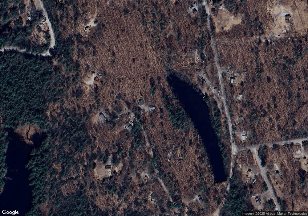
Map
Nearby Homes
- 200 Mountain Rd
- 238 Old Francestown Rd
- Lot 1-50-1 Colburn Rd
- 196 Deering Center Rd
- 133 Hay Hill Rd
- 179 Oak Hill Rd
- Lot 2 Journeys End Rd
- Lot 3 Journeys End Rd
- 194 Buckley Rd Unit 2
- 194 Buckley Rd Unit 44
- 450 Weare Rd
- 252 Clark Hill Rd
- 0 Bible Hill Extension Unit 1
- 624 S Stark Hwy
- 281 Hodgdon Rd
- 136 Main St
- 103 Renshaw Rd
- 77 Gould Rd
- 342 Weare Rd
- 3 Old County Rd S
- 57 Fieldstone Cir
- 75 Bogue Rd
- 17 Fieldstone Cir
- 11 Mountain School Rd
- 47 Mountain School Rd
- 29 Fieldstone Cir
- 32 Mountain School Rd Unit 410-165
- 28 Fieldstone Cir
- 28 Mountain School Rd
- 20 Mountain School Rd
- 12 Mountain School Rd
- 40 Mountain School Rd
- 6 Mountain School Rd
- 85 Mountain School Rd
- 171 Cram Rd
- 53 Mountain School Rd
- 151 Cram Rd
- 8 Abbie Dr
- 54 Mountain School Rd
- 63 Mountain School Rd