42 Hancock Cove Franklin, OH 45005
Estimated Value: $294,067 - $329,000
3
Beds
3
Baths
1,629
Sq Ft
$192/Sq Ft
Est. Value
About This Home
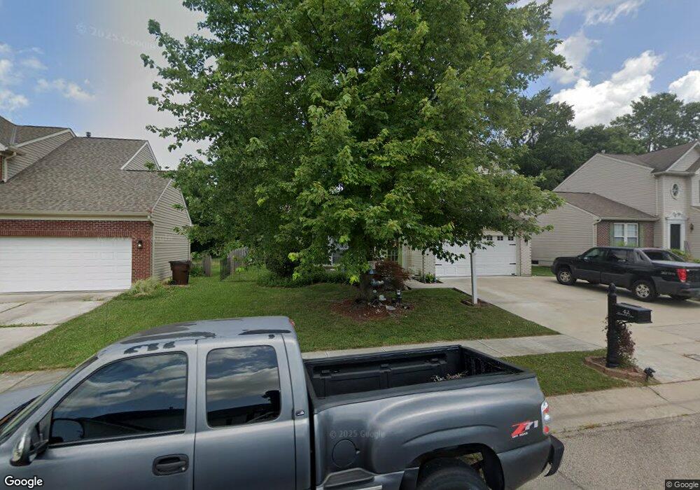
This home is located at 42 Hancock Cove, Franklin, OH 45005 and is currently estimated at $312,767, approximately $191 per square foot. 42 Hancock Cove is a home located in Warren County with nearby schools including Franklin High School and Summit Academy Community School for Alternative Learners - Middletown.
Ownership History
Date
Name
Owned For
Owner Type
Purchase Details
Closed on
Apr 28, 2011
Sold by
Mikesell Michael H and Mikesell Susan D
Bought by
Mcguire Chastity A
Current Estimated Value
Home Financials for this Owner
Home Financials are based on the most recent Mortgage that was taken out on this home.
Original Mortgage
$131,577
Outstanding Balance
$90,890
Interest Rate
4.75%
Mortgage Type
FHA
Estimated Equity
$221,877
Purchase Details
Closed on
Oct 12, 2004
Sold by
Nvr Inc
Bought by
Mikesell Michael H and Mikesell Susan D
Home Financials for this Owner
Home Financials are based on the most recent Mortgage that was taken out on this home.
Original Mortgage
$78,000
Interest Rate
5.85%
Mortgage Type
Purchase Money Mortgage
Purchase Details
Closed on
Jun 9, 2004
Sold by
Hdc Iii Llc
Bought by
Nvr Inc
Create a Home Valuation Report for This Property
The Home Valuation Report is an in-depth analysis detailing your home's value as well as a comparison with similar homes in the area
Home Values in the Area
Average Home Value in this Area
Purchase History
| Date | Buyer | Sale Price | Title Company |
|---|---|---|---|
| Mcguire Chastity A | $135,000 | Vantage Land Title | |
| Mikesell Michael H | $157,633 | -- | |
| Nvr Inc | $23,500 | First Title Agency Inc |
Source: Public Records
Mortgage History
| Date | Status | Borrower | Loan Amount |
|---|---|---|---|
| Open | Mcguire Chastity A | $131,577 | |
| Previous Owner | Mikesell Michael H | $78,000 |
Source: Public Records
Tax History Compared to Growth
Tax History
| Year | Tax Paid | Tax Assessment Tax Assessment Total Assessment is a certain percentage of the fair market value that is determined by local assessors to be the total taxable value of land and additions on the property. | Land | Improvement |
|---|---|---|---|---|
| 2024 | $3,684 | $78,310 | $24,500 | $53,810 |
| 2023 | $3,172 | $60,462 | $12,915 | $47,547 |
| 2022 | $3,111 | $60,463 | $12,915 | $47,548 |
| 2021 | $2,949 | $60,463 | $12,915 | $47,548 |
| 2020 | $2,719 | $49,158 | $10,500 | $38,658 |
| 2019 | $2,473 | $49,158 | $10,500 | $38,658 |
| 2018 | $2,477 | $49,158 | $10,500 | $38,658 |
| 2017 | $2,307 | $41,888 | $8,320 | $33,569 |
| 2016 | $2,351 | $41,888 | $8,320 | $33,569 |
| 2015 | $2,351 | $41,888 | $8,320 | $33,569 |
| 2014 | $2,312 | $40,670 | $8,080 | $32,590 |
| 2013 | $1,985 | $52,850 | $10,500 | $42,350 |
Source: Public Records
Map
Nearby Homes
- 60 Pleasant Hill Blvd
- 220 Pleasant Hill Blvd
- 25 Timber Creek Dr
- 5756 Union Rd
- 5845 Manchester Rd
- 0 Kathy Ln Unit 1834240
- 0 Kathy Ln Unit 930066
- 6772 Rivulet Dr
- 5696 Woodcreek Dr
- 1117 S Main St
- 5714 Millbrook Dr
- 5667 Woodcreek Dr
- 1010 S Main St
- 7 Brown St
- 218 Roberts Ave
- 1007 S River St
- 5760 Autumn Dr
- 6777 Crystal Harbour Dr
- 6795 Crystal Harbour Dr
- 5019 Waterford Ln
- 32 Hancock Cove
- 52 Hancock Cove
- 22 Hancock Cove
- 62 Hancock Cove
- 35 Hancock Cove
- 45 Hancock Cove
- 25 Hancock Cove
- 12 Hancock Cove
- 72 Hancock Cove
- 65 Hancock Cove
- 15 Hancock Cove
- 61 Pleasant Hill Blvd
- 82 Hancock Cove
- 21 Pleasant Hill Blvd
- 71 Pleasant Hill Blvd
- 75 Hancock Cove
- 40 Pleasant Hill Blvd
- 50 Pleasant Hill Blvd
- 20 Pleasant Hill Blvd
- 70 Pleasant Hill Blvd