42 Hooksett Turnpike Concord, NH 03301
South End NeighborhoodEstimated Value: $473,000 - $550,000
3
Beds
2
Baths
1,344
Sq Ft
$373/Sq Ft
Est. Value
About This Home
This home is located at 42 Hooksett Turnpike, Concord, NH 03301 and is currently estimated at $501,266, approximately $372 per square foot. 42 Hooksett Turnpike is a home located in Merrimack County with nearby schools including Abbot-Downing School, Rundlett Middle School, and Concord High School.
Ownership History
Date
Name
Owned For
Owner Type
Purchase Details
Closed on
Aug 15, 1997
Sold by
John M Gruber Tr and Pauline A Gruber Tr
Bought by
Gosselin Roger I and Gosselin Susan L
Current Estimated Value
Home Financials for this Owner
Home Financials are based on the most recent Mortgage that was taken out on this home.
Original Mortgage
$76,000
Outstanding Balance
$9,543
Interest Rate
7.56%
Mortgage Type
Purchase Money Mortgage
Estimated Equity
$491,723
Create a Home Valuation Report for This Property
The Home Valuation Report is an in-depth analysis detailing your home's value as well as a comparison with similar homes in the area
Home Values in the Area
Average Home Value in this Area
Purchase History
| Date | Buyer | Sale Price | Title Company |
|---|---|---|---|
| Gosselin Roger I | $95,000 | -- |
Source: Public Records
Mortgage History
| Date | Status | Borrower | Loan Amount |
|---|---|---|---|
| Open | Gosselin Roger I | $76,000 |
Source: Public Records
Tax History
| Year | Tax Paid | Tax Assessment Tax Assessment Total Assessment is a certain percentage of the fair market value that is determined by local assessors to be the total taxable value of land and additions on the property. | Land | Improvement |
|---|---|---|---|---|
| 2025 | $9,161 | $314,700 | $141,900 | $172,800 |
| 2024 | $8,714 | $314,700 | $141,900 | $172,800 |
| 2023 | $8,453 | $314,700 | $141,900 | $172,800 |
| 2022 | $8,148 | $314,700 | $141,900 | $172,800 |
| 2021 | $7,938 | $316,000 | $141,900 | $174,100 |
| 2020 | $7,249 | $270,900 | $112,300 | $158,600 |
| 2019 | $7,053 | $253,900 | $105,100 | $148,800 |
| 2018 | $6,887 | $244,300 | $97,400 | $146,900 |
| 2017 | $6,588 | $233,300 | $97,400 | $135,900 |
| 2016 | $6,364 | $230,000 | $97,400 | $132,600 |
| 2015 | $2,987 | $206,800 | $80,900 | $125,900 |
| 2014 | $2,772 | $206,800 | $80,900 | $125,900 |
| 2013 | -- | $209,600 | $80,900 | $128,700 |
| 2012 | -- | $200,800 | $76,800 | $124,000 |
Source: Public Records
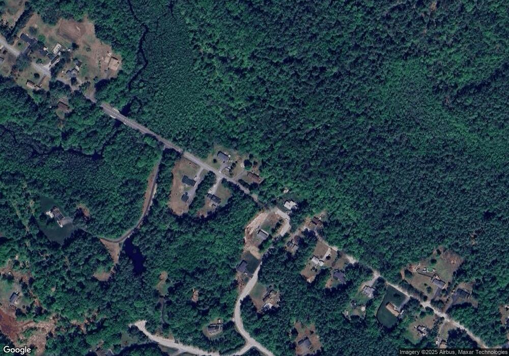
Map
Nearby Homes
- 8 Longview Dr
- 13 Birchdale Rd
- 107 Page Rd
- 13 van Ger Dr
- 0 Brown Hill Rd Unit 5032600
- 77 White Rock Hill Rd
- 192 Grapevine Rd
- 104 White Rock Hill Rd
- 4 Bow Center Rd Unit F2
- 4 Bow Center Rd Unit B2
- 99 Brown Hill Rd
- 66 Winslow Rd
- 22 Bow Bog Rd
- 289 South St
- 14-2 Jewett Rd
- 20 Grandview Rd
- 0 South St Unit 4969509
- 6 Reserve Place
- 5 Broad Ave
- 47 Bog Rd Unit G2
- 48 Hooksett Turnpike
- 43 Hooksett Turnpike
- 30 Hooksett Turnpike
- 31 Hooksett Turnpike
- 49 Hooksett Turnpike
- 28 Hooksett Turnpike
- 29 Hooksett Turnpike
- 4 Cedar Ln
- 27 Hooksett Turnpike
- 140 Hooksett Turnpike
- 144 Hooksett Turnpike
- 138 Hooksett Turnpike
- 148 Hooksett Turnpike
- 146 Hooksett Turnpike
- 142 Hooksett Turnpike
- 1 Cedar Ln
- 25 Hooksett Turnpike
- 4 Terrace Hill Rd
- 8 Cedar Ln
- 23 Hooksett Turnpike
Your Personal Tour Guide
Ask me questions while you tour the home.