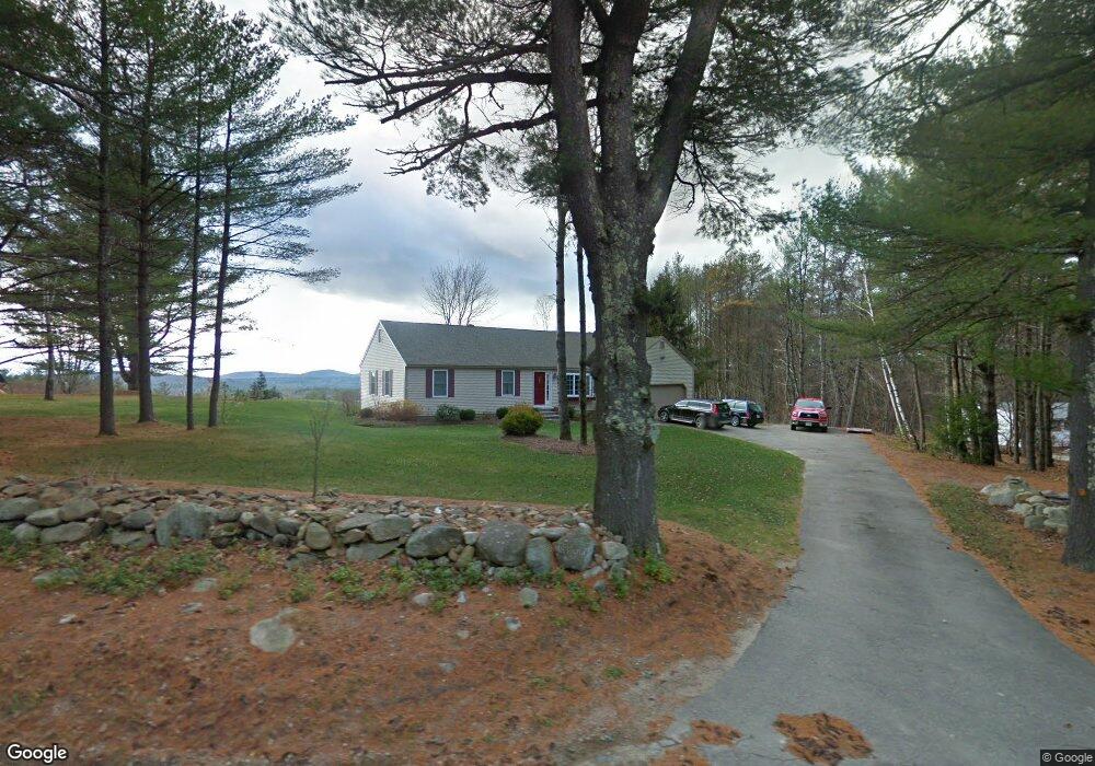
42 Keyser Rd Meredith, NH 03253
Estimated Value: $546,894 - $732,000
3
Beds
2
Baths
1,550
Sq Ft
$432/Sq Ft
Est. Value
About This Home
This home is located at 42 Keyser Rd, Meredith, NH 03253 and is currently estimated at $668,974, approximately $431 per square foot. 42 Keyser Rd is a home located in Belknap County with nearby schools including Inter-Lakes Elementary School, Sandwich Central School, and Inter-Lakes Middle High School.
Ownership History
Date
Name
Owned For
Owner Type
Purchase Details
Closed on
Nov 29, 2011
Sold by
Meeken Christopher and Meeken Lisa M
Bought by
Hughes Robert J and Hughes Nancy J
Current Estimated Value
Home Financials for this Owner
Home Financials are based on the most recent Mortgage that was taken out on this home.
Original Mortgage
$180,000
Outstanding Balance
$120,620
Interest Rate
4.12%
Mortgage Type
Purchase Money Mortgage
Estimated Equity
$548,354
Purchase Details
Closed on
Aug 24, 2004
Sold by
Mears Louise M
Bought by
Whalley Lisa M
Home Financials for this Owner
Home Financials are based on the most recent Mortgage that was taken out on this home.
Original Mortgage
$202,500
Interest Rate
6.03%
Mortgage Type
Purchase Money Mortgage
Create a Home Valuation Report for This Property
The Home Valuation Report is an in-depth analysis detailing your home's value as well as a comparison with similar homes in the area
Home Values in the Area
Average Home Value in this Area
Purchase History
| Date | Buyer | Sale Price | Title Company |
|---|---|---|---|
| Hughes Robert J | $235,000 | -- | |
| Whalley Lisa M | $225,000 | -- |
Source: Public Records
Mortgage History
| Date | Status | Borrower | Loan Amount |
|---|---|---|---|
| Open | Whalley Lisa M | $180,000 | |
| Previous Owner | Whalley Lisa M | $202,500 |
Source: Public Records
Tax History
| Year | Tax Paid | Tax Assessment Tax Assessment Total Assessment is a certain percentage of the fair market value that is determined by local assessors to be the total taxable value of land and additions on the property. | Land | Improvement |
|---|---|---|---|---|
| 2025 | $4,540 | $427,500 | $158,100 | $269,400 |
| 2024 | $4,386 | $427,500 | $158,100 | $269,400 |
| 2023 | $4,228 | $427,500 | $158,100 | $269,400 |
| 2022 | $4,317 | $309,000 | $107,700 | $201,300 |
| 2021 | $4,144 | $308,600 | $107,700 | $200,900 |
| 2020 | $4,327 | $308,600 | $107,700 | $200,900 |
| 2019 | $4,182 | $263,200 | $79,500 | $183,700 |
| 2018 | $4,111 | $263,200 | $79,500 | $183,700 |
| 2016 | $3,855 | $247,300 | $77,300 | $170,000 |
| 2015 | $3,628 | $238,700 | $71,800 | $166,900 |
| 2014 | $3,540 | $238,700 | $71,800 | $166,900 |
| 2013 | $3,440 | $238,700 | $71,800 | $166,900 |
Source: Public Records
Map
Nearby Homes
- 20 True Rd Unit 52
- 20 True Rd Unit 101
- 20 True Rd Unit 73
- 20 True Rd Unit 94
- 20 True Rd Unit 93
- 11 Birch Ledge Rd
- 21 Barnard Ridge Rd
- 105 Nh Route 25
- 3 Abbey Ln Unit 7
- 8 Oak Knoll Rd
- 7 Mudgett Ave
- 53 Oak Knoll Rd
- 21 Pleasant St
- 15 Highland St
- 11 Bonney Shores Rd
- 133 Main St
- 122 Coe Hill Rd
- 10 Skywatch Rd
- 307 Dane Rd
- 67 Kline Rd
Your Personal Tour Guide
Ask me questions while you tour the home.