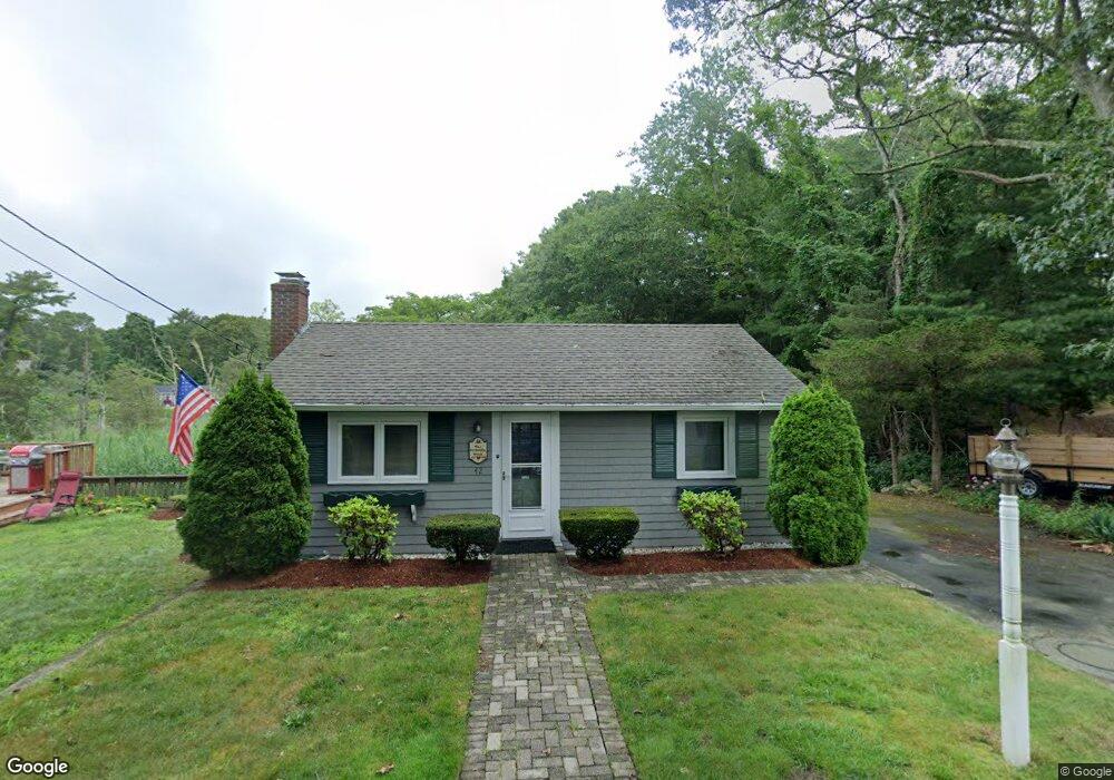
42 King Phillip Rd Pocasset, MA 02559
Pocasset NeighborhoodEstimated Value: $506,205 - $625,000
2
Beds
1
Bath
600
Sq Ft
$935/Sq Ft
Est. Value
About This Home
This home is located at 42 King Phillip Rd, Pocasset, MA 02559 and is currently estimated at $560,801, approximately $934 per square foot. 42 King Phillip Rd is a home located in Barnstable County with nearby schools including Bourne High School, Cadence Academy Preschool - Bourne, and St Margaret Regional School.
Create a Home Valuation Report for This Property
The Home Valuation Report is an in-depth analysis detailing your home's value as well as a comparison with similar homes in the area
Home Values in the Area
Average Home Value in this Area
Tax History Compared to Growth
Tax History
| Year | Tax Paid | Tax Assessment Tax Assessment Total Assessment is a certain percentage of the fair market value that is determined by local assessors to be the total taxable value of land and additions on the property. | Land | Improvement |
|---|---|---|---|---|
| 2025 | $3,343 | $428,100 | $288,400 | $139,700 |
| 2024 | $3,260 | $406,500 | $274,700 | $131,800 |
| 2023 | $3,170 | $359,800 | $243,100 | $116,700 |
| 2022 | $2,902 | $287,600 | $195,000 | $92,600 |
| 2021 | $2,819 | $261,700 | $177,400 | $84,300 |
| 2020 | $2,744 | $255,500 | $175,700 | $79,800 |
| 2019 | $2,638 | $251,000 | $175,700 | $75,300 |
| 2018 | $2,482 | $235,500 | $167,400 | $68,100 |
| 2017 | $2,402 | $233,200 | $165,800 | $67,400 |
| 2016 | $2,337 | $230,000 | $165,800 | $64,200 |
| 2015 | $2,316 | $230,000 | $165,800 | $64,200 |
Source: Public Records
Map
Nearby Homes
- 46 King Phillip Rd
- 33 King Phillip Rd
- 50 King Phillip Rd
- 41 King Phillip Rd
- 29 King Phillip Rd
- 780 Shore Rd
- 6 Pocahontas Rd
- 774 Shore Rd
- 770 Shore Rd
- 49 King Phillip Rd
- 25 King Phillip Rd
- 58 King Phillip Rd
- 14 Pocahontas Rd
- 784 Shore Rd
- 3 Wabenaki Rd
- 62 King Phillip Rd
- 566 Shore
- 5 Pocahontas Rd
- 22 Pocahontas Rd
- 9 Pocahontas Rd