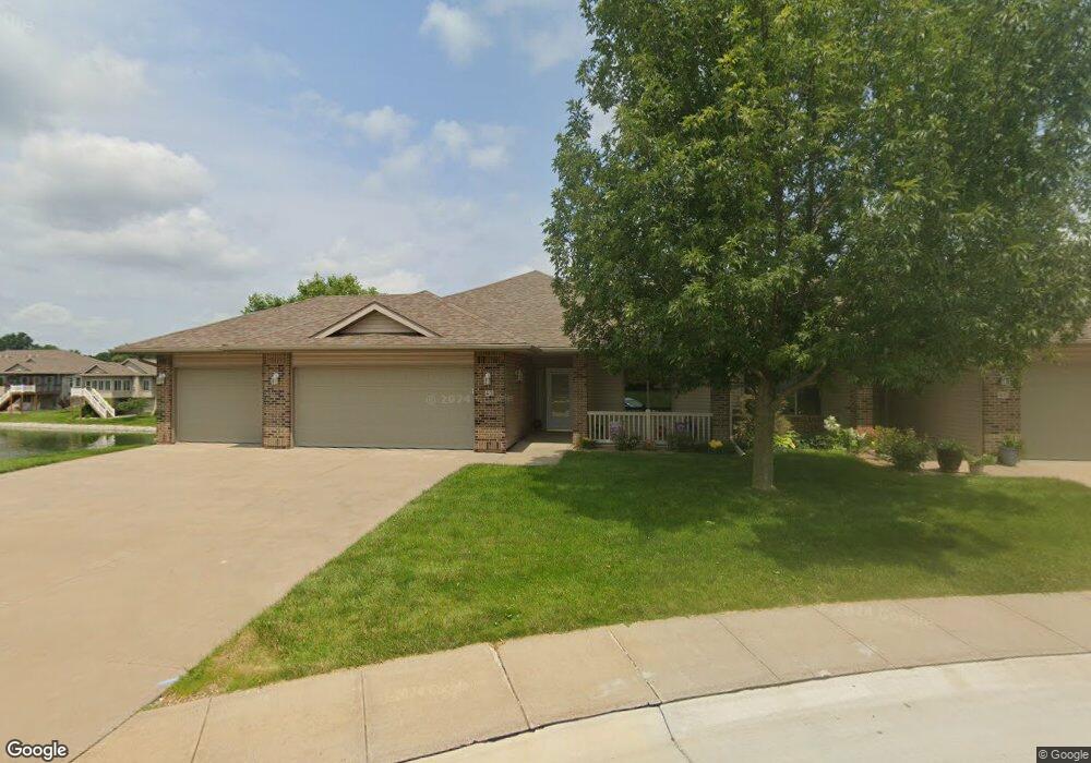
42 Lancester Place Iowa City, IA 52240
Eastside NeighborhoodEstimated Value: $369,000 - $433,706
3
Beds
3
Baths
2,664
Sq Ft
$154/Sq Ft
Est. Value
About This Home
This home is located at 42 Lancester Place, Iowa City, IA 52240 and is currently estimated at $411,177, approximately $154 per square foot. 42 Lancester Place is a home located in Johnson County with nearby schools including Robert Lucas Elementary School, Southeast Junior High School, and City High School.
Ownership History
Date
Name
Owned For
Owner Type
Purchase Details
Closed on
Jun 15, 2011
Sold by
Stellinga Mark H and Stellinga Connie S
Bought by
Cerny Ronald L and Cerny Lavina L
Current Estimated Value
Purchase Details
Closed on
Sep 6, 2006
Sold by
Eastside Investors Llc
Bought by
Stellinga Mark H and Stellinga Connie S
Home Financials for this Owner
Home Financials are based on the most recent Mortgage that was taken out on this home.
Original Mortgage
$235,500
Interest Rate
6.12%
Mortgage Type
Adjustable Rate Mortgage/ARM
Create a Home Valuation Report for This Property
The Home Valuation Report is an in-depth analysis detailing your home's value as well as a comparison with similar homes in the area
Home Values in the Area
Average Home Value in this Area
Purchase History
| Date | Buyer | Sale Price | Title Company |
|---|---|---|---|
| Cerny Ronald L | $320,000 | None Available | |
| Stellinga Mark H | $318,000 | None Available |
Source: Public Records
Mortgage History
| Date | Status | Borrower | Loan Amount |
|---|---|---|---|
| Previous Owner | Stellinga Mark H | $235,500 |
Source: Public Records
Tax History Compared to Growth
Tax History
| Year | Tax Paid | Tax Assessment Tax Assessment Total Assessment is a certain percentage of the fair market value that is determined by local assessors to be the total taxable value of land and additions on the property. | Land | Improvement |
|---|---|---|---|---|
| 2025 | $7,220 | $424,440 | $59,170 | $365,270 |
| 2024 | $7,250 | $402,900 | $56,480 | $346,420 |
| 2023 | $7,074 | $402,900 | $56,480 | $346,420 |
| 2022 | $7,074 | $335,230 | $51,100 | $284,130 |
| 2021 | $6,756 | $335,230 | $51,100 | $284,130 |
| 2020 | $6,902 | $327,840 | $48,420 | $279,420 |
| 2019 | $6,656 | $327,840 | $48,420 | $279,420 |
| 2018 | $6,656 | $311,430 | $43,040 | $268,390 |
| 2017 | $6,118 | $311,430 | $43,040 | $268,390 |
| 2016 | $5,994 | $286,830 | $43,040 | $243,790 |
| 2015 | $5,994 | $286,830 | $43,040 | $243,790 |
| 2014 | $5,804 | $277,060 | $43,040 | $234,020 |
Source: Public Records
Map
Nearby Homes
- 1847 Richmond Ln
- 1342 Oxford Place Unit E2
- 1623 Clifford Ln
- 3433 S Jamie Ln
- 25 Modern Way
- 1555 Stafford Place
- 2038 Hannah Jo Ct
- 3 Video Ct
- 15 Willoughby Place
- 79 Modern Way
- 20 Erobi Ln
- 22 Dunuggan Ct
- 8 Expo Dr
- 3005 Parkview Ave
- 1135 Hampton Ct
- 1240 Esther Ct
- 2568 S Scott Blvd Unit 2600 S Scott Blvd, L
- 2536 S Scott Blvd
- 3201 Muscatine Ave Unit 3
- 22 Bedford Ct
- 46 Lancester Place
- 50 Lancester Place
- 34 Lancester Place
- 30 Lancester Place
- 26 Lancester Place
- 1445 Buckingham Place Unit 10A
- 58 Lancester Place
- 1441 Buckingham Place Unit 10B
- 1441 Buckingham Place Unit B
- 1455 Buckingham Place
- 62 Lancester Place
- 1441 Village Rd
- 18 Lancester Place Unit B
- 66 Lancester Place
- 1437 Village Rd
- 1433 Village Rd
- 14 Lancester Place Unit 15A
- 1463 Buckingham Place
- 74 Lancester Place Unit A
- 3122 Wintergreen Dr Unit C