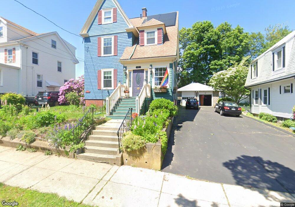
42 Lewis Ave Winthrop, MA 02152
Downtown Winthrop NeighborhoodEstimated Value: $797,287 - $928,000
3
Beds
2
Baths
2,064
Sq Ft
$410/Sq Ft
Est. Value
About This Home
This home is located at 42 Lewis Ave, Winthrop, MA 02152 and is currently estimated at $845,572, approximately $409 per square foot. 42 Lewis Ave is a home located in Suffolk County with nearby schools including William P. Gorman/Fort Banks Elementary School, Arthur T. Cummings Elementary School, and Winthrop Middle School.
Ownership History
Date
Name
Owned For
Owner Type
Purchase Details
Closed on
Nov 11, 2018
Sold by
Connolly Thomas R and Connolly Mary N
Bought by
Thomas R Connolly T
Current Estimated Value
Purchase Details
Closed on
Nov 30, 2000
Sold by
Carey Karen M
Bought by
Connolly Thomas R and Connolly Mary N
Purchase Details
Closed on
Dec 8, 1992
Sold by
Mitchell Ruth E
Bought by
Carey Karen M
Create a Home Valuation Report for This Property
The Home Valuation Report is an in-depth analysis detailing your home's value as well as a comparison with similar homes in the area
Home Values in the Area
Average Home Value in this Area
Purchase History
| Date | Buyer | Sale Price | Title Company |
|---|---|---|---|
| Thomas R Connolly T | -- | -- | |
| Connolly Thomas R | $269,000 | -- | |
| Carey Karen M | $160,000 | -- |
Source: Public Records
Mortgage History
| Date | Status | Borrower | Loan Amount |
|---|---|---|---|
| Previous Owner | Carey Karen M | $211,200 | |
| Previous Owner | Carey Karen M | $79,900 | |
| Previous Owner | Carey Karen M | $230,000 |
Source: Public Records
Tax History Compared to Growth
Tax History
| Year | Tax Paid | Tax Assessment Tax Assessment Total Assessment is a certain percentage of the fair market value that is determined by local assessors to be the total taxable value of land and additions on the property. | Land | Improvement |
|---|---|---|---|---|
| 2025 | $6,983 | $676,600 | $337,300 | $339,300 |
| 2024 | $7,200 | $691,000 | $324,200 | $366,800 |
| 2023 | $6,638 | $620,400 | $296,700 | $323,700 |
| 2022 | $6,396 | $543,900 | $265,100 | $278,800 |
| 2021 | $6,440 | $507,900 | $236,600 | $271,300 |
| 2020 | $6,410 | $507,900 | $236,600 | $271,300 |
| 2019 | $6,282 | $476,600 | $218,100 | $258,500 |
| 2018 | $6,130 | $432,900 | $187,200 | $245,700 |
| 2017 | $5,546 | $384,900 | $165,700 | $219,200 |
| 2016 | $5,502 | $358,000 | $144,100 | $213,900 |
| 2015 | $4,997 | $348,500 | $139,900 | $208,600 |
| 2014 | $5,001 | $321,000 | $130,100 | $190,900 |
Source: Public Records
Map
Nearby Homes
- 28 Thornton Park
- 3 Buckthorn Terrace Unit 2
- 279 Shirley St Unit 2
- 28 Pearl Ave Unit 3
- 51 Cutler St Unit 3
- 174 Winthrop St Unit 2
- 148 Winthrop Shore Dr Unit 5
- 23 Trident Ave Unit 2
- 53 Trident Ave Unit 103
- 53 Trident Ave Unit 303
- 37 Trident Ave
- 600 Shirley St Unit 3
- 600 Shirley St Unit 15
- 600 Shirley St Unit 1
- 34 Fremont St
- 92 Plummer Ave
- 142 Pleasant St Unit 12
- 142 Pleasant St Unit 2
- 220 Woodside Ave Unit 1
- 100 Cottage Ave