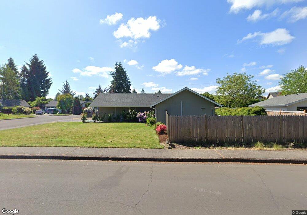
42 Lynnbrook Dr Eugene, OR 97404
Santa Clara NeighborhoodEstimated Value: $366,000 - $384,000
3
Beds
2
Baths
992
Sq Ft
$377/Sq Ft
Est. Value
About This Home
This home is located at 42 Lynnbrook Dr, Eugene, OR 97404 and is currently estimated at $373,570, approximately $376 per square foot. 42 Lynnbrook Dr is a home located in Lane County with nearby schools including Spring Creek Elementary School, Madison Middle School, and North Eugene High School.
Ownership History
Date
Name
Owned For
Owner Type
Purchase Details
Closed on
Nov 27, 2023
Sold by
Ollar Douglas E and Ollar Brady L
Bought by
Douglas E Ollar And Brady L Ollar Revocable T and Ollar
Current Estimated Value
Purchase Details
Closed on
Aug 19, 2014
Sold by
Lindsey Mark Alan and Lindsey Julie L
Bought by
Ollar Douglas E and Ollar Brady L
Create a Home Valuation Report for This Property
The Home Valuation Report is an in-depth analysis detailing your home's value as well as a comparison with similar homes in the area
Home Values in the Area
Average Home Value in this Area
Purchase History
| Date | Buyer | Sale Price | Title Company |
|---|---|---|---|
| Douglas E Ollar And Brady L Ollar Revocable T | -- | None Listed On Document | |
| Ollar Douglas E | $153,900 | Fidelity National Title Co |
Source: Public Records
Tax History
| Year | Tax Paid | Tax Assessment Tax Assessment Total Assessment is a certain percentage of the fair market value that is determined by local assessors to be the total taxable value of land and additions on the property. | Land | Improvement |
|---|---|---|---|---|
| 2025 | $2,633 | $205,741 | -- | -- |
| 2024 | $2,620 | $199,749 | -- | -- |
| 2023 | $2,620 | $193,932 | $0 | $0 |
| 2022 | $2,462 | $188,284 | $0 | $0 |
| 2021 | $2,259 | $182,800 | $0 | $0 |
| 2020 | $2,146 | $165,485 | $0 | $0 |
| 2019 | $2,040 | $160,666 | $0 | $0 |
| 2018 | $1,841 | $151,444 | $0 | $0 |
| 2017 | $1,695 | $151,444 | $0 | $0 |
| 2016 | $1,587 | $147,033 | $0 | $0 |
| 2015 | $1,521 | $142,750 | $0 | $0 |
| 2014 | $1,421 | $138,592 | $0 | $0 |
Source: Public Records
Map
Nearby Homes
- 141 Cortland Ln
- 47 van Fossen Ct
- 212 Chimney Rock Ln
- 3698 Revell St
- 591 Argon Ave
- 709 Tyson Ln
- 4366 Berry Ln
- 4393 Altura St
- 4471 Spring Meadow Ave
- 110 Calumet Ave
- 329 Dean Ave
- 355 River Loop 2
- 4483 Thunderbird St
- 4130 Scenic Dr
- 374 Blackfoot Ave
- 3985 Shenstone Dr
- 514 Warrington Ave
- 4278 Torrington Ave
- 420 Lynnbrook Dr
- 504 Dean Ave
- 34 Lynnbrook Dr
- 50 Lynnbrook Dr
- 58 Lynnbrook Dr
- 35 Lynnbrook Dr
- 47 Lynnbrook Dr
- 26 Lynnbrook Dr
- 27 Lynnbrook Dr
- 259 Naismith Blvd
- 263 Naismith Blvd
- 10 Lynnbrook Dr
- 253 Naismith Blvd
- 19 Lynnbrook Dr
- 8 Lynn Point Ln
- 267 Naismith Blvd
- 66 Lynnbrook Dr
- 18 Lynnbrook Dr
- 55 Lynnbrook Dr
- 275 Naismith Blvd
- 249 Naismith Blvd
- 22 Bradford Ct
Your Personal Tour Guide
Ask me questions while you tour the home.