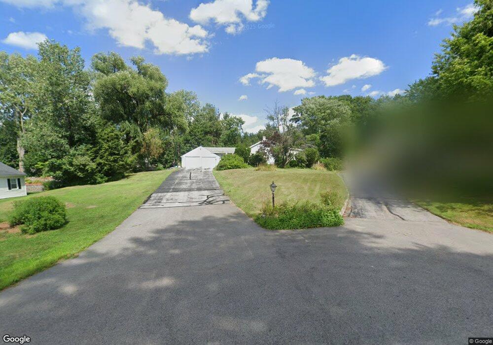
42 Main St Hooksett, NH 03106
Estimated Value: $393,000 - $432,000
2
Beds
2
Baths
1,168
Sq Ft
$351/Sq Ft
Est. Value
About This Home
This home is located at 42 Main St, Hooksett, NH 03106 and is currently estimated at $410,430, approximately $351 per square foot. 42 Main St is a home located in Merrimack County with nearby schools including Fred C. Underhill School, Hooksett Memorial School, and David R. Cawley Middle School.
Ownership History
Date
Name
Owned For
Owner Type
Purchase Details
Closed on
Mar 3, 2022
Sold by
Miville Deborah A and Miville Marc F
Bought by
Miville Ft 2022
Current Estimated Value
Purchase Details
Closed on
Feb 11, 2002
Sold by
Proulx Shelley L
Bought by
Miville Marc F and Miville Deborah A
Home Financials for this Owner
Home Financials are based on the most recent Mortgage that was taken out on this home.
Original Mortgage
$10,900
Interest Rate
7.13%
Create a Home Valuation Report for This Property
The Home Valuation Report is an in-depth analysis detailing your home's value as well as a comparison with similar homes in the area
Home Values in the Area
Average Home Value in this Area
Purchase History
| Date | Buyer | Sale Price | Title Company |
|---|---|---|---|
| Miville Ft 2022 | -- | None Available | |
| Miville Marc F | $155,900 | -- |
Source: Public Records
Mortgage History
| Date | Status | Borrower | Loan Amount |
|---|---|---|---|
| Previous Owner | Miville Marc F | $92,500 | |
| Previous Owner | Miville Marc F | $10,900 |
Source: Public Records
Tax History Compared to Growth
Tax History
| Year | Tax Paid | Tax Assessment Tax Assessment Total Assessment is a certain percentage of the fair market value that is determined by local assessors to be the total taxable value of land and additions on the property. | Land | Improvement |
|---|---|---|---|---|
| 2024 | $5,254 | $309,800 | $118,900 | $190,900 |
| 2023 | $4,979 | $311,600 | $118,900 | $192,700 |
| 2022 | $4,416 | $183,600 | $75,500 | $108,100 |
| 2021 | $4,053 | $182,400 | $75,500 | $106,900 |
| 2020 | $6,508 | $182,400 | $75,500 | $106,900 |
| 2019 | $3,931 | $182,400 | $75,500 | $106,900 |
| 2018 | $7,529 | $182,400 | $75,500 | $106,900 |
| 2017 | $3,017 | $161,300 | $71,500 | $89,800 |
| 2016 | $5,587 | $161,300 | $71,500 | $89,800 |
| 2015 | $1,196 | $161,300 | $71,500 | $89,800 |
| 2014 | $4,005 | $161,300 | $71,500 | $89,800 |
| 2013 | $3,592 | $153,000 | $71,500 | $81,500 |
Source: Public Records
Map
Nearby Homes
- 8 Short Ave
- 16 Bullard Dr
- 1601 Hooksett Rd
- 29 Dale Rd
- 2 Wedgewood Cir Unit 14
- 12 Manor Dr Unit B
- 15 Mount Saint Marys Way Unit 112
- 1821 Hooksett Rd
- 1465 Hooksett Rd Unit 287
- 1465 Hooksett Rd Unit 284
- 1465 Hooksett Rd Unit 1003
- 10 Northview Terrace
- 131 Merrimack St
- 62 Pine St
- 2 Brandywine Dr
- 5 Cross Rd
- 254 W River Rd
- 245 W River Rd
- 28 Notre Dame Ave
- 216 Hackett Hill Rd