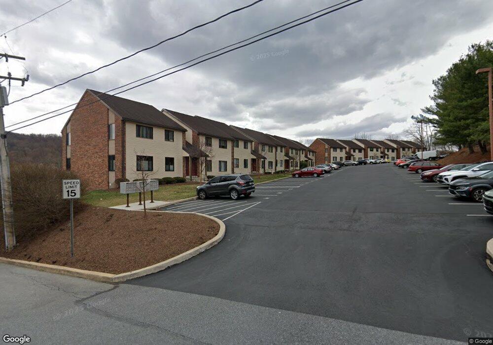
42 Maple St Unit 5F Mohnton, PA 19540
Estimated Value: $122,944 - $170,000
1
Bed
1
Bath
681
Sq Ft
$212/Sq Ft
Est. Value
About This Home
This home is located at 42 Maple St Unit 5F, Mohnton, PA 19540 and is currently estimated at $144,236, approximately $211 per square foot. 42 Maple St Unit 5F is a home located in Berks County with nearby schools including Governor Mifflin Intermediate School, Brecknock Elementary School, and Governor Mifflin Middle School.
Ownership History
Date
Name
Owned For
Owner Type
Purchase Details
Closed on
Feb 19, 2010
Sold by
Mateuszow Theodore A and Mateuszow Regina
Bought by
Katzenmoyer Kenneth W
Current Estimated Value
Purchase Details
Closed on
Oct 28, 2005
Sold by
Christman Harold F
Bought by
Mateuszow Theodore A and Mateuszow Regina
Home Financials for this Owner
Home Financials are based on the most recent Mortgage that was taken out on this home.
Original Mortgage
$47,000
Interest Rate
6.28%
Mortgage Type
Fannie Mae Freddie Mac
Create a Home Valuation Report for This Property
The Home Valuation Report is an in-depth analysis detailing your home's value as well as a comparison with similar homes in the area
Home Values in the Area
Average Home Value in this Area
Purchase History
| Date | Buyer | Sale Price | Title Company |
|---|---|---|---|
| Katzenmoyer Kenneth W | $70,000 | None Available | |
| Mateuszow Theodore A | $59,000 | None Available |
Source: Public Records
Mortgage History
| Date | Status | Borrower | Loan Amount |
|---|---|---|---|
| Previous Owner | Mateuszow Theodore A | $47,000 |
Source: Public Records
Tax History Compared to Growth
Tax History
| Year | Tax Paid | Tax Assessment Tax Assessment Total Assessment is a certain percentage of the fair market value that is determined by local assessors to be the total taxable value of land and additions on the property. | Land | Improvement |
|---|---|---|---|---|
| 2025 | $772 | $46,200 | -- | $46,200 |
| 2024 | $2,102 | $46,200 | -- | $46,200 |
| 2023 | $2,047 | $46,200 | $0 | $46,200 |
| 2022 | $1,962 | $46,200 | $0 | $46,200 |
| 2021 | $1,938 | $46,200 | $0 | $46,200 |
| 2020 | $1,938 | $46,200 | $0 | $46,200 |
| 2019 | $1,906 | $46,200 | $0 | $46,200 |
| 2018 | $1,866 | $46,200 | $0 | $46,200 |
| 2017 | $1,828 | $46,200 | $0 | $46,200 |
| 2016 | $551 | $46,200 | $0 | $46,200 |
| 2015 | $540 | $46,200 | $0 | $46,200 |
| 2014 | $528 | $46,200 | $0 | $46,200 |
Source: Public Records
Map
Nearby Homes
- 28 N Church St
- 52 W Wyomissing Ave
- 13 E Summit St
- 206 N Church St
- 26 E Mohn St
- 121 E Summit St
- 139 Hillcrest Rd
- 3 Monroe St
- 165 Hillcrest Rd
- 614 Wolfe Ln
- 18 Front St
- 120 E Wyomissing Ave
- 131 E Wyomissing Ave
- 611 Maplewood Ave
- 306 Sycamore St
- 140 S Church St
- 15 Lake St
- 836 Scenic Dr
- 665 Fairmont Ave
- 1970 Cedar Top Rd
- 42 Maple St Unit 1A
- 42 Maple St Unit 1D
- 42 Maple St Unit 5B
- 42 Maple St Unit 7A
- 42 Maple St Unit 1B
- 42 Maple St Unit 3F
- 42 Maple St Unit 2C
- 42 Maple St Unit 4B
- 42 Maple St Unit 5C
- 42 Maple St Unit 4F
- 42 Maple St Unit 5A
- 42 Maple St Unit 3C
- 42 Maple St Unit 4C
- 42 Maple St Unit 3E
- 42 Maple St Unit 3C
- 42 Maple St Unit 6C
- 42 Maple St Unit 1E
- 42 Maple St Unit 7E
- 42 Maple St Unit 7D
- 42 Maple St Unit 2E