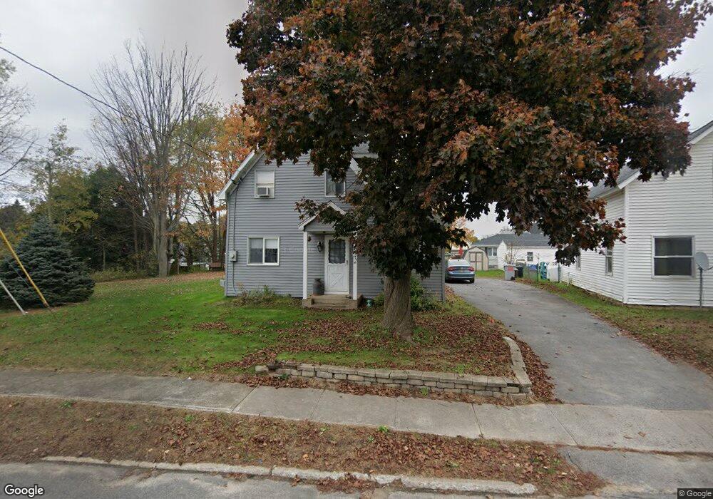
42 Maple St Morrisonville, NY 12962
Estimated Value: $168,563 - $193,000
4
Beds
1
Bath
1,284
Sq Ft
$141/Sq Ft
Est. Value
About This Home
This home is located at 42 Maple St, Morrisonville, NY 12962 and is currently estimated at $180,891, approximately $140 per square foot. 42 Maple St is a home located in Clinton County with nearby schools including Saranac High School.
Ownership History
Date
Name
Owned For
Owner Type
Purchase Details
Closed on
Feb 22, 2021
Sold by
Rocque Peter J and Rocque James M
Bought by
Rocque Peter J
Current Estimated Value
Home Financials for this Owner
Home Financials are based on the most recent Mortgage that was taken out on this home.
Original Mortgage
$70,000
Outstanding Balance
$57,151
Interest Rate
2.73%
Mortgage Type
Stand Alone Refi Refinance Of Original Loan
Estimated Equity
$123,740
Purchase Details
Closed on
Aug 5, 2014
Sold by
Rocque Claude M
Bought by
See Attached Sheet
Create a Home Valuation Report for This Property
The Home Valuation Report is an in-depth analysis detailing your home's value as well as a comparison with similar homes in the area
Home Values in the Area
Average Home Value in this Area
Purchase History
| Date | Buyer | Sale Price | Title Company |
|---|---|---|---|
| Rocque Peter J | -- | None Available | |
| See Attached Sheet | -- | Joseph Lavorando | |
| See Attached Sheet | -- | Joseph Lavorando |
Source: Public Records
Mortgage History
| Date | Status | Borrower | Loan Amount |
|---|---|---|---|
| Open | Rocque Peter J | $70,000 |
Source: Public Records
Tax History Compared to Growth
Tax History
| Year | Tax Paid | Tax Assessment Tax Assessment Total Assessment is a certain percentage of the fair market value that is determined by local assessors to be the total taxable value of land and additions on the property. | Land | Improvement |
|---|---|---|---|---|
| 2024 | $2,854 | $91,400 | $11,400 | $80,000 |
| 2023 | $2,807 | $91,400 | $11,400 | $80,000 |
| 2022 | $2,791 | $91,400 | $11,400 | $80,000 |
| 2021 | $2,706 | $91,400 | $11,400 | $80,000 |
| 2020 | $1,344 | $91,400 | $11,400 | $80,000 |
| 2019 | $1,234 | $91,400 | $20,100 | $71,300 |
| 2018 | $1,234 | $91,400 | $20,100 | $71,300 |
| 2017 | $938 | $82,000 | $20,100 | $61,900 |
| 2016 | $961 | $82,000 | $20,100 | $61,900 |
| 2015 | -- | $82,000 | $20,100 | $61,900 |
| 2014 | -- | $82,000 | $12,100 | $69,900 |
Source: Public Records
Map
Nearby Homes
- 44 Maple St
- 40 Maple St
- 46 Maple St
- 16 Church St
- 1910 State Route 22b
- 41 Maple St
- 1914 State Route 22b
- 14 Church St
- 39 Maple St
- 1918 State Route 22b
- 10 Church St
- 37 Maple St
- 1920 New York 22b
- 1920 State Route 22b
- 15 Church St
- 35 Maple St
- 8 Church St
- 1924 State Route 22b
- 1911 State Route 22b
- 1907 State Route 22b