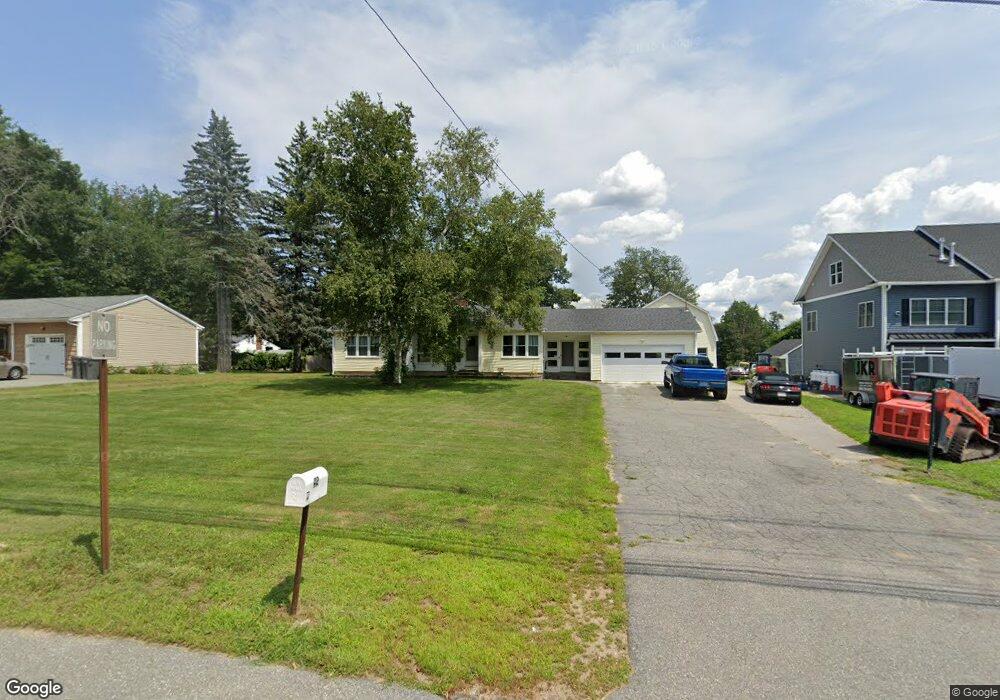
42 N Policy St Salem, NH 03079
Depot Village NeighborhoodEstimated Value: $634,000 - $704,000
3
Beds
3
Baths
1,793
Sq Ft
$367/Sq Ft
Est. Value
About This Home
This home is located at 42 N Policy St, Salem, NH 03079 and is currently estimated at $658,638, approximately $367 per square foot. 42 N Policy St is a home located in Rockingham County with nearby schools including Mary A. Fisk Elementary School, Woodbury School, and Salem High School.
Ownership History
Date
Name
Owned For
Owner Type
Purchase Details
Closed on
Jul 6, 2022
Sold by
Hersey Robert A
Bought by
Robert A Hersey Ret and Hersey
Current Estimated Value
Purchase Details
Closed on
Feb 24, 2015
Sold by
Calderone Peter R and Calderone Barbara L
Bought by
Bayview Loan Svcing Llc
Purchase Details
Closed on
Mar 29, 2013
Sold by
Hersey Ret and Johnson Kathy
Bought by
Hersey Robert A
Create a Home Valuation Report for This Property
The Home Valuation Report is an in-depth analysis detailing your home's value as well as a comparison with similar homes in the area
Home Values in the Area
Average Home Value in this Area
Purchase History
| Date | Buyer | Sale Price | Title Company |
|---|---|---|---|
| Robert A Hersey Ret | -- | None Available | |
| Bayview Loan Svcing Llc | $289,333 | -- | |
| Bayview Loan Svcing Llc | $289,333 | -- | |
| Hersey Robert A | $252,900 | -- | |
| Hersey Robert A | $252,900 | -- |
Source: Public Records
Mortgage History
| Date | Status | Borrower | Loan Amount |
|---|---|---|---|
| Closed | Hersey Robert A | $0 |
Source: Public Records
Tax History Compared to Growth
Tax History
| Year | Tax Paid | Tax Assessment Tax Assessment Total Assessment is a certain percentage of the fair market value that is determined by local assessors to be the total taxable value of land and additions on the property. | Land | Improvement |
|---|---|---|---|---|
| 2024 | $8,159 | $463,600 | $182,400 | $281,200 |
| 2023 | $7,863 | $463,600 | $182,400 | $281,200 |
| 2022 | $7,441 | $463,600 | $182,400 | $281,200 |
| 2021 | $7,408 | $463,600 | $182,400 | $281,200 |
| 2020 | $7,192 | $326,600 | $130,400 | $196,200 |
| 2019 | $7,179 | $326,600 | $130,400 | $196,200 |
| 2018 | $7,058 | $326,600 | $130,400 | $196,200 |
| 2017 | $6,806 | $326,600 | $130,400 | $196,200 |
| 2016 | $6,672 | $326,600 | $130,400 | $196,200 |
| 2015 | $6,432 | $300,700 | $128,900 | $171,800 |
| 2014 | $6,252 | $300,700 | $128,900 | $171,800 |
| 2013 | $6,152 | $300,700 | $128,900 | $171,800 |
Source: Public Records
Map
Nearby Homes
- 40 N Policy St
- 44 N Policy St
- 3 Betty Lee Terrace
- 5 Lucille Ave
- 3 Lucille Ave
- 7 Lucille Ave
- 48 N Policy St
- 9 Veronica Ave
- 4 Betty Lee Terrace
- 4 Veronica Ave
- 8 Lucille Ave
- 6 Veronica Ave
- 50 N Policy St
- 39 N Policy St
- 11 Lucille Ave
- 37 N Policy St
- 10 Lucille Ave
- 41 N Policy St
- 2 Peggy Ln
- 41 N Policy St