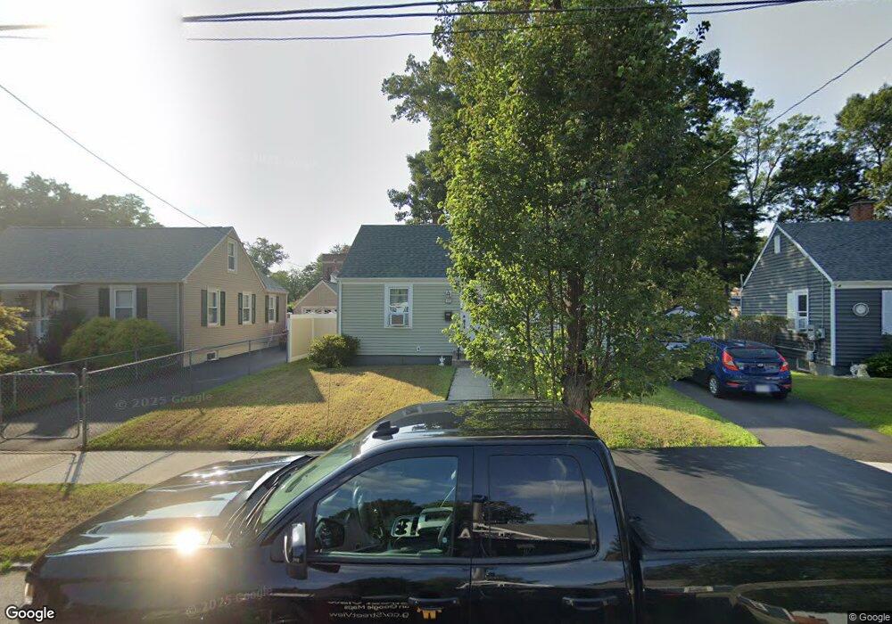
42 Parkin St Springfield, MA 01104
Liberty Heights NeighborhoodEstimated Value: $228,000 - $275,000
2
Beds
1
Bath
744
Sq Ft
$325/Sq Ft
Est. Value
About This Home
This home is located at 42 Parkin St, Springfield, MA 01104 and is currently estimated at $241,557, approximately $324 per square foot. 42 Parkin St is a home located in Hampden County with nearby schools including Glenwood School, Van Sickle Academy, and High School Of Commerce.
Ownership History
Date
Name
Owned For
Owner Type
Purchase Details
Closed on
Jan 2, 2025
Sold by
Michaud-Giroux Denise J
Bought by
Reid Kristen M and Giroux Walter D
Current Estimated Value
Purchase Details
Closed on
Jul 6, 1999
Sold by
Perrella Bridget E
Bought by
Giroux Denise J
Home Financials for this Owner
Home Financials are based on the most recent Mortgage that was taken out on this home.
Original Mortgage
$59,969
Interest Rate
7.19%
Mortgage Type
Purchase Money Mortgage
Purchase Details
Closed on
Dec 30, 1994
Sold by
Dudley Joan T and Luppi Thomas A
Bought by
Perrella Bridget E
Home Financials for this Owner
Home Financials are based on the most recent Mortgage that was taken out on this home.
Original Mortgage
$50,100
Interest Rate
9.2%
Mortgage Type
Purchase Money Mortgage
Create a Home Valuation Report for This Property
The Home Valuation Report is an in-depth analysis detailing your home's value as well as a comparison with similar homes in the area
Home Values in the Area
Average Home Value in this Area
Purchase History
| Date | Buyer | Sale Price | Title Company |
|---|---|---|---|
| Reid Kristen M | -- | None Available | |
| Reid Kristen M | -- | None Available | |
| Giroux Denise J | $59,000 | -- | |
| Perrella Bridget E | $59,000 | -- | |
| Giroux Denise J | $59,000 | -- | |
| Perrella Bridget E | $59,000 | -- |
Source: Public Records
Mortgage History
| Date | Status | Borrower | Loan Amount |
|---|---|---|---|
| Previous Owner | Perrella Bridget E | $10,000 | |
| Previous Owner | Perrella Bridget E | $59,969 | |
| Previous Owner | Perrella Bridget E | $50,100 |
Source: Public Records
Tax History
| Year | Tax Paid | Tax Assessment Tax Assessment Total Assessment is a certain percentage of the fair market value that is determined by local assessors to be the total taxable value of land and additions on the property. | Land | Improvement |
|---|---|---|---|---|
| 2025 | $3,028 | $193,100 | $38,800 | $154,300 |
| 2024 | $2,619 | $163,100 | $38,800 | $124,300 |
| 2023 | $2,534 | $148,600 | $34,300 | $114,300 |
| 2022 | $2,535 | $134,700 | $32,100 | $102,600 |
| 2021 | $2,283 | $120,800 | $29,200 | $91,600 |
| 2020 | $2,267 | $116,100 | $29,200 | $86,900 |
| 2019 | $2,053 | $104,300 | $31,700 | $72,600 |
| 2018 | $2,049 | $104,100 | $31,700 | $72,400 |
| 2017 | $1,988 | $101,100 | $28,700 | $72,400 |
| 2016 | $1,927 | $98,000 | $27,200 | $70,800 |
| 2015 | $1,831 | $93,100 | $27,200 | $65,900 |
Source: Public Records
Map
Nearby Homes
- 1078 Liberty St
- 491-493 Newbury St
- 118 Wait St
- 121 Wait St
- 744-746 Carew St
- 708-710 Carew St
- 27 Parallel St
- 774-776 Liberty St
- 61 Abbey Memorial Dr Unit 153
- 59 Piedmont St
- 119 Littleton St
- 571-573 Carew St
- 2 Marion St
- 211-213 Chapin Terrace
- Lot 1 Marion St
- 24 Melha Ave
- 9 Utica St
- 248 Hampden St
- 49 Upland St
- 52 Vadnais St
- 46 Parkin St
- 36 Parkin St
- 32 Parkin St
- 187 Connecticut Ave
- 179 Connecticut Ave
- 26 Parkin St
- 39 Parkin St
- 27 Morison Terrace
- 199 Connecticut Ave
- 45 Parkin St
- 20 Parkin St
- 21 Morison Terrace
- 29 Parkin St
- 203 Connecticut Ave
- 25 Parkin St
- 14 Parkin St
- 15 Morison Terrace
- 209 Connecticut Ave
- 7 Morison Terrace
- 215 Connecticut Ave
Your Personal Tour Guide
Ask me questions while you tour the home.