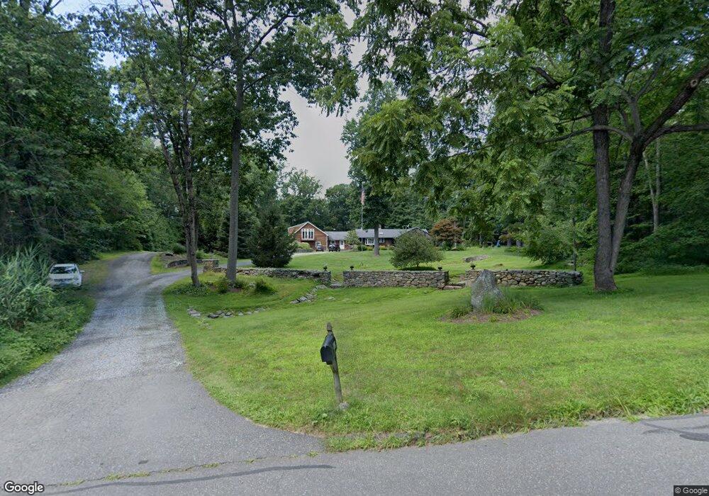
42 Pheasant Ridge Rd Redding, CT 06896
Estimated Value: $958,245 - $1,223,000
3
Beds
2
Baths
3,364
Sq Ft
$320/Sq Ft
Est. Value
About This Home
This home is located at 42 Pheasant Ridge Rd, Redding, CT 06896 and is currently estimated at $1,076,311, approximately $319 per square foot. 42 Pheasant Ridge Rd is a home located in Fairfield County with nearby schools including Redding Elementary School, John Read Middle School, and Joel Barlow High School.
Ownership History
Date
Name
Owned For
Owner Type
Purchase Details
Closed on
Oct 11, 1996
Sold by
Bamundo Annette and Bamundo Paul
Bought by
Peterson Suzanne L and Peterson Scott R
Current Estimated Value
Create a Home Valuation Report for This Property
The Home Valuation Report is an in-depth analysis detailing your home's value as well as a comparison with similar homes in the area
Home Values in the Area
Average Home Value in this Area
Purchase History
| Date | Buyer | Sale Price | Title Company |
|---|---|---|---|
| Peterson Suzanne L | $233,500 | -- |
Source: Public Records
Mortgage History
| Date | Status | Borrower | Loan Amount |
|---|---|---|---|
| Open | Peterson Suzanne L | $42,600 | |
| Open | Peterson Suzanne L | $490,000 | |
| Closed | Peterson Suzanne L | $450,000 | |
| Closed | Peterson Suzanne L | $345,000 |
Source: Public Records
Tax History
| Year | Tax Paid | Tax Assessment Tax Assessment Total Assessment is a certain percentage of the fair market value that is determined by local assessors to be the total taxable value of land and additions on the property. | Land | Improvement |
|---|---|---|---|---|
| 2025 | $14,708 | $497,900 | $144,300 | $353,600 |
| 2024 | $14,300 | $497,900 | $144,300 | $353,600 |
| 2023 | $13,787 | $497,900 | $144,300 | $353,600 |
| 2022 | $12,082 | $362,400 | $155,500 | $206,900 |
| 2021 | $24,633 | $364,600 | $155,500 | $209,100 |
| 2020 | $11,973 | $364,600 | $155,500 | $209,100 |
| 2019 | $11,973 | $364,600 | $155,500 | $209,100 |
| 2018 | $11,565 | $364,600 | $155,500 | $209,100 |
| 2017 | $9,846 | $332,400 | $155,900 | $176,500 |
| 2016 | $9,719 | $332,400 | $155,900 | $176,500 |
| 2015 | $9,610 | $332,400 | $155,900 | $176,500 |
| 2014 | $9,610 | $332,400 | $155,900 | $176,500 |
Source: Public Records
Map
Nearby Homes
- 28 Sunnyview Dr
- 138 Putnam Park Rd
- 193 Chestnut Ridge Rd
- 2 Longwood Dr
- 241 Black Rock Turnpike
- 173 Chestnut Ridge Rd
- 4 Stone Dam Rd
- 41 Sullivan Dr
- 6 Katrina Cir
- 9 Katrina Cir
- 6 Vona Way
- 24 Costa Ln
- 40 Towns End Rd
- lot5B Nicolina Way
- 7 Long Meadow Ln
- 9 Nicolina Way
- 9A Oak Ridge Dr
- 41 Turkey Plain Rd
- 18 Sebastian Tr
- 134 Nashville Rd
- 46 Pheasant Ridge Rd
- 32 Wood Rd
- 44 Pheasant Ridge Rd
- 40 Pheasant Ridge Rd
- 30 Wood Rd
- 39 Pheasant Ridge Rd
- 48 Pheasant Ridge Rd
- 52 Pheasant Ridge Rd
- 38 Pheasant Ridge Rd
- 50 Pheasant Ridge Rd
- 34 Wood Rd
- 51 Pheasant Ridge Rd
- 28 Wood Rd
- 33 Pheasant Ridge Rd
- 56 Pheasant Ridge Rd
- 22 Wood Rd
- 31 Wood Rd
- 44 Wood Rd
- 32 Pheasant Ridge Rd
- 24 Wood Rd
Your Personal Tour Guide
Ask me questions while you tour the home.