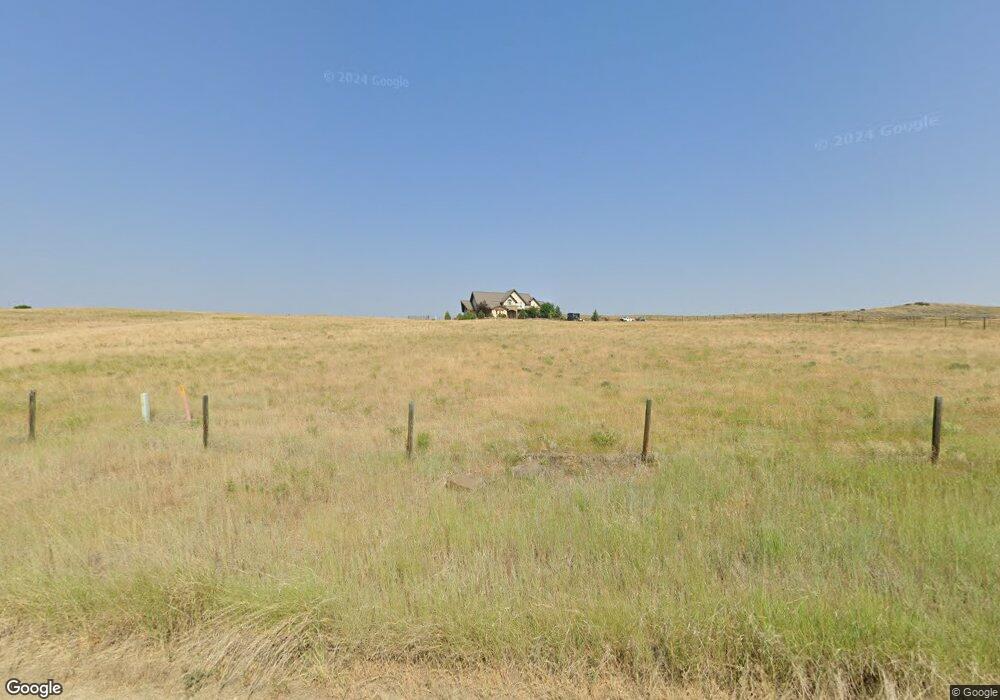
42 Plenty Coups Rd Absarokee, MT 59001
Estimated Value: $674,000 - $965,521
3
Beds
6
Baths
4,579
Sq Ft
$185/Sq Ft
Est. Value
About This Home
This home is located at 42 Plenty Coups Rd, Absarokee, MT 59001 and is currently estimated at $846,840, approximately $184 per square foot. 42 Plenty Coups Rd is a home located in Stillwater County with nearby schools including Absarokee School, Absarokee Junior High School, and Absarokee High School.
Ownership History
Date
Name
Owned For
Owner Type
Purchase Details
Closed on
Oct 17, 2007
Sold by
Kynast Stephen B and Kynast Kim L
Bought by
Beckman Irwin and Beckman Kay
Current Estimated Value
Home Financials for this Owner
Home Financials are based on the most recent Mortgage that was taken out on this home.
Original Mortgage
$546,200
Outstanding Balance
$344,727
Interest Rate
6.42%
Estimated Equity
$502,113
Purchase Details
Closed on
Jan 12, 2007
Sold by
Crow Chief Meadows Inc
Bought by
Kynast Stephen B and Kynast Kim L
Create a Home Valuation Report for This Property
The Home Valuation Report is an in-depth analysis detailing your home's value as well as a comparison with similar homes in the area
Home Values in the Area
Average Home Value in this Area
Purchase History
| Date | Buyer | Sale Price | Title Company |
|---|---|---|---|
| Beckman Irwin | -- | -- | |
| Kynast Stephen B | -- | -- |
Source: Public Records
Mortgage History
| Date | Status | Borrower | Loan Amount |
|---|---|---|---|
| Open | Beckman Irwin | $546,200 |
Source: Public Records
Tax History Compared to Growth
Tax History
| Year | Tax Paid | Tax Assessment Tax Assessment Total Assessment is a certain percentage of the fair market value that is determined by local assessors to be the total taxable value of land and additions on the property. | Land | Improvement |
|---|---|---|---|---|
| 2025 | $4,592 | $1,165,946 | $0 | $0 |
| 2024 | $3,695 | $641,900 | $0 | $0 |
| 2023 | $3,655 | $641,900 | $0 | $0 |
| 2022 | $3,207 | $512,000 | $0 | $0 |
| 2021 | $3,037 | $512,000 | $0 | $0 |
| 2020 | $3,169 | $599,000 | $0 | $0 |
| 2019 | $3,832 | $599,000 | $0 | $0 |
| 2018 | $4,964 | $734,509 | $0 | $0 |
| 2017 | $4,629 | $729,699 | $0 | $0 |
| 2016 | $6,580 | $1,010,493 | $0 | $0 |
| 2015 | $5,875 | $943,700 | $0 | $0 |
| 2014 | $4,847 | $412,499 | $0 | $0 |
Source: Public Records
Map
Nearby Homes
- 20 Crow Child Trail
- 2994 Highway 78
- 221 W School St
- 2825 & 2830 Highway 78 S
- A Johnson Dr Unit A
- 10 S Woodard Ave
- 12 Avis St
- 1243 Stillwater River Rd Unit A
- 47 Lower Hawk Valley Rd
- 91 Upper Hawk Valley Rd
- 20-21 Turkey Creek Dr
- 20 Turkey Creek Dr
- 1258 Stillwater River Rd Unit 6
- 1258 Stillwater River Rd Unit 4
- 37 Barham Rd
- HWY 78 Parcel 1
- 79 Meyers Rd
- 79 Myers Rd
- TBD Brumfield RD Brumfield Rd
- Lot 56 Hearts & Diamonds 2
- 44 Plenty Coups Rd
- 43 Plenty Coups Rd
- 39 Plenty Coups Rd
- 34 Crow Child Trail
- 42 Crow Child Trail
- 40 Crow Child Trail
- 32 Crow Child Trail
- 3 Woman Chief Cir
- 44 Crow Child Trail
- 171 Mason Rd
- 31 Crow Child Trail
- 35 Crow Child Trail
- 41 Crow Child Trail
- LOT 65 Women Chief Cir
- LOT 63 Woman Chief Cir
- 28 Crow Child Trail
- 26 Crow Child Trail
- 27 Crow Child Trail
- LOT 51 Woman Chief Cir
- LOT 51 Women Chief Cir