42 Plum Tree Ln Greenfield, MA 01301
Estimated Value: $427,176 - $497,000
4
Beds
3
Baths
1,771
Sq Ft
$264/Sq Ft
Est. Value
About This Home
This home is located at 42 Plum Tree Ln, Greenfield, MA 01301 and is currently estimated at $467,544, approximately $264 per square foot. 42 Plum Tree Ln is a home located in Franklin County with nearby schools including Four Rivers Charter Public School, Cornerstone Christian School, and Holy Trinity School.
Ownership History
Date
Name
Owned For
Owner Type
Purchase Details
Closed on
May 30, 2018
Sold by
Zraunig Robert R and Zraunig Muriel A
Bought by
Zraunig Matthew R and Zraunig Tara M
Current Estimated Value
Purchase Details
Closed on
Sep 2, 1986
Bought by
Zraunig Robert R and Zraunig Muriel A
Create a Home Valuation Report for This Property
The Home Valuation Report is an in-depth analysis detailing your home's value as well as a comparison with similar homes in the area
Home Values in the Area
Average Home Value in this Area
Purchase History
| Date | Buyer | Sale Price | Title Company |
|---|---|---|---|
| Zraunig Matthew R | -- | -- | |
| Zraunig Matthew R | -- | -- | |
| Zraunig Robert R | $147,000 | -- |
Source: Public Records
Mortgage History
| Date | Status | Borrower | Loan Amount |
|---|---|---|---|
| Previous Owner | Zraunig Robert R | $240,000 | |
| Previous Owner | Zraunig Robert R | $60,000 | |
| Previous Owner | Zraunig Robert R | $256,500 |
Source: Public Records
Tax History Compared to Growth
Tax History
| Year | Tax Paid | Tax Assessment Tax Assessment Total Assessment is a certain percentage of the fair market value that is determined by local assessors to be the total taxable value of land and additions on the property. | Land | Improvement |
|---|---|---|---|---|
| 2025 | $7,460 | $381,400 | $89,000 | $292,400 |
| 2024 | $7,650 | $375,200 | $80,900 | $294,300 |
| 2023 | $6,887 | $350,500 | $80,900 | $269,600 |
| 2022 | $6,437 | $288,400 | $73,400 | $215,000 |
| 2021 | $6,163 | $265,400 | $76,700 | $188,700 |
| 2020 | $5,962 | $260,000 | $76,700 | $183,300 |
| 2019 | $5,617 | $251,200 | $66,800 | $184,400 |
| 2018 | $5,576 | $248,600 | $65,300 | $183,300 |
| 2017 | $5,402 | $248,600 | $65,300 | $183,300 |
| 2016 | $5,374 | $246,400 | $62,400 | $184,000 |
| 2015 | $5,459 | $242,500 | $62,400 | $180,100 |
| 2014 | $4,974 | $242,300 | $62,400 | $179,900 |
Source: Public Records
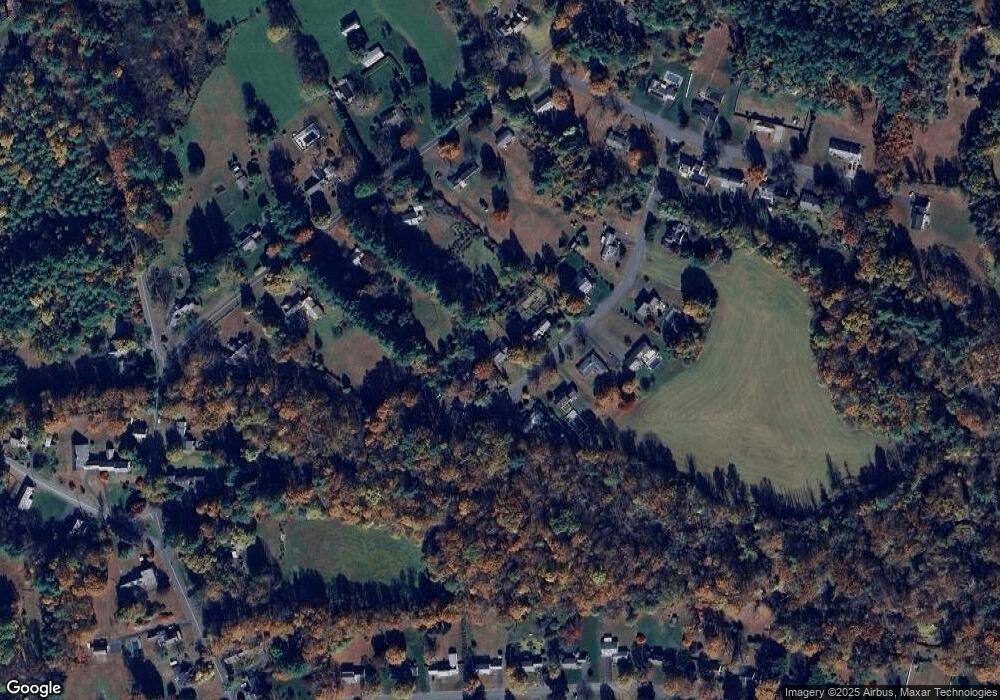
Map
Nearby Homes
- 151 Smead Hill Rd
- 187 Plain Rd
- 27 Lunt Dr
- 0 Pickett Ln
- 104 Leyden Rd
- 4 Pickett Ln
- 24 Cypress St
- 22 Princeton Terrace Unit 22
- 0 Fiske Mill Rd
- 23-25 Alden St
- 311 Chapman St
- 414 Mohawk Trail
- 6 Keegan Ln Unit E
- 306 Davis St
- 116-120 Elm St
- 192 Wells St
- 35-37 Shattuck St
- 35 Shattuck St Unit 37
- 254 Davis St
- 34 Brookside Ave
- 46 Plum Tree Ln
- 34 Plum Tree Ln
- 50 Plum Tree Ln
- 41 Plum Tree Ln
- 45 Plum Tree Ln
- 27 Plum Tree Ln
- 30 Plum Tree Ln
- 25 Plum Tree Ln
- 23 Plum Tree Ln
- 20 Plum Tree Ln
- 69 Green River Rd
- 57 Green River Rd
- 75 Green River Rd
- 47 Green River Rd
- 89 Green River Rd
- 11 Plum Tree Ln
- 95 Green River Rd
- 18 Mary Potter Ln
- 26 Mary Potter Ln
- 76 Green River Rd