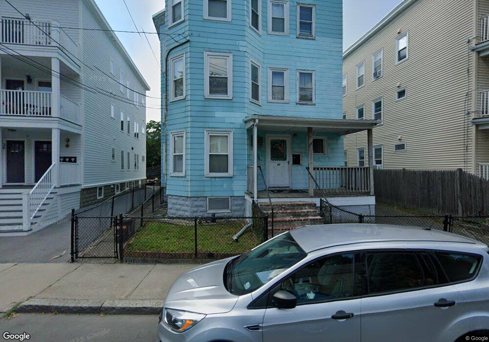
42 Radcliffe Rd Somerville, MA 02145
Winter Hill NeighborhoodEstimated Value: $997,000 - $1,293,000
6
Beds
3
Baths
3,659
Sq Ft
$315/Sq Ft
Est. Value
About This Home
This home is located at 42 Radcliffe Rd, Somerville, MA 02145 and is currently estimated at $1,152,667, approximately $315 per square foot. 42 Radcliffe Rd is a home located in Middlesex County with nearby schools including Somerville High School and Bright Future Educare Center.
Ownership History
Date
Name
Owned For
Owner Type
Purchase Details
Closed on
Aug 3, 2018
Sold by
Martignetti Anna
Bought by
Martignetti Anthony F
Current Estimated Value
Purchase Details
Closed on
Oct 30, 2017
Sold by
Anthony Rocco Irt
Bought by
Martignetti Anthony
Purchase Details
Closed on
Sep 26, 2016
Sold by
Rocco Anthony
Bought by
Anthony Rocco Irt
Create a Home Valuation Report for This Property
The Home Valuation Report is an in-depth analysis detailing your home's value as well as a comparison with similar homes in the area
Home Values in the Area
Average Home Value in this Area
Purchase History
| Date | Buyer | Sale Price | Title Company |
|---|---|---|---|
| Martignetti Anthony F | $300,000 | -- | |
| Martignetti Anthony | $300,000 | -- | |
| Anthony Rocco Irt | -- | -- |
Source: Public Records
Tax History
| Year | Tax Paid | Tax Assessment Tax Assessment Total Assessment is a certain percentage of the fair market value that is determined by local assessors to be the total taxable value of land and additions on the property. | Land | Improvement |
|---|---|---|---|---|
| 2025 | $9,985 | $915,200 | $371,500 | $543,700 |
| 2024 | $9,378 | $891,400 | $371,500 | $519,900 |
| 2023 | $9,155 | $885,400 | $371,500 | $513,900 |
| 2022 | $8,732 | $857,800 | $353,800 | $504,000 |
| 2021 | $8,387 | $823,100 | $336,900 | $486,200 |
| 2020 | $9,709 | $962,200 | $324,000 | $638,200 |
| 2019 | $8,985 | $835,000 | $275,000 | $560,000 |
| 2018 | $4,816 | $676,900 | $265,300 | $411,600 |
| 2017 | $7,092 | $607,700 | $247,400 | $360,300 |
| 2016 | $6,592 | $526,100 | $213,900 | $312,200 |
| 2015 | $6,039 | $478,900 | $190,700 | $288,200 |
Source: Public Records
Map
Nearby Homes
- 7 Stickney Ave
- 185 School St
- 232 Pearl St
- 13 Richdale Ave Unit 2
- 12 Montgomery Ave
- 400 Possum Run
- 59 Dartmouth St Unit A
- 28 Highland Ave Unit 3
- 74 Gilman St Unit 1
- 176-182 Broadway
- 36 Everett Ave
- 115 Thurston St Unit I
- 11 Macarthur St Unit B
- 11 Macarthur St Unit A
- 49 Tennyson St Unit 1
- 49 Tennyson St Unit 2
- 49 Tennyson St
- 124 Highland Ave Unit 204
- 19 Everett Ave
- 21 Berkeley St
- 44 Radcliffe Rd
- 44 Radcliffe Rd Unit 1
- 44 Radcliffe Rd Unit 2
- 44 Radcliffe Rd Unit 3
- 36 Radcliffe Rd
- 38 Radcliffe Rd Unit 3
- 36 Radcliffe Rd Unit 3
- 36 Radcliffe Rd Unit 2
- 36 Radcliffe Rd Unit 1
- 78 Marshall St
- 78 Marshall St Unit 3
- 34 Radcliffe Rd
- 82 Marshall St
- 32 Radcliffe Rd
- 32 Radcliffe Rd Unit 1
- 32 Radcliffe Rd Unit 2/3
- 32 Radcliffe Rd Unit 2
- 72 Marshall St
- 72 Marshall St Unit 2F
- 35 Radcliffe Rd