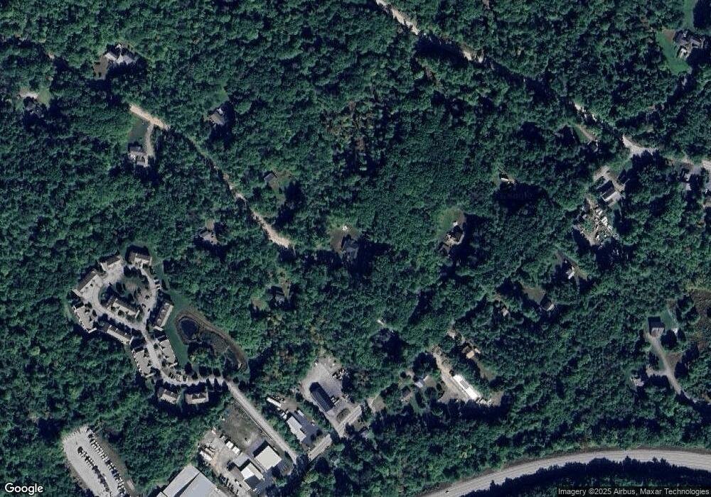
42 Robin Way Meredith, NH 03253
Estimated Value: $507,000 - $707,000
3
Beds
2
Baths
1,664
Sq Ft
$371/Sq Ft
Est. Value
About This Home
This home is located at 42 Robin Way, Meredith, NH 03253 and is currently estimated at $617,889, approximately $371 per square foot. 42 Robin Way is a home with nearby schools including Inter-Lakes Elementary School, Sandwich Central School, and Inter-Lakes Middle High School.
Ownership History
Date
Name
Owned For
Owner Type
Purchase Details
Closed on
May 29, 2025
Sold by
Sleeper Terrence W and Sleeper Cathleen M
Bought by
Terrence W W and Terrence Sleeper C
Current Estimated Value
Purchase Details
Closed on
Oct 31, 2018
Sold by
Laprade William J and Laprade June E
Bought by
Sleeper Terrence W and Sleeper Cathleen M
Purchase Details
Closed on
Dec 15, 2014
Sold by
Mohl Raymond A and Dong Sai Sai
Bought by
Laprade William and Laprade June
Purchase Details
Closed on
Dec 22, 2005
Sold by
Rost Bradford E
Bought by
Mohl Raymond A
Create a Home Valuation Report for This Property
The Home Valuation Report is an in-depth analysis detailing your home's value as well as a comparison with similar homes in the area
Home Values in the Area
Average Home Value in this Area
Purchase History
| Date | Buyer | Sale Price | Title Company |
|---|---|---|---|
| Terrence W W | -- | None Available | |
| Terrence W W | -- | None Available | |
| Sleeper Terrence W | $84,933 | -- | |
| Sleeper Terrence W | $84,933 | -- | |
| Laprade William | $58,000 | -- | |
| Laprade William | $58,000 | -- | |
| Mohl Raymond A | $90,000 | -- | |
| Mohl Raymond A | $90,000 | -- |
Source: Public Records
Tax History
| Year | Tax Paid | Tax Assessment Tax Assessment Total Assessment is a certain percentage of the fair market value that is determined by local assessors to be the total taxable value of land and additions on the property. | Land | Improvement |
|---|---|---|---|---|
| 2024 | $5,371 | $523,500 | $191,700 | $331,800 |
| 2023 | $5,131 | $518,800 | $191,700 | $327,100 |
| 2022 | $5,061 | $362,300 | $113,300 | $249,000 |
| 2021 | $4,698 | $349,800 | $113,300 | $236,500 |
| 2020 | $1,232 | $87,900 | $87,900 | $0 |
| 2019 | $945 | $59,500 | $59,500 | $0 |
| 2018 | $929 | $59,500 | $59,500 | $0 |
| 2016 | $1,087 | $69,700 | $69,700 | $0 |
| 2015 | $1,059 | $69,700 | $69,700 | $0 |
| 2014 | $1,034 | $69,700 | $69,700 | $0 |
| 2013 | $1,004 | $69,700 | $69,700 | $0 |
Source: Public Records
Map
Nearby Homes
- 2 Namak Way
- 57 Winona Rd
- 34-35-36 Commerce Ct
- 47 Clover Ridge Rd
- 5 Clover Ridge Rd
- Lot 3 Winona Rd
- Lot 1 Winona Rd
- Lot 2 Winona Rd
- Lot 4 Winona Rd
- 21 Upper Ladd Hill Rd Unit D
- 21 Upper Ladd Hill Rd Unit A
- 21 Upper Ladd Hill Rd Unit E
- 21 Upper Ladd Hill Rd Unit C
- 21 Upper Ladd Hill Rd Unit B
- 2 Waukewan Ave
- 70 Hatch Corner Rd
- 8 Water St Unit 2
- 27 Stevens Ave Unit D
- 18 Hickorywood Cir
- 48 Waukewan Rd
Your Personal Tour Guide
Ask me questions while you tour the home.
