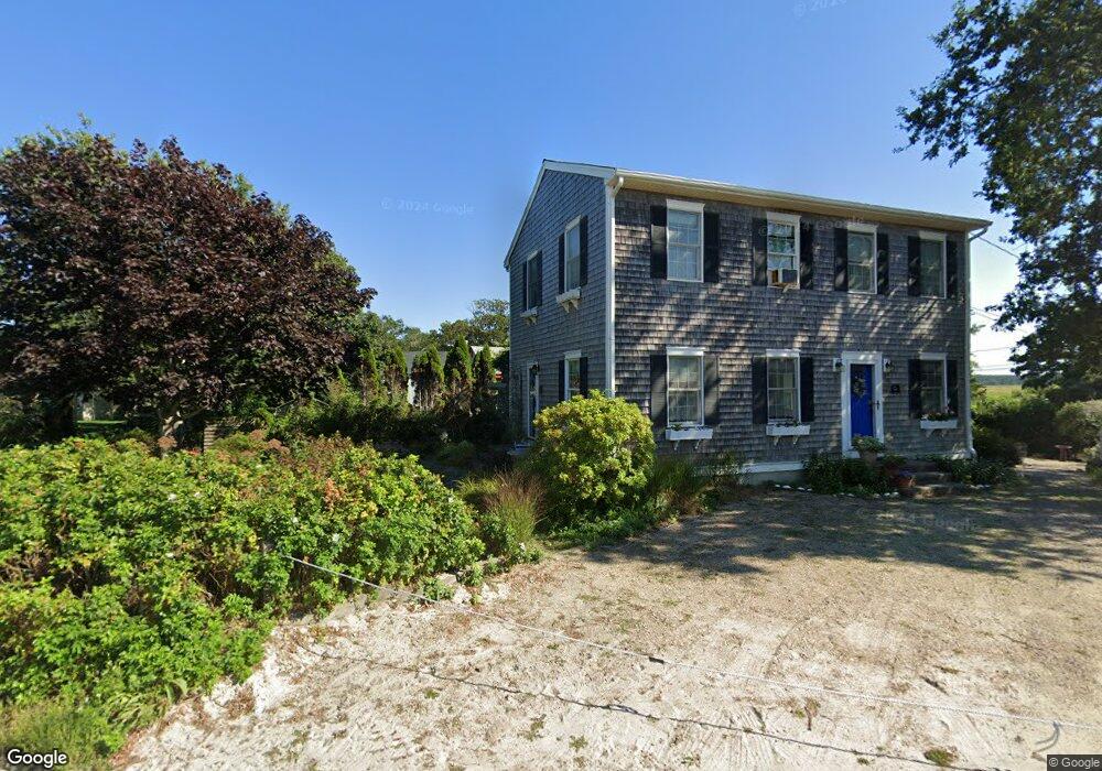
42 Rodoalphs Way Dennis, MA 02638
Dennis Village NeighborhoodEstimated Value: $831,000 - $1,192,000
3
Beds
2
Baths
800
Sq Ft
$1,273/Sq Ft
Est. Value
About This Home
This home is located at 42 Rodoalphs Way, Dennis, MA 02638 and is currently estimated at $1,018,140, approximately $1,272 per square foot. 42 Rodoalphs Way is a home located in Barnstable County with nearby schools including Dennis-Yarmouth Regional High School.
Ownership History
Date
Name
Owned For
Owner Type
Purchase Details
Closed on
Dec 1, 2003
Sold by
Ruscitti Elena S
Bought by
Dornback Donald L and Dornback Josie
Current Estimated Value
Home Financials for this Owner
Home Financials are based on the most recent Mortgage that was taken out on this home.
Original Mortgage
$150,000
Outstanding Balance
$70,525
Interest Rate
6.09%
Mortgage Type
Purchase Money Mortgage
Estimated Equity
$947,615
Create a Home Valuation Report for This Property
The Home Valuation Report is an in-depth analysis detailing your home's value as well as a comparison with similar homes in the area
Home Values in the Area
Average Home Value in this Area
Purchase History
| Date | Buyer | Sale Price | Title Company |
|---|---|---|---|
| Dornback Donald L | $200,000 | -- |
Source: Public Records
Mortgage History
| Date | Status | Borrower | Loan Amount |
|---|---|---|---|
| Open | Dornback Donald L | $150,000 |
Source: Public Records
Tax History Compared to Growth
Tax History
| Year | Tax Paid | Tax Assessment Tax Assessment Total Assessment is a certain percentage of the fair market value that is determined by local assessors to be the total taxable value of land and additions on the property. | Land | Improvement |
|---|---|---|---|---|
| 2025 | $4,097 | $946,300 | $658,500 | $287,800 |
| 2024 | $3,926 | $894,300 | $633,300 | $261,000 |
| 2023 | $3,435 | $735,500 | $498,200 | $237,300 |
| 2022 | $3,493 | $623,700 | $448,800 | $174,900 |
| 2021 | $3,517 | $583,300 | $440,000 | $143,300 |
| 2020 | $3,358 | $550,500 | $420,400 | $130,100 |
| 2019 | $19,186 | $462,600 | $345,100 | $117,500 |
| 2018 | $18,938 | $435,500 | $328,500 | $107,000 |
| 2017 | $2,659 | $432,300 | $328,600 | $103,700 |
| 2016 | $2,712 | $415,300 | $328,600 | $86,700 |
| 2015 | $2,658 | $415,300 | $328,600 | $86,700 |
| 2014 | $2,318 | $365,100 | $278,400 | $86,700 |
Source: Public Records
Map
Nearby Homes
- 7 Collins Ave
- 49 Rodoalph's Way
- 4 Spadoni Rd
- 4 Spadoni Way
- 94 Horsefoot Path
- 69 Horsefoot Path
- 25 Horsefoot Path
- 12 Dunes View Rd
- 156 Shore Dr
- 96 Shore Dr
- 37 Johnson Ln
- 7 Dolphin Way
- 73 Pilgrim Rd
- 19 Whig St
- 59 Hope Ln
- 19 Deacon Joseph Ln
- 645 Main St Back Lot
- 50 John Hall Cartway
- 50 John Hall Cartway Unit 50
- 30 W Woods
- 109 Taunton Ave
- 38 Rodoalphs Way
- 36 Rodoalphs Way
- 93 Taunton Ave
- 47 Rodoalphs Way
- 111 Taunton Ave
- 39 Rodoalphs Way
- 34 Rodoalphs Way
- 49 Rodoalphs Way
- 115 Taunton Ave
- 118 Taunton Ave
- 87 Taunton Ave
- 30 Rodoalphs Way
- 104 Taunton Ave
- 122 Taunton Ave
- 110 Taunton Ave
- 110 Taunton Ave Unit Masthead
- 110 Taunton Ave Unit 1-7
- 110 Taunton Ave Unit 7
- 110 Taunton Ave Unit 110