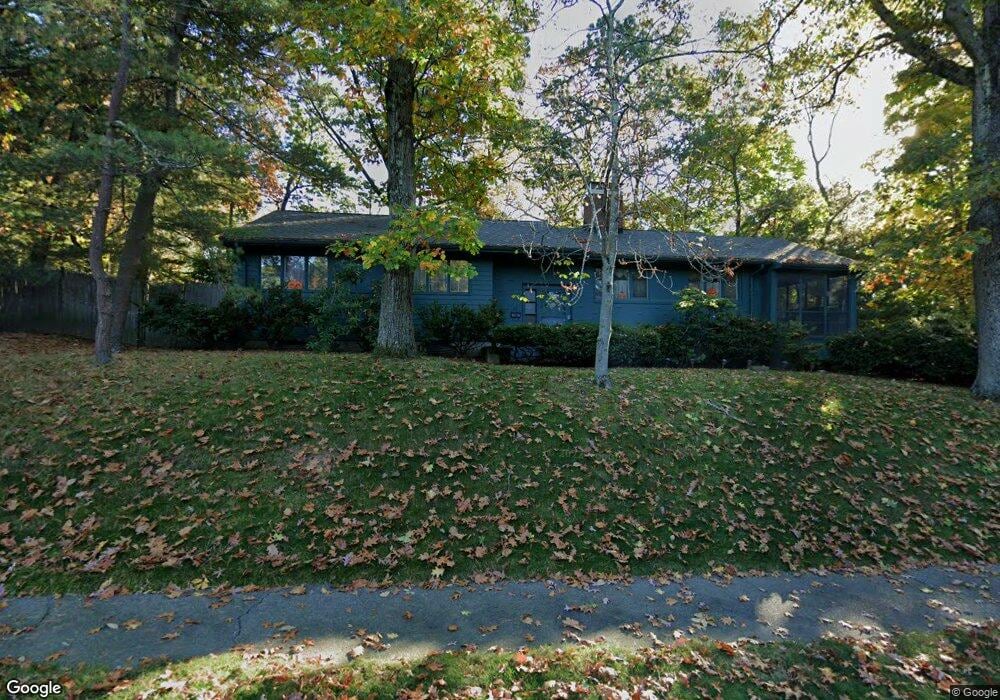
42 Vale View Rd Wakefield, MA 01880
West Side NeighborhoodEstimated Value: $809,669 - $935,000
3
Beds
3
Baths
2,185
Sq Ft
$389/Sq Ft
Est. Value
About This Home
This home is located at 42 Vale View Rd, Wakefield, MA 01880 and is currently estimated at $849,417, approximately $388 per square foot. 42 Vale View Rd is a home located in Middlesex County with nearby schools including Wakefield Memorial High School, St Joseph School, and St. Patrick Elementary School.
Ownership History
Date
Name
Owned For
Owner Type
Purchase Details
Closed on
Mar 24, 1983
Bought by
Fine Melvin and Fine Dorothy G
Current Estimated Value
Create a Home Valuation Report for This Property
The Home Valuation Report is an in-depth analysis detailing your home's value as well as a comparison with similar homes in the area
Home Values in the Area
Average Home Value in this Area
Purchase History
| Date | Buyer | Sale Price | Title Company |
|---|---|---|---|
| Fine Melvin | -- | -- |
Source: Public Records
Mortgage History
| Date | Status | Borrower | Loan Amount |
|---|---|---|---|
| Open | Fine Melvin | $260,000 | |
| Closed | Fine Melvin | $163,000 | |
| Closed | Fine Melvin | $142,500 |
Source: Public Records
Tax History
| Year | Tax Paid | Tax Assessment Tax Assessment Total Assessment is a certain percentage of the fair market value that is determined by local assessors to be the total taxable value of land and additions on the property. | Land | Improvement |
|---|---|---|---|---|
| 2025 | $8,314 | $732,500 | $414,200 | $318,300 |
| 2024 | $7,999 | $711,000 | $402,000 | $309,000 |
| 2023 | $7,723 | $658,400 | $372,200 | $286,200 |
| 2022 | $7,377 | $598,800 | $338,400 | $260,400 |
| 2021 | $7,265 | $570,700 | $315,100 | $255,600 |
| 2020 | $6,988 | $547,200 | $302,000 | $245,200 |
| 2019 | $6,778 | $528,300 | $291,600 | $236,700 |
| 2018 | $6,414 | $495,300 | $273,400 | $221,900 |
| 2017 | $6,148 | $471,800 | $260,400 | $211,400 |
| 2016 | $5,758 | $426,800 | $241,100 | $185,700 |
| 2015 | $5,380 | $399,100 | $225,400 | $173,700 |
| 2014 | $4,943 | $386,800 | $218,400 | $168,400 |
Source: Public Records
Map
Nearby Homes
- 1 Summit Dr Unit 57
- 311 Gazebo Cir Unit 311
- 1014 Gazebo Cir Unit 1014
- 95 Prospect St
- 4 Adams St
- 64 Main St Unit 41B
- 12 Isola Ln
- 66 Main St Unit 16A
- 66 Main St Unit 15A
- 75 Hopkins St
- 62 High St Unit Lot 8
- 62 High St Unit 4
- 62 High St Unit Lot 5
- 62 High St Unit Lot 12
- 8 Mayflower Dr
- 34 Cedar St
- 98 Main St Unit 2
- 313 South St
- 75 Augustus Ct Unit 2003
- 241 Main St Unit C3
Your Personal Tour Guide
Ask me questions while you tour the home.