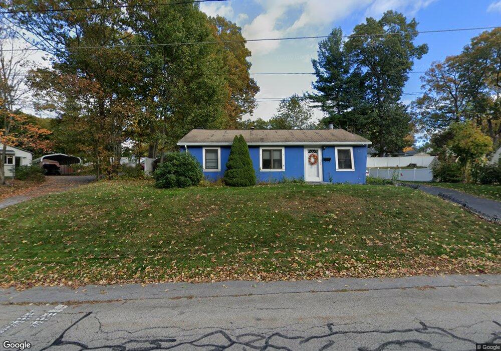
42 Warren Rd Auburn, MA 01501
West Auburn NeighborhoodEstimated Value: $325,000 - $391,298
3
Beds
1
Bath
900
Sq Ft
$411/Sq Ft
Est. Value
About This Home
This home is located at 42 Warren Rd, Auburn, MA 01501 and is currently estimated at $369,825, approximately $410 per square foot. 42 Warren Rd is a home located in Worcester County with nearby schools including Auburn Senior High School and Shrewsbury Montessori School - Auburn Campus.
Ownership History
Date
Name
Owned For
Owner Type
Purchase Details
Closed on
Aug 2, 2005
Sold by
Howard Christina M
Bought by
Chauvin Edward
Current Estimated Value
Home Financials for this Owner
Home Financials are based on the most recent Mortgage that was taken out on this home.
Original Mortgage
$192,187
Outstanding Balance
$101,023
Interest Rate
5.67%
Mortgage Type
Purchase Money Mortgage
Estimated Equity
$268,802
Purchase Details
Closed on
Aug 27, 2004
Sold by
Howard Christina M and Howard Craig S
Bought by
Howard Christina M
Home Financials for this Owner
Home Financials are based on the most recent Mortgage that was taken out on this home.
Original Mortgage
$153,000
Interest Rate
6.02%
Mortgage Type
Purchase Money Mortgage
Purchase Details
Closed on
Mar 16, 2000
Sold by
Schofield Guy P
Bought by
Howard Craig S and Howard Christina M
Create a Home Valuation Report for This Property
The Home Valuation Report is an in-depth analysis detailing your home's value as well as a comparison with similar homes in the area
Home Values in the Area
Average Home Value in this Area
Purchase History
| Date | Buyer | Sale Price | Title Company |
|---|---|---|---|
| Chauvin Edward | $220,000 | -- | |
| Howard Christina M | -- | -- | |
| Howard Craig S | $101,000 | -- |
Source: Public Records
Mortgage History
| Date | Status | Borrower | Loan Amount |
|---|---|---|---|
| Open | Chauvin Edward | $192,187 | |
| Previous Owner | Howard Christina M | $153,000 | |
| Previous Owner | Howard Craig S | $134,400 | |
| Previous Owner | Howard Craig S | $7,200 | |
| Previous Owner | Howard Craig S | $6,862 |
Source: Public Records
Tax History
| Year | Tax Paid | Tax Assessment Tax Assessment Total Assessment is a certain percentage of the fair market value that is determined by local assessors to be the total taxable value of land and additions on the property. | Land | Improvement |
|---|---|---|---|---|
| 2025 | $42 | $292,800 | $114,300 | $178,500 |
| 2024 | $4,125 | $276,300 | $108,600 | $167,700 |
| 2023 | $3,981 | $250,700 | $98,700 | $152,000 |
| 2022 | $3,776 | $224,500 | $98,700 | $125,800 |
| 2021 | $5,112 | $191,700 | $87,100 | $104,600 |
| 2020 | $4,828 | $191,700 | $87,100 | $104,600 |
| 2019 | $3,747 | $180,700 | $86,200 | $94,500 |
| 2018 | $4,542 | $165,500 | $80,600 | $84,900 |
| 2017 | $4,121 | $158,000 | $73,100 | $84,900 |
| 2016 | $6,050 | $151,200 | $76,800 | $74,400 |
| 2015 | $2,577 | $149,300 | $76,800 | $72,500 |
| 2014 | $2,419 | $139,900 | $73,200 | $66,700 |
Source: Public Records
Map
Nearby Homes
Your Personal Tour Guide
Ask me questions while you tour the home.