42 Wheaton Rd Washington Depot, CT 06794
Estimated Value: $410,000 - $1,352,000
3
Beds
6
Baths
2,280
Sq Ft
$371/Sq Ft
Est. Value
About This Home
This home is located at 42 Wheaton Rd, Washington Depot, CT 06794 and is currently estimated at $845,550, approximately $370 per square foot. 42 Wheaton Rd is a home located in Litchfield County with nearby schools including Shepaug Valley School.
Ownership History
Date
Name
Owned For
Owner Type
Purchase Details
Closed on
Nov 1, 1996
Sold by
American Bank Ct
Bought by
Finker Jules and Finker Daniele
Current Estimated Value
Home Financials for this Owner
Home Financials are based on the most recent Mortgage that was taken out on this home.
Original Mortgage
$25,000
Interest Rate
8.07%
Mortgage Type
Unknown
Create a Home Valuation Report for This Property
The Home Valuation Report is an in-depth analysis detailing your home's value as well as a comparison with similar homes in the area
Home Values in the Area
Average Home Value in this Area
Purchase History
| Date | Buyer | Sale Price | Title Company |
|---|---|---|---|
| Finker Jules | $87,500 | -- | |
| Finker Jules | $87,500 | -- |
Source: Public Records
Mortgage History
| Date | Status | Borrower | Loan Amount |
|---|---|---|---|
| Closed | Finker Jules | $25,000 |
Source: Public Records
Tax History
| Year | Tax Paid | Tax Assessment Tax Assessment Total Assessment is a certain percentage of the fair market value that is determined by local assessors to be the total taxable value of land and additions on the property. | Land | Improvement |
|---|---|---|---|---|
| 2025 | $4,161 | $383,460 | $99,470 | $283,990 |
| 2024 | $4,161 | $383,460 | $99,470 | $283,990 |
| 2023 | $3,583 | $251,440 | $100,380 | $151,060 |
| 2022 | $3,583 | $251,440 | $100,380 | $151,060 |
| 2021 | $3,583 | $251,440 | $100,380 | $151,060 |
| 2020 | $3,583 | $251,440 | $100,380 | $151,060 |
| 2019 | $3,583 | $251,440 | $100,380 | $151,060 |
| 2018 | $3,845 | $269,820 | $104,940 | $164,880 |
| 2017 | $3,845 | $269,820 | $104,940 | $164,880 |
| 2016 | $3,845 | $269,820 | $104,940 | $164,880 |
| 2015 | $3,710 | $269,820 | $104,940 | $164,880 |
| 2014 | $3,643 | $269,820 | $104,940 | $164,880 |
Source: Public Records
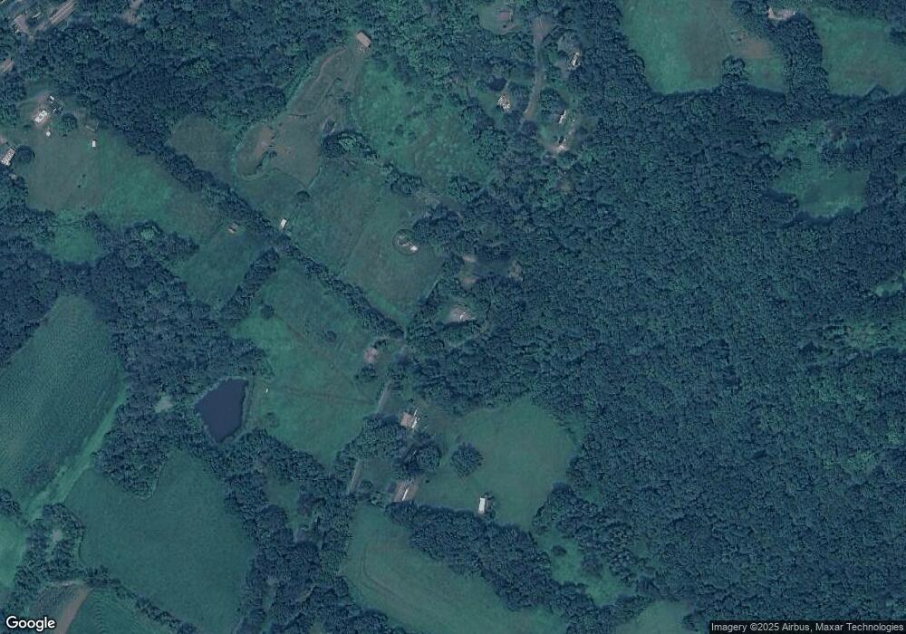
Map
Nearby Homes
- 29 Quarry Ridge Rd
- 36 Sunset Ln
- 15 Connelly Rd
- 196 Baldwin Hill Rd
- Lot 2 060804A Popple Swamp Rd
- LOT 1 060804 Popple Swamp Rd
- 25 E Shore Rd
- 55 Washington Ridge Rd
- 77 New Milford Turnpike
- 96 Kinney Hill Rd
- 1 N Shore Rd
- 62 Big Bear Hill Rd
- 92 E Shore Rd
- 217 Sawyer Hill Rd
- 10 Harmony Trail
- 4 Blossom Ct
- 109 Church Hill Rd
- 19 Juniper Meadow Rd
- 28 Squire Hill Rd
- 85 W Church Hill Rd
- 34 Wheaton Rd
- 31 Wheaton Rd
- 43 Wheaton Rd
- 52 Wheaton Rd
- 25 Wheaton Rd
- 26 Wheaton Rd
- 55 Wheaton Rd
- 22 Wheaton Rd
- 33 Wheaton Rd
- 22 Wheaton Rd
- 17 Wheaton Rd
- 59 Wheaton Rd
- 98 Scofield Hill Rd
- 14 Wheaton Rd
- 11 Wheaton Rd
- 70 Wheaton Rd
- 12 Wheaton Rd
- 263 New Milford Turnpike
- 68 Wheaton Rd
- 279 New Milford Turnpike
Your Personal Tour Guide
Ask me questions while you tour the home.