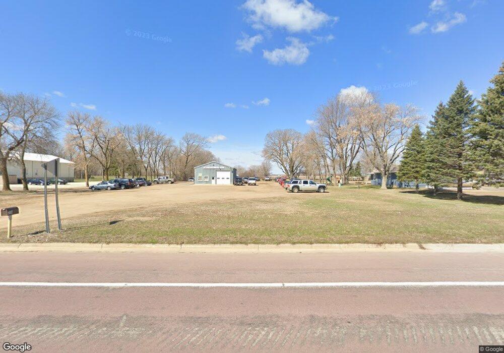
420 Airport Rd Marshall, MN 56258
Estimated Value: $188,000 - $222,000
--
Bed
--
Bath
--
Sq Ft
0.62
Acres
About This Home
This home is located at 420 Airport Rd, Marshall, MN 56258 and is currently estimated at $197,365. 420 Airport Rd is a home located in Lyon County with nearby schools including Park Side Elementary School, West Side Elementary School, and Marshall Middle School.
Ownership History
Date
Name
Owned For
Owner Type
Purchase Details
Closed on
Feb 24, 2014
Sold by
First Independence Bank
Bought by
Pearcy Michael J
Current Estimated Value
Home Financials for this Owner
Home Financials are based on the most recent Mortgage that was taken out on this home.
Original Mortgage
$90,000
Interest Rate
4.49%
Mortgage Type
New Conventional
Create a Home Valuation Report for This Property
The Home Valuation Report is an in-depth analysis detailing your home's value as well as a comparison with similar homes in the area
Home Values in the Area
Average Home Value in this Area
Purchase History
| Date | Buyer | Sale Price | Title Company |
|---|---|---|---|
| Pearcy Michael J | -- | -- |
Source: Public Records
Mortgage History
| Date | Status | Borrower | Loan Amount |
|---|---|---|---|
| Closed | Pearcy Michael J | $90,000 |
Source: Public Records
Tax History Compared to Growth
Tax History
| Year | Tax Paid | Tax Assessment Tax Assessment Total Assessment is a certain percentage of the fair market value that is determined by local assessors to be the total taxable value of land and additions on the property. | Land | Improvement |
|---|---|---|---|---|
| 2025 | $1,744 | $158,500 | $30,900 | $127,600 |
| 2024 | $1,782 | $158,500 | $30,900 | $127,600 |
| 2023 | $1,722 | $158,500 | $30,900 | $127,600 |
| 2022 | $1,318 | $146,800 | $30,900 | $115,900 |
| 2021 | $1,334 | $114,000 | $30,900 | $83,100 |
| 2020 | $1,344 | $114,000 | $30,900 | $83,100 |
| 2019 | $1,268 | $115,700 | $30,900 | $84,800 |
| 2018 | $1,006 | $115,700 | $30,900 | $84,800 |
| 2017 | $1,006 | $99,600 | $30,900 | $68,700 |
| 2016 | $980 | $0 | $0 | $0 |
| 2015 | -- | $0 | $0 | $0 |
| 2014 | -- | $0 | $0 | $0 |
Source: Public Records
Map
Nearby Homes
- 2653 County Road 7
- 1514 Westwood Dr
- 1512 Westwood Dr
- 1510 Westwood Dr
- 1508 Westwood Dr
- 1506 Westwood Dr
- 1402 Cumberland Rd
- 1403 Cumberland Rd
- 1504 Westwood Dr
- 1502 Westwood Dr
- 1509 Westwood Dr
- 1500 Westwood Dr
- 1401 Cumberland Rd
- 1504 Pinehurst Rd
- 1410 Westwood Dr
- 2631 County Road 7
- 1502 Pinehurst Rd
- 1500 Pinehurst Rd
- 1505 Westwood Dr
- 400 Airport Rd