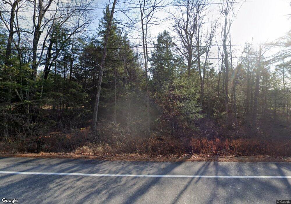
420 Boundary Rd Steep Falls, ME 04085
Estimated Value: $534,000 - $607,000
4
Beds
3
Baths
2,282
Sq Ft
$246/Sq Ft
Est. Value
About This Home
This home is located at 420 Boundary Rd, Steep Falls, ME 04085 and is currently estimated at $562,181, approximately $246 per square foot. 420 Boundary Rd is a home with nearby schools including Bonny Eagle High School.
Ownership History
Date
Name
Owned For
Owner Type
Purchase Details
Closed on
Sep 10, 2012
Sold by
Mckenney Joshua C and Mckenney Angela S
Bought by
Johnson Eric
Current Estimated Value
Home Financials for this Owner
Home Financials are based on the most recent Mortgage that was taken out on this home.
Original Mortgage
$221,600
Outstanding Balance
$152,976
Interest Rate
3.52%
Mortgage Type
New Conventional
Estimated Equity
$409,205
Purchase Details
Closed on
Oct 28, 2011
Sold by
Mckenney Angela S
Bought by
Bac Home Loans Svcng Lp and Bank Of America Na
Create a Home Valuation Report for This Property
The Home Valuation Report is an in-depth analysis detailing your home's value as well as a comparison with similar homes in the area
Home Values in the Area
Average Home Value in this Area
Purchase History
| Date | Buyer | Sale Price | Title Company |
|---|---|---|---|
| Johnson Eric | -- | -- | |
| Bac Home Loans Svcng Lp | -- | -- |
Source: Public Records
Mortgage History
| Date | Status | Borrower | Loan Amount |
|---|---|---|---|
| Open | Johnson Eric | $221,600 |
Source: Public Records
Tax History Compared to Growth
Tax History
| Year | Tax Paid | Tax Assessment Tax Assessment Total Assessment is a certain percentage of the fair market value that is determined by local assessors to be the total taxable value of land and additions on the property. | Land | Improvement |
|---|---|---|---|---|
| 2024 | $4,823 | $382,800 | $74,400 | $308,400 |
| 2023 | $4,485 | $323,800 | $63,900 | $259,900 |
| 2022 | $4,204 | $290,900 | $57,800 | $233,100 |
| 2021 | $4,134 | $275,600 | $53,500 | $222,100 |
| 2019 | $3,818 | $267,000 | $51,300 | $215,700 |
| 2018 | $3,652 | $262,700 | $47,000 | $215,700 |
| 2017 | $3,481 | $262,700 | $47,000 | $215,700 |
| 2016 | $1,828 | $262,700 | $47,000 | $215,700 |
| 2015 | $3,360 | $262,700 | $47,000 | $215,700 |
| 2013 | -- | $262,700 | $47,000 | $215,700 |
Source: Public Records
Map
Nearby Homes
- 9 Hunters Haven
- 6 Hunters Haven
- 67 Natures Way
- 16 Hunters Haven
- 11 Estes Dr
- 31 Hunters Haven
- 22 Estes Dr
- 419 Middle Rd
- 1 Mosley Rd
- 415 Richville Rd
- 937 Pequawket Trail
- 599 Pequawket Trail
- 103 Kayli Dr
- 56 Woodbrey Ln
- 8 Natures Way
- Lot #16 Cole Hill Rd
- 1079 Pequawket Trail
- 1097 Pequawket Trail
- 9 Macie Dr
- 1222 Pequawket Trail
- 404 Boundary Rd
- 400 Boundary Rd
- Lot 4 Boundary Rd
- 442 Boundary Rd
- 404 Boundary Rd
- 428 Boundary Rd
- M8-L7 Boundary Rd
- Lot 3 Boundary Rd
- 436 Boundary Rd
- 301 Boundary Rd
- 440 Boundary Rd
- 849 Boundary
- Lot 2 Boundary Rd
- 118 Natures Way
- 432 Boundary Rd
- 120 Natures Way
- 448 Boundary Rd
- 450 Boundary Rd
- 94 Natures Way
- Lot 6-81 Nature's Way
