420 Capser Rd La Pointe, WI 54850
Estimated Value: $53,038 - $431,000
Studio
--
Bath
--
Sq Ft
44,431
Sq Ft Lot
About This Home
This home is located at 420 Capser Rd, La Pointe, WI 54850 and is currently estimated at $279,346. 420 Capser Rd is a home with nearby schools including Bayfield High School.
Ownership History
Date
Name
Owned For
Owner Type
Purchase Details
Closed on
Apr 20, 2017
Sold by
Emmel Jeffrey L
Bought by
Iannazzo Michael J and Iannazzo Barbara M
Current Estimated Value
Purchase Details
Closed on
Dec 29, 2005
Sold by
Obrien Matthew Gerald
Bought by
Emmel Jeffrey L
Home Financials for this Owner
Home Financials are based on the most recent Mortgage that was taken out on this home.
Original Mortgage
$78,800
Interest Rate
6.34%
Mortgage Type
Future Advance Clause Open End Mortgage
Create a Home Valuation Report for This Property
The Home Valuation Report is an in-depth analysis detailing your home's value as well as a comparison with similar homes in the area
Purchase History
| Date | Buyer | Sale Price | Title Company |
|---|---|---|---|
| Iannazzo Michael J | $25,500 | -- | |
| Emmel Jeffrey L | $82,000 | None Available |
Source: Public Records
Mortgage History
| Date | Status | Borrower | Loan Amount |
|---|---|---|---|
| Previous Owner | Emmel Jeffrey L | $78,800 |
Source: Public Records
Tax History
| Year | Tax Paid | Tax Assessment Tax Assessment Total Assessment is a certain percentage of the fair market value that is determined by local assessors to be the total taxable value of land and additions on the property. | Land | Improvement |
|---|---|---|---|---|
| 2025 | $656 | $30,200 | $25,200 | $5,000 |
| 2024 | $622 | $30,200 | $25,200 | $5,000 |
| 2023 | $725 | $31,600 | $27,000 | $4,600 |
| 2022 | $663 | $31,600 | $27,000 | $4,600 |
| 2021 | $664 | $31,600 | $27,000 | $4,600 |
| 2020 | $642 | $31,600 | $27,000 | $4,600 |
| 2019 | $609 | $31,600 | $27,000 | $4,600 |
| 2018 | $554 | $27,000 | $27,000 | $0 |
| 2017 | $542 | $27,000 | $27,000 | $0 |
| 2016 | $543 | $27,000 | $27,000 | $0 |
| 2015 | $568 | $27,000 | $27,000 | $0 |
| 2014 | $550 | $30,000 | $30,000 | $0 |
| 2013 | $570 | $30,000 | $30,000 | $0 |
Source: Public Records
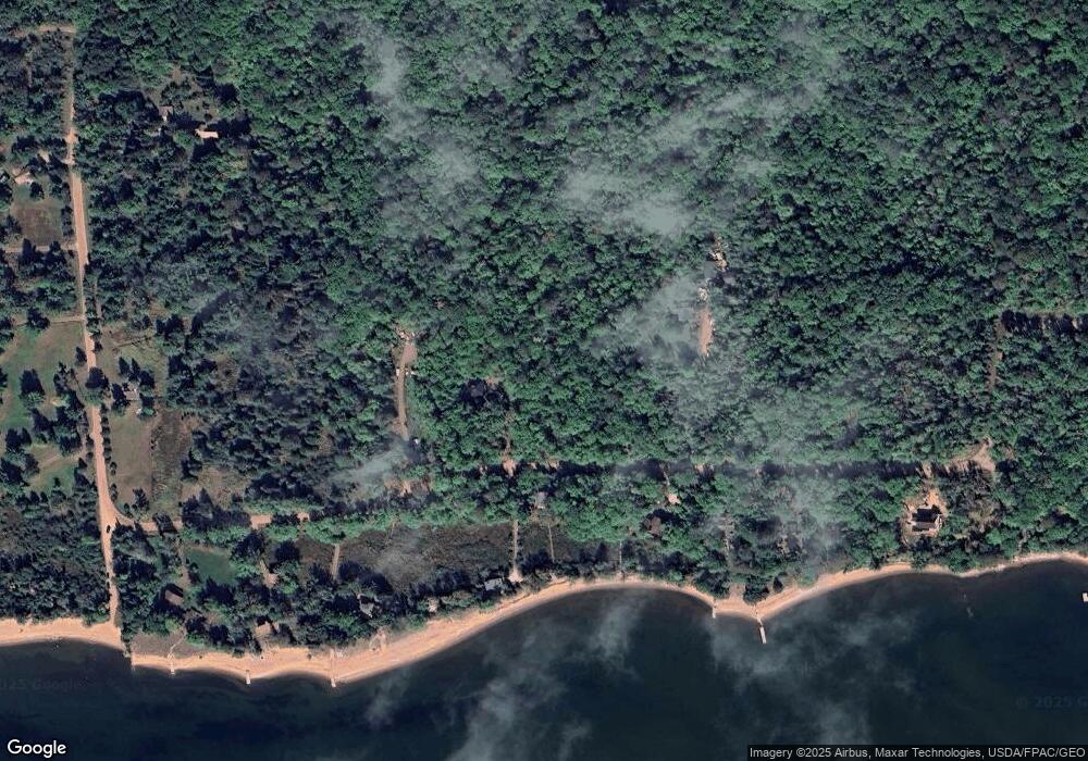
Map
Nearby Homes
- Lot 2, Block 2 Raspberry Trail
- Lot 6, Block 1 Raspberry Trail
- Lot 3, Block 1 Raspberry Trail
- Lot 5 Raspberry Trail
- Lot 1, Block 1 Raspberry Trail
- 804 Middle Rd
- 1117 S Shore Rd
- 1161 Middle Rd
- XXX Old San Rd Unit 12
- XXX Old San Rd Unit 11
- XXX Old San Rd Unit TBD-Farmhouse
- XXX Old San Rd Unit TBD- Woodland
- XXX Old San Rd Unit 16
- XXX Old San Rd Unit TBD-Field Pair
- 84860 Old San Rd Unit T4
- Lots 1-5 Wilson Ave
- 84195 State Highway 13
- 107 S 4th St
- 11XXX Old Military Rd
- 33 S 4th St
Your Personal Tour Guide
Ask me questions while you tour the home.