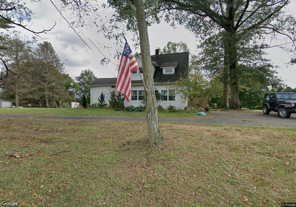
420 Cranbury Rd Princeton Junction, NJ 08550
Estimated Value: $654,000 - $706,000
--
Bed
--
Bath
1,953
Sq Ft
$346/Sq Ft
Est. Value
About This Home
This home is located at 420 Cranbury Rd, Princeton Junction, NJ 08550 and is currently estimated at $675,718, approximately $345 per square foot. 420 Cranbury Rd is a home located in Mercer County with nearby schools including Maurice Hawk Elementary School, Millstone River School, and Community Middle School.
Ownership History
Date
Name
Owned For
Owner Type
Purchase Details
Closed on
May 18, 2012
Sold by
Mershon Elizabeth H
Bought by
Calandra Philip J and Calandra Christine M
Current Estimated Value
Home Financials for this Owner
Home Financials are based on the most recent Mortgage that was taken out on this home.
Original Mortgage
$143,540
Outstanding Balance
$99,452
Interest Rate
3.9%
Mortgage Type
Unknown
Estimated Equity
$576,266
Purchase Details
Closed on
Sep 27, 1995
Sold by
Drummond Andrew
Bought by
Bershon Elizabeth
Create a Home Valuation Report for This Property
The Home Valuation Report is an in-depth analysis detailing your home's value as well as a comparison with similar homes in the area
Home Values in the Area
Average Home Value in this Area
Purchase History
| Date | Buyer | Sale Price | Title Company |
|---|---|---|---|
| Calandra Philip J | $315,000 | None Available | |
| Bershon Elizabeth | $278,000 | -- |
Source: Public Records
Mortgage History
| Date | Status | Borrower | Loan Amount |
|---|---|---|---|
| Open | Calandra Philip J | $143,540 |
Source: Public Records
Tax History Compared to Growth
Tax History
| Year | Tax Paid | Tax Assessment Tax Assessment Total Assessment is a certain percentage of the fair market value that is determined by local assessors to be the total taxable value of land and additions on the property. | Land | Improvement |
|---|---|---|---|---|
| 2025 | $11,531 | $376,200 | $176,000 | $200,200 |
| 2024 | $11,049 | $376,200 | $176,000 | $200,200 |
| 2023 | $11,049 | $376,200 | $176,000 | $200,200 |
| 2022 | $10,835 | $376,200 | $176,000 | $200,200 |
| 2021 | $10,744 | $376,200 | $176,000 | $200,200 |
| 2020 | $10,549 | $376,200 | $176,000 | $200,200 |
| 2019 | $10,428 | $376,200 | $176,000 | $200,200 |
| 2018 | $10,330 | $376,200 | $176,000 | $200,200 |
| 2017 | $10,116 | $376,200 | $176,000 | $200,200 |
| 2016 | $11,582 | $440,200 | $240,000 | $200,200 |
| 2015 | $11,313 | $440,200 | $240,000 | $200,200 |
| 2014 | $11,181 | $440,200 | $240,000 | $200,200 |
Source: Public Records
Map
Nearby Homes
- 7 Camas Ct
- 2 Colonial Ct
- 2 Joanne St
- 32 W Kincaid Dr
- 12 Corio Ct
- 20 Berkshire Dr
- 4 Pond View Dr
- 34 Prospect Ave
- 5 Glengarry Way
- 71 Riverwalk
- 45 Riverwalk
- 34 Riverwalk
- 90 Princeton Hightstown Rd
- 3103 Justin Dr
- 1005 Justin Dr Unit 1002
- 2902 Justin Dr
- 1402 Justin Dr Unit 1403
- 3102 Justin Dr
- 2904 Justin Dr Unit 2903
- 1402 Justin Dr
- 402 Cranbury Rd
- 431 Cranbury Rd
- 434 Cranbury Rd
- 304 Cranbury Rd
- 18 Dey Farm Rd
- 16 Dey Farm Rd
- 442 Cranbury Rd
- 296 Cranbury Rd
- 12 Rabbit Hill Rd
- 446 Cranbury Rd
- 295 Cranbury Rd
- 288 Cranbury Rd
- 454 Cranbury Rd
- 33 Barrington Dr
- 457 Cranbury Rd
- 14 Dey Farm Rd
- 1 Perry Dr
- 3 Perry Dr
- 15 Dey Farm Rd
- 5 Perry Dr