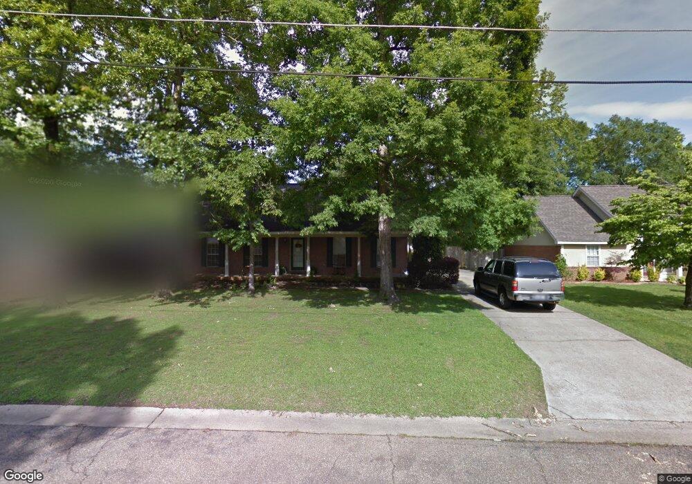
420 Drake Cir Columbus, MS 39702
Estimated Value: $206,000 - $241,000
--
Bed
--
Bath
1,780
Sq Ft
$123/Sq Ft
Est. Value
About This Home
This home is located at 420 Drake Cir, Columbus, MS 39702 and is currently estimated at $218,602, approximately $122 per square foot. 420 Drake Cir is a home.
Ownership History
Date
Name
Owned For
Owner Type
Purchase Details
Closed on
Jul 8, 2015
Sold by
Cook Jeffrey H and Cook Paige G
Bought by
Nabors Fontella L
Current Estimated Value
Home Financials for this Owner
Home Financials are based on the most recent Mortgage that was taken out on this home.
Original Mortgage
$137,244
Outstanding Balance
$107,536
Interest Rate
4.08%
Mortgage Type
New Conventional
Estimated Equity
$111,066
Purchase Details
Closed on
Sep 14, 2006
Sold by
Tate Christopher A
Bought by
Cook Jeffrey H and Cook Paige C
Home Financials for this Owner
Home Financials are based on the most recent Mortgage that was taken out on this home.
Original Mortgage
$100,000
Interest Rate
6.48%
Create a Home Valuation Report for This Property
The Home Valuation Report is an in-depth analysis detailing your home's value as well as a comparison with similar homes in the area
Home Values in the Area
Average Home Value in this Area
Purchase History
| Date | Buyer | Sale Price | Title Company |
|---|---|---|---|
| Nabors Fontella L | -- | Attorney | |
| Cook Jeffrey H | -- | -- |
Source: Public Records
Mortgage History
| Date | Status | Borrower | Loan Amount |
|---|---|---|---|
| Open | Nabors Fontella L | $137,244 | |
| Previous Owner | Cook Jeffrey H | $100,000 |
Source: Public Records
Tax History Compared to Growth
Tax History
| Year | Tax Paid | Tax Assessment Tax Assessment Total Assessment is a certain percentage of the fair market value that is determined by local assessors to be the total taxable value of land and additions on the property. | Land | Improvement |
|---|---|---|---|---|
| 2025 | $1,145 | $14,768 | $0 | $0 |
| 2024 | $1,133 | $14,768 | $0 | $0 |
| 2023 | $941 | $12,837 | $0 | $0 |
| 2022 | $941 | $12,837 | $0 | $0 |
| 2021 | $896 | $12,837 | $0 | $0 |
| 2020 | $830 | $12,837 | $0 | $0 |
| 2019 | $673 | $10,927 | $0 | $0 |
| 2018 | $673 | $10,721 | $0 | $0 |
| 2017 | $630 | $10,721 | $0 | $0 |
| 2016 | $630 | $10,721 | $0 | $0 |
| 2015 | $645 | $10,892 | $0 | $0 |
| 2014 | $645 | $10,892 | $0 | $0 |
Source: Public Records
Map
Nearby Homes
- 2654 Yorkville Rd E
- 524 Jones Dr
- 4 Stringer Ln
- 669 Jones Dr
- 17 Paige Cove
- 358 Rogers Way
- 338 Rogers Way
- 836 Oswalt Rd
- 102 Livingston Ln
- 49 Freeman Dr
- 186 Wind Chase Dr
- 9 Monticello Cir
- 364 Pinewood Dr
- 40 Angela Dr
- 116 Kings Path
- 262 Center Rd
- 0 Yorkville Rd E
- 0 New Hope Rd Unit 25-2493
- 11 Mckay Dr
- 0 Mckay Dr