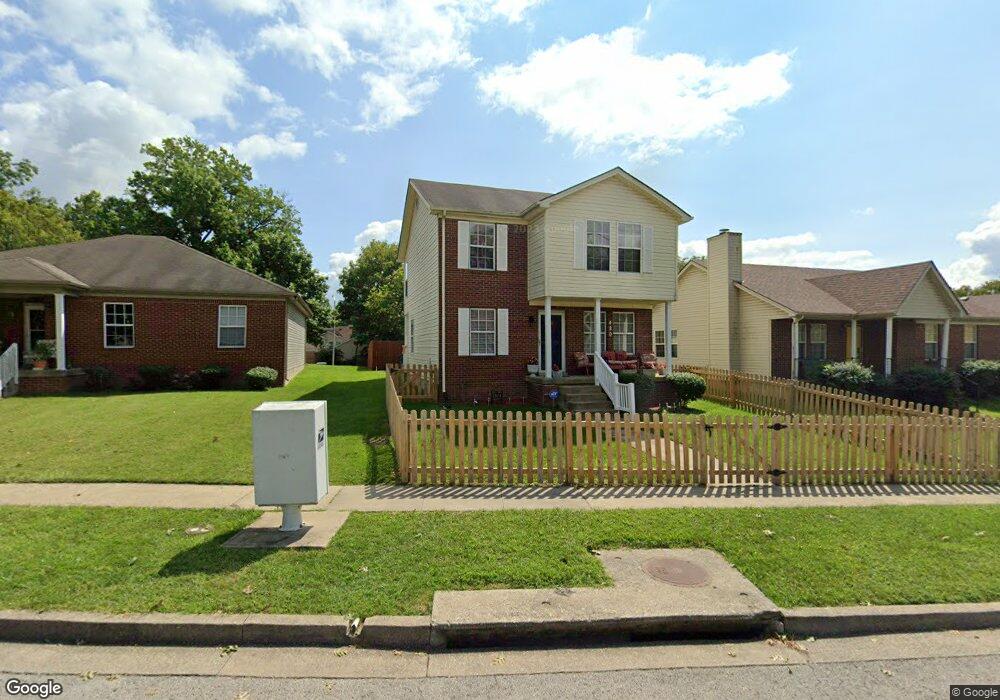
420 Elm Tree Ln Lexington, KY 40508
William Wells Brown NeighborhoodEstimated Value: $263,000 - $349,000
3
Beds
3
Baths
2,028
Sq Ft
$150/Sq Ft
Est. Value
About This Home
This home is located at 420 Elm Tree Ln, Lexington, KY 40508 and is currently estimated at $305,005, approximately $150 per square foot. 420 Elm Tree Ln is a home located in Fayette County with nearby schools including William Wells Brown Elementary School, Lexington Traditional Magnet School, and Frederick Douglass High School.
Ownership History
Date
Name
Owned For
Owner Type
Purchase Details
Closed on
Apr 28, 2017
Sold by
Clark James J and Croney Elizabeth L
Bought by
Ward Toya B Berry and Ward Bethel H
Current Estimated Value
Home Financials for this Owner
Home Financials are based on the most recent Mortgage that was taken out on this home.
Original Mortgage
$132,275
Outstanding Balance
$110,896
Interest Rate
4.4%
Mortgage Type
FHA
Estimated Equity
$194,109
Purchase Details
Closed on
Nov 16, 2009
Sold by
Brantley Clarence
Bought by
Clark James and Clark Elizabeth
Home Financials for this Owner
Home Financials are based on the most recent Mortgage that was taken out on this home.
Original Mortgage
$86,400
Interest Rate
4.93%
Mortgage Type
Purchase Money Mortgage
Create a Home Valuation Report for This Property
The Home Valuation Report is an in-depth analysis detailing your home's value as well as a comparison with similar homes in the area
Home Values in the Area
Average Home Value in this Area
Purchase History
| Date | Buyer | Sale Price | Title Company |
|---|---|---|---|
| Ward Toya B Berry | $135,000 | -- | |
| Clark James | $108,000 | -- |
Source: Public Records
Mortgage History
| Date | Status | Borrower | Loan Amount |
|---|---|---|---|
| Open | Clark James | $132,275 | |
| Previous Owner | Clark James | $7,600 | |
| Previous Owner | Clark James | $86,400 |
Source: Public Records
Tax History Compared to Growth
Tax History
| Year | Tax Paid | Tax Assessment Tax Assessment Total Assessment is a certain percentage of the fair market value that is determined by local assessors to be the total taxable value of land and additions on the property. | Land | Improvement |
|---|---|---|---|---|
| 2024 | $2,092 | $215,600 | $0 | $0 |
| 2023 | $1,369 | $157,100 | $0 | $0 |
| 2022 | $2,007 | $157,100 | $0 | $0 |
| 2021 | $2,007 | $157,100 | $0 | $0 |
| 2020 | $2,007 | $157,100 | $0 | $0 |
| 2019 | $2,007 | $157,100 | $0 | $0 |
| 2018 | $1,724 | $135,000 | $0 | $0 |
| 2017 | $1,315 | $108,000 | $0 | $0 |
| 2015 | $1,209 | $108,000 | $0 | $0 |
| 2014 | $1,209 | $108,000 | $0 | $0 |
| 2012 | $1,209 | $108,000 | $0 | $0 |
Source: Public Records
Map
Nearby Homes
- 443 Ohio St
- 449 Ohio St
- 248 E Fifth St
- 216 E Fifth St
- 238 Rand Ave
- 331 Wilgus Ave
- 557 Chestnut St
- 240 E Third St
- 457 Johnson Ave
- 223 Race St
- 371 N Limestone
- 160 Constitution St
- 117 W Fifth St
- 635 N Martin Luther King Blvd
- 650 N Martin Luther King Blvd
- 549 N Limestone
- 168 Alabama Ave
- 140 Alabama Ave
- 150 Deweese St
- 636 N Limestone