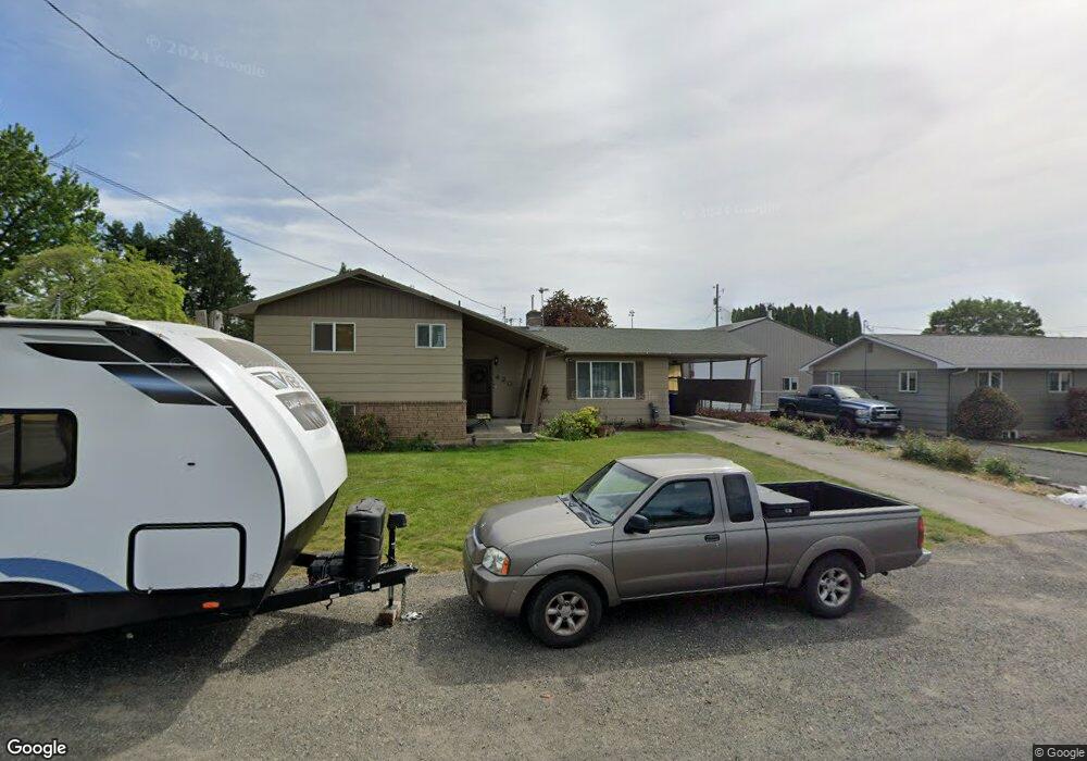
420 Linden Dr Lewiston, ID 83501
Estimated Value: $377,330 - $412,000
4
Beds
2
Baths
2,556
Sq Ft
$156/Sq Ft
Est. Value
About This Home
This home is located at 420 Linden Dr, Lewiston, ID 83501 and is currently estimated at $398,083, approximately $155 per square foot. 420 Linden Dr is a home located in Nez Perce County with nearby schools including McGhee Elementary School, Lewiston High School, and Beacon Christian School.
Ownership History
Date
Name
Owned For
Owner Type
Purchase Details
Closed on
Apr 25, 2008
Sold by
Howard Margaret June and Evans Donald Leslie
Bought by
Tyler Joshua B and Tyler Ann Marie
Current Estimated Value
Home Financials for this Owner
Home Financials are based on the most recent Mortgage that was taken out on this home.
Original Mortgage
$118,400
Outstanding Balance
$75,879
Interest Rate
6.11%
Mortgage Type
New Conventional
Estimated Equity
$322,204
Purchase Details
Closed on
Nov 29, 2006
Sold by
Howard Margaret June and Hermann Margaret June
Bought by
Evans Donald Leslie and Evans Richard Arlen
Create a Home Valuation Report for This Property
The Home Valuation Report is an in-depth analysis detailing your home's value as well as a comparison with similar homes in the area
Purchase History
| Date | Buyer | Sale Price | Title Company |
|---|---|---|---|
| Tyler Joshua B | $160,000 | -- | |
| Evans Donald Leslie | -- | -- |
Source: Public Records
Mortgage History
| Date | Status | Borrower | Loan Amount |
|---|---|---|---|
| Open | Tyler Joshua B | $118,400 |
Source: Public Records
Tax History
| Year | Tax Paid | Tax Assessment Tax Assessment Total Assessment is a certain percentage of the fair market value that is determined by local assessors to be the total taxable value of land and additions on the property. | Land | Improvement |
|---|---|---|---|---|
| 2025 | $2,645 | $330,779 | $64,000 | $266,779 |
| 2024 | $25 | $313,495 | $61,000 | $252,495 |
| 2023 | $2,605 | $327,447 | $59,250 | $268,197 |
| 2022 | $2,996 | $303,141 | $51,500 | $251,641 |
| 2021 | $2,415 | $245,284 | $41,750 | $203,534 |
| 2020 | $2,140 | $208,298 | $34,750 | $173,548 |
| 2019 | $2,067 | $190,753 | $34,750 | $156,003 |
| 2018 | $2,028 | $185,597 | $33,000 | $152,597 |
| 2017 | $1,772 | $0 | $0 | $0 |
| 2016 | $1,772 | $0 | $0 | $0 |
| 2015 | $1,689 | $0 | $0 | $0 |
| 2014 | $1,604 | $162,226 | $28,750 | $133,476 |
Source: Public Records
Map
Nearby Homes
- 407 Linden Dr
- 404 Linden Dr
- 3327 4th St
- 3313 4th St
- 3312 5th St
- 3438 5th St Unit C
- 3434 5th St Unit B
- 3228 5th St
- 515 Warner Ave Unit 32
- 0000 Warner Dr
- 606 Warner Ave Unit B
- 609 Linden Ave
- 601 Cedar Ave
- 631 Warner Ave
- 631 Warner Ave Unit 1
- 628 Burrell Ave Unit 5
- 609 Grelle Ave
- 2936 Mayfair Ridge
- 709 Park Ave
- 3519 7th St
Your Personal Tour Guide
Ask me questions while you tour the home.