420 Linebrook Rd Ipswich, MA 01938
Estimated Value: $1,149,000 - $1,353,000
4
Beds
3
Baths
2,886
Sq Ft
$435/Sq Ft
Est. Value
About This Home
This home is located at 420 Linebrook Rd, Ipswich, MA 01938 and is currently estimated at $1,254,443, approximately $434 per square foot. 420 Linebrook Rd is a home located in Essex County with nearby schools including Ipswich High School and Clark School.
Ownership History
Date
Name
Owned For
Owner Type
Purchase Details
Closed on
Dec 19, 2024
Sold by
Malgari Betty J and Malgari Salvatore
Bought by
Salvatore and Salvatore J B
Current Estimated Value
Purchase Details
Closed on
Aug 3, 1976
Bought by
Malgari Salvatore and Malgari Betty
Create a Home Valuation Report for This Property
The Home Valuation Report is an in-depth analysis detailing your home's value as well as a comparison with similar homes in the area
Home Values in the Area
Average Home Value in this Area
Purchase History
| Date | Buyer | Sale Price | Title Company |
|---|---|---|---|
| Salvatore | -- | None Available | |
| Salvatore | -- | None Available | |
| Malgari Salvatore | -- | -- |
Source: Public Records
Mortgage History
| Date | Status | Borrower | Loan Amount |
|---|---|---|---|
| Previous Owner | Malgari Salvatore | $150,000 | |
| Previous Owner | Malgari Salvatore | $100,000 | |
| Previous Owner | Malgari Salvatore | $80,000 |
Source: Public Records
Tax History Compared to Growth
Tax History
| Year | Tax Paid | Tax Assessment Tax Assessment Total Assessment is a certain percentage of the fair market value that is determined by local assessors to be the total taxable value of land and additions on the property. | Land | Improvement |
|---|---|---|---|---|
| 2025 | $12,277 | $1,101,100 | $424,100 | $677,000 |
| 2024 | $11,126 | $977,700 | $400,200 | $577,500 |
| 2023 | $10,841 | $886,400 | $380,600 | $505,800 |
| 2022 | $10,243 | $796,500 | $341,400 | $455,100 |
| 2021 | $10,115 | $765,100 | $341,400 | $423,700 |
| 2020 | $10,065 | $717,900 | $321,800 | $396,100 |
| 2019 | $9,894 | $702,200 | $321,800 | $380,400 |
| 2018 | $9,999 | $702,200 | $321,800 | $380,400 |
| 2017 | $9,597 | $676,300 | $310,100 | $366,200 |
| 2016 | $9,719 | $654,500 | $298,300 | $356,200 |
| 2015 | $8,737 | $646,700 | $290,500 | $356,200 |
Source: Public Records
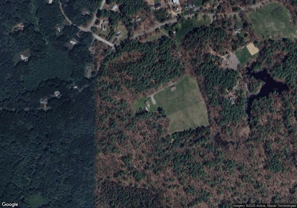
Map
Nearby Homes
- 29 Charlotte Rd
- 14 Pond St
- 88 Haverhill Rd
- 8 Mansion Dr
- 37 East St
- 43 Willowdale Rd
- 16 Killam Hill Rd
- 54 Willowdale Rd
- 4 Ruby Cir
- 58 Washington St
- 18 Boxford Rd
- 9 Andrews Farm Rd
- 75 Country Club Way
- 20 Barnside Rd
- 1 Court Ln
- 76-78 Daniels Rd
- 34 Woodcrest Rd
- 117 Perkins Row
- 10 Haymeadow Rd
- 46 Buttonwood
- A-1 Greens Pt Rd
- LOT D Poplar St
- 449 Linebrook Rd
- 2 Pillow Lace Ln
- 445 Linebrook Rd
- 451 Linebrook Rd
- 414 Linebrook Rd
- 416 Linebrook Rd
- 443 Linebrook Rd
- 453 Linebrook Rd
- 1 Cobblers Ln
- 4 Pillow Lace Ln
- 412 Linebrook Rd
- 441 Linebrook Rd
- 3 Cobblers Ln
- 455 Linebrook Rd
- 439 Linebrook Rd
- 437 Linebrook Rd
- 439 Linebrook Rd
- 2 Cobblers Ln