420 Locke Rd Cornelia, GA 30531
Estimated Value: $235,340 - $310,000
4
Beds
2
Baths
2,240
Sq Ft
$124/Sq Ft
Est. Value
About This Home
This home is located at 420 Locke Rd, Cornelia, GA 30531 and is currently estimated at $277,085, approximately $123 per square foot. 420 Locke Rd is a home located in Habersham County with nearby schools including Cornelia Elementary School, Wilbanks Middle School, and Habersham Success Academy.
Ownership History
Date
Name
Owned For
Owner Type
Purchase Details
Closed on
Sep 21, 2011
Sold by
Regions Bank
Bought by
Orozco Jesus
Current Estimated Value
Purchase Details
Closed on
Jun 1, 2010
Sold by
Berhenke Bonnie M
Bought by
Regions Bank
Purchase Details
Closed on
Mar 5, 2008
Sold by
Gerrells Bonnie M
Bought by
Gerrells Ray M
Purchase Details
Closed on
May 1, 2006
Sold by
Not Provided
Bought by
Regions Bank
Create a Home Valuation Report for This Property
The Home Valuation Report is an in-depth analysis detailing your home's value as well as a comparison with similar homes in the area
Home Values in the Area
Average Home Value in this Area
Purchase History
| Date | Buyer | Sale Price | Title Company |
|---|---|---|---|
| Orozco Jesus | $32,000 | -- | |
| Regions Bank | -- | -- | |
| Gerrells Ray M | -- | -- | |
| Regions Bank | -- | -- |
Source: Public Records
Tax History Compared to Growth
Tax History
| Year | Tax Paid | Tax Assessment Tax Assessment Total Assessment is a certain percentage of the fair market value that is determined by local assessors to be the total taxable value of land and additions on the property. | Land | Improvement |
|---|---|---|---|---|
| 2025 | $1,883 | $77,950 | $10,000 | $67,950 |
| 2024 | $1,574 | $60,652 | $4,800 | $55,852 |
| 2023 | $1,327 | $51,136 | $4,800 | $46,336 |
| 2022 | $1,162 | $44,548 | $4,800 | $39,748 |
| 2021 | $1,040 | $40,056 | $4,800 | $35,256 |
| 2020 | $947 | $35,220 | $4,800 | $30,420 |
| 2019 | $948 | $35,220 | $4,800 | $30,420 |
| 2018 | $941 | $35,220 | $4,800 | $30,420 |
| 2017 | $882 | $32,832 | $4,800 | $28,032 |
| 2016 | $856 | $82,080 | $4,800 | $28,032 |
| 2015 | $846 | $82,080 | $4,800 | $28,032 |
| 2014 | $336 | $32,000 | $896 | $11,904 |
| 2013 | -- | $12,800 | $896 | $11,904 |
Source: Public Records
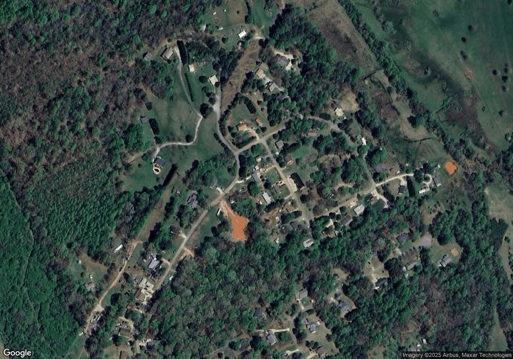
Map
Nearby Homes
- 2894 Chase Rd
- 4444 State Highway 365
- 0 Furniture Dr Unit 7545752
- 0 Furniture Dr Unit 10484163
- 221 Mcallister Rd
- 2778 J Warren Rd
- 280 Lawrence St
- 110 Bridgeport Dr
- 1576 Chase Rd
- 159 Hardyville Cir
- 189 Legacy Dr
- 107 Brasstown Ln
- 16.8AC Camp Creek Rd
- 820 Camp Creek Rd
- 198 Hickory Ave
- 101 Long St
- 180 Springbrook Dr
- 161 Springbrook Dr
- 1600 Old Athens Hw
- 133 Hillandale St
- 501 Camp Creek Cir
- 463 Camp Creek Cir
- 457 Camp Creek Cir
- 427 Camp Creek Cir
- 490 Camp Creek Cir
- 450 Camp Creek Cir
- 450 Camp Creek Cir Unit AG
- 415 Locke Rd
- 125 Camp Creek Cir
- 467 Camp Creek Cir
- 196 Camp Creek Cir
- 280 Camp Creek Cir
- 403 Locke Rd
- 401 Camp Creek Cir
- 355 Camp Creek Cir
- 163 Camp Creek Cir
- 353 Camp Creek Cir
- 241 Camp Creek Cir
- 503 Locke Rd
- 339 Camp Creek Cir