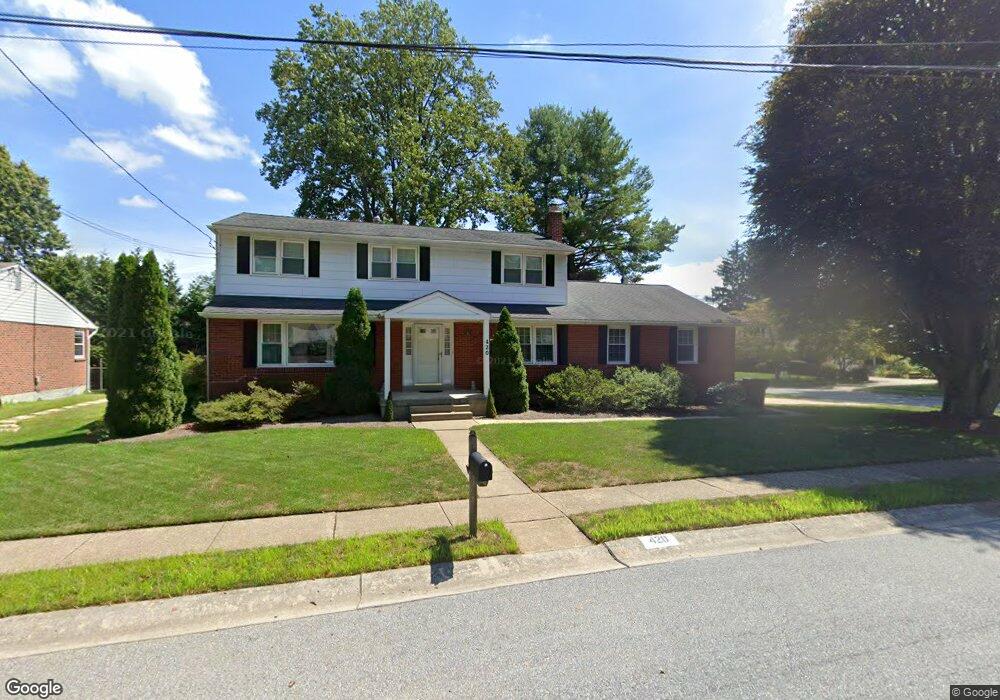
420 Locust Dr Newark, DE 19711
Estimated Value: $489,517 - $566,000
4
Beds
3
Baths
2,340
Sq Ft
$222/Sq Ft
Est. Value
About This Home
This home is located at 420 Locust Dr, Newark, DE 19711 and is currently estimated at $520,629, approximately $222 per square foot. 420 Locust Dr is a home located in New Castle County with nearby schools including Downes (John R.) Elementary School, Shue-Medill Middle School, and Newark High School.
Ownership History
Date
Name
Owned For
Owner Type
Purchase Details
Closed on
Apr 6, 2009
Sold by
Rhodes Mary E and Kirschner Mary E
Bought by
Rhodes James B and Rhodes Mary E
Current Estimated Value
Home Financials for this Owner
Home Financials are based on the most recent Mortgage that was taken out on this home.
Original Mortgage
$226,000
Outstanding Balance
$142,868
Interest Rate
4.94%
Mortgage Type
New Conventional
Estimated Equity
$377,761
Purchase Details
Closed on
Jul 15, 2004
Sold by
Macgregor Adele B
Bought by
Kirschner Mary E
Home Financials for this Owner
Home Financials are based on the most recent Mortgage that was taken out on this home.
Original Mortgage
$228,800
Interest Rate
6.28%
Mortgage Type
Purchase Money Mortgage
Create a Home Valuation Report for This Property
The Home Valuation Report is an in-depth analysis detailing your home's value as well as a comparison with similar homes in the area
Home Values in the Area
Average Home Value in this Area
Purchase History
| Date | Buyer | Sale Price | Title Company |
|---|---|---|---|
| Rhodes James B | -- | None Available | |
| Kirschner Mary E | $289,900 | -- |
Source: Public Records
Mortgage History
| Date | Status | Borrower | Loan Amount |
|---|---|---|---|
| Open | Rhodes James B | $226,000 | |
| Closed | Kirschner Mary E | $228,800 | |
| Closed | Kirschner Mary E | $42,900 |
Source: Public Records
Tax History Compared to Growth
Tax History
| Year | Tax Paid | Tax Assessment Tax Assessment Total Assessment is a certain percentage of the fair market value that is determined by local assessors to be the total taxable value of land and additions on the property. | Land | Improvement |
|---|---|---|---|---|
| 2024 | $994 | $94,200 | $18,000 | $76,200 |
| 2023 | $3,406 | $94,200 | $18,000 | $76,200 |
| 2022 | $3,370 | $94,200 | $18,000 | $76,200 |
| 2021 | $3,284 | $94,200 | $18,000 | $76,200 |
| 2020 | $3,189 | $94,200 | $18,000 | $76,200 |
| 2019 | $2,796 | $94,200 | $18,000 | $76,200 |
| 2018 | $2,731 | $94,200 | $18,000 | $76,200 |
| 2017 | $2,650 | $94,200 | $18,000 | $76,200 |
| 2016 | $2,642 | $94,200 | $18,000 | $76,200 |
| 2015 | $2,369 | $94,200 | $18,000 | $76,200 |
| 2014 | $2,368 | $94,200 | $18,000 | $76,200 |
Source: Public Records
Map
Nearby Homes
- 506 Cambridge Dr
- 311 Stamford Dr
- 41 Fremont Rd
- 25 Brentwood Ln
- 914 Quail Ln
- 47 Covered Bridge Ln
- 65 Jackson Hall School Rd
- 322 Wallace Dr
- 106 Leahy Dr
- 104 Leahy Dr
- 102 Leahy Dr
- 100 Leahy Dr
- 03a Leahy Dr
- 34 Ethan Allen Ct
- 01a Leahy Dr
- 137 Madison Dr
- 181 Madison Dr
- 406 Leahy Dr
- 405 Leahy Dr
- 04a Leahy Dr