Estimated Value: $146,000 - $195,000
3
Beds
1
Bath
1,030
Sq Ft
$159/Sq Ft
Est. Value
About This Home
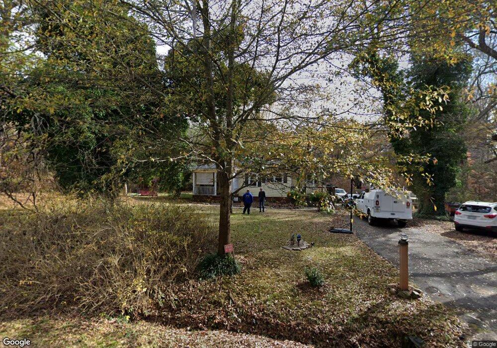
This home is located at 420 McElrath Rd, Greer, SC 29651 and is currently estimated at $163,663, approximately $158 per square foot. 420 McElrath Rd is a home located in Spartanburg County with nearby schools including Woodland Elementary School, Greer Middle School, and Greer High School.
Ownership History
Date
Name
Owned For
Owner Type
Purchase Details
Closed on
Jun 16, 2005
Sold by
Fannie Mae
Bought by
Brock Michael W and Brock Connie L
Current Estimated Value
Home Financials for this Owner
Home Financials are based on the most recent Mortgage that was taken out on this home.
Original Mortgage
$60,000
Outstanding Balance
$31,122
Interest Rate
5.66%
Mortgage Type
New Conventional
Estimated Equity
$132,541
Purchase Details
Closed on
Feb 10, 2005
Sold by
Foster Johnny W
Bought by
Federal National Mortgage Association
Create a Home Valuation Report for This Property
The Home Valuation Report is an in-depth analysis detailing your home's value as well as a comparison with similar homes in the area
Home Values in the Area
Average Home Value in this Area
Purchase History
| Date | Buyer | Sale Price | Title Company |
|---|---|---|---|
| Brock Michael W | $54,000 | -- | |
| Federal National Mortgage Association | $74,720 | -- |
Source: Public Records
Mortgage History
| Date | Status | Borrower | Loan Amount |
|---|---|---|---|
| Open | Brock Michael W | $60,000 |
Source: Public Records
Tax History Compared to Growth
Tax History
| Year | Tax Paid | Tax Assessment Tax Assessment Total Assessment is a certain percentage of the fair market value that is determined by local assessors to be the total taxable value of land and additions on the property. | Land | Improvement |
|---|---|---|---|---|
| 2025 | $1,281 | $3,726 | $963 | $2,763 |
| 2024 | $1,281 | $3,726 | $963 | $2,763 |
| 2023 | $1,281 | $3,726 | $963 | $2,763 |
| 2022 | $1,101 | $3,239 | $795 | $2,444 |
| 2021 | $1,087 | $3,239 | $795 | $2,444 |
| 2020 | $1,102 | $3,239 | $795 | $2,444 |
| 2019 | $1,102 | $3,239 | $795 | $2,444 |
| 2018 | $1,082 | $3,239 | $795 | $2,444 |
| 2017 | $935 | $2,817 | $750 | $2,067 |
| 2016 | $916 | $2,817 | $750 | $2,067 |
| 2015 | $911 | $2,817 | $750 | $2,067 |
| 2014 | $899 | $2,817 | $750 | $2,067 |
Source: Public Records
Map
Nearby Homes
- 123 Spruce Ave
- 00 New Woodruff Rd
- 907 Yarn Way
- 663 Millwright Way
- 916 Yarn Way
- 822 Thread Way
- 200 Mcdaniel Ave
- 847 Harvey Rd
- 11 25th St
- 96 Wilson St
- 849 Harvey Rd
- 107 Aster Dr
- 315 Eagle Mill Ln
- 451 Sunnyside Dr
- 306 Poplar Dr
- 136 Park Ave
- 132 Park Ave
- 107 Johnson Ave Unit LOT 18
- 110 Holly Creek Dr
- 200 Broadus St
- 148 Maple Dr
- 101 Timberlane Rd
- 142 Maple Dr
- 144 Maple Dr
- 401 McElrath Rd
- 103 Timberlane Rd
- 100 Timberlane Rd
- 102 Timberlane Rd
- 143 Maple Dr
- 201 Timberlane Rd
- 141 Maple Dr
- 323 McElrath Rd
- 210 Cosmic Ct
- 206 Cosmic Ct
- 216 Cosmic Ct
- 138 Maple Dr
- 138 Maple Dr Unit B
- 138 Maple Dr Unit A
- 138 Maple Dr
- 204 Cosmic Ct