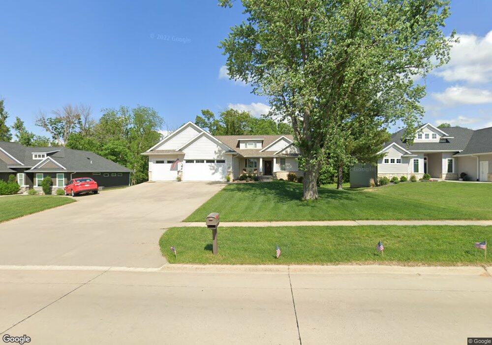
420 N Mentzer Rd Robins, IA 52328
Estimated Value: $414,000 - $612,000
3
Beds
--
Bath
2,037
Sq Ft
$242/Sq Ft
Est. Value
About This Home
This home is located at 420 N Mentzer Rd, Robins, IA 52328 and is currently estimated at $493,179, approximately $242 per square foot. 420 N Mentzer Rd is a home with nearby schools including Nixon Elementary School, Harding Middle School, and John F. Kennedy High School.
Ownership History
Date
Name
Owned For
Owner Type
Purchase Details
Closed on
Nov 27, 2019
Sold by
Ramler Fred A and Ramler Marcia R
Bought by
Dix Raymond K and Dix Paula A
Current Estimated Value
Home Financials for this Owner
Home Financials are based on the most recent Mortgage that was taken out on this home.
Original Mortgage
$355,000
Outstanding Balance
$313,899
Interest Rate
3.75%
Mortgage Type
New Conventional
Estimated Equity
$179,280
Purchase Details
Closed on
Jan 29, 2016
Sold by
Us Bank National Association
Bought by
Ramler Fred A
Create a Home Valuation Report for This Property
The Home Valuation Report is an in-depth analysis detailing your home's value as well as a comparison with similar homes in the area
Home Values in the Area
Average Home Value in this Area
Purchase History
| Date | Buyer | Sale Price | Title Company |
|---|---|---|---|
| Dix Raymond K | $415,000 | None Available | |
| Ramler Fred A | $81,180 | None Avilable |
Source: Public Records
Mortgage History
| Date | Status | Borrower | Loan Amount |
|---|---|---|---|
| Open | Dix Raymond K | $355,000 |
Source: Public Records
Tax History Compared to Growth
Tax History
| Year | Tax Paid | Tax Assessment Tax Assessment Total Assessment is a certain percentage of the fair market value that is determined by local assessors to be the total taxable value of land and additions on the property. | Land | Improvement |
|---|---|---|---|---|
| 2025 | $5,696 | $490,200 | $20,300 | $469,900 |
| 2024 | $5,078 | $432,500 | $20,300 | $412,200 |
| 2023 | $5,078 | $432,500 | $20,300 | $412,200 |
| 2022 | $5,406 | $342,100 | $20,300 | $321,800 |
| 2021 | $5,798 | $342,100 | $20,300 | $321,800 |
| 2020 | $5,798 | $277,100 | $20,300 | $256,800 |
| 2019 | $4,396 | $264,400 | $20,300 | $244,100 |
| 2018 | $4,322 | $264,400 | $20,300 | $244,100 |
| 2017 | $0 | $169,800 | $20,300 | $149,500 |
| 2016 | $0 | $0 | $0 | $0 |
| 2015 | -- | $0 | $0 | $0 |
Source: Public Records
Map
Nearby Homes
- 1275 E Knoll Dr
- 0 Maple St
- 70.78 Acres M L Quass Rd
- 3000 Trailside Dr
- 525 Chestnut Dr
- 325 Landau St
- 745 Eastview Dr
- 199 Shelly Dr
- 495 Woodview Ave
- Lot 10 Kervin Ct
- Lot 9 Kervin Ct
- Lot 45 Village Way
- Lot 44 Village Way
- 545 Evergreen Ln
- 9124 Grand Oaks Dr NE
- 210 Brougham Rd
- 8926 Norway Dr NE
- 8908 Norway Dr NE
- 320 Shannon Dr
- 8809 Middlebury Ct NE
- 410 N Mentzer Rd
- 780 Kervin Ct
- 404 N Mentzer Rd
- 400 N Mentzer Rd
- 760 Kervin Ct
- 425 N Mentzer Rd
- 785 Kervin Ct
- 785 Northhaven Dr
- 740 Kervin Ct
- 765 Kervin Ct
- 380 N Mentzer Rd
- 395 N Mentzer Rd
- 720 Kervin Ct
- 745 Kervin Ct
- 375 Charlotte Ave
- 790 Northhaven Dr
- 725 Kervin Ct
- 355 N Mentzer Rd
- 700 Kervin Ct
- 645 Kervin Ct