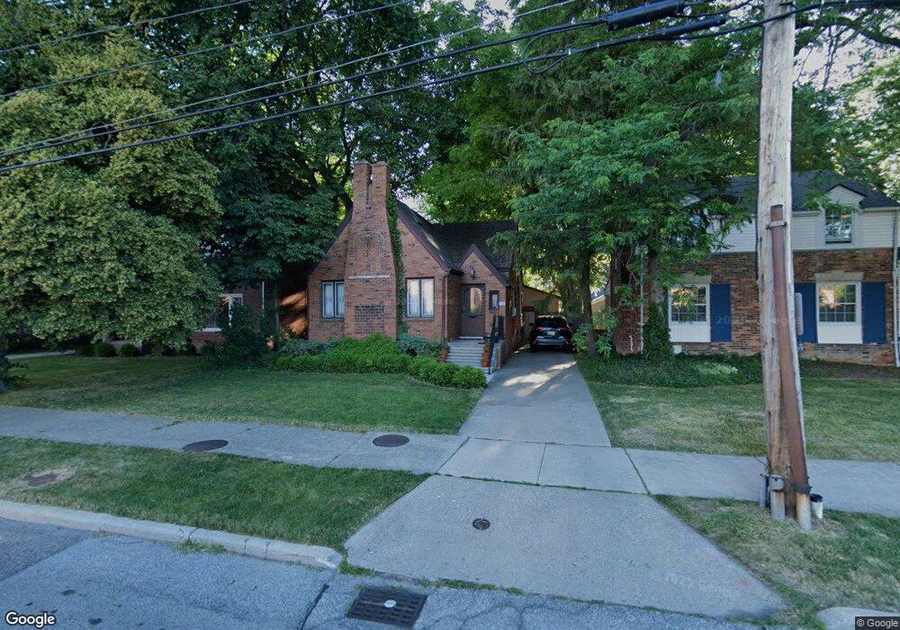
420 Notre Dame St Grosse Pointe, MI 48230
Estimated Value: $307,000 - $400,000
--
Bed
--
Bath
1,218
Sq Ft
$278/Sq Ft
Est. Value
About This Home
This home is located at 420 Notre Dame St, Grosse Pointe, MI 48230 and is currently estimated at $338,283, approximately $277 per square foot. 420 Notre Dame St is a home located in Wayne County with nearby schools including Lewis Maire Elementary School, Pierce Middle School, and Grosse Pointe South High School.
Ownership History
Date
Name
Owned For
Owner Type
Purchase Details
Closed on
Feb 28, 2018
Sold by
Ramsdell John Harley
Bought by
Ramsdell Christopher
Current Estimated Value
Create a Home Valuation Report for This Property
The Home Valuation Report is an in-depth analysis detailing your home's value as well as a comparison with similar homes in the area
Home Values in the Area
Average Home Value in this Area
Purchase History
| Date | Buyer | Sale Price | Title Company |
|---|---|---|---|
| Ramsdell Christopher | $170,000 | None Available |
Source: Public Records
Tax History Compared to Growth
Tax History
| Year | Tax Paid | Tax Assessment Tax Assessment Total Assessment is a certain percentage of the fair market value that is determined by local assessors to be the total taxable value of land and additions on the property. | Land | Improvement |
|---|---|---|---|---|
| 2025 | $3,827 | $152,600 | $0 | $0 |
| 2024 | $3,827 | $141,000 | $0 | $0 |
| 2023 | $3,650 | $130,600 | $0 | $0 |
| 2022 | $4,623 | $129,900 | $0 | $0 |
| 2021 | $4,047 | $121,000 | $0 | $0 |
| 2019 | $4,204 | $93,000 | $0 | $0 |
| 2018 | $2,560 | $80,800 | $0 | $0 |
| 2017 | $2,702 | $79,900 | $0 | $0 |
| 2016 | $3,853 | $87,800 | $0 | $0 |
| 2015 | $7,306 | $87,200 | $0 | $0 |
| 2013 | $7,078 | $73,200 | $0 | $0 |
| 2012 | -- | $70,500 | $0 | $0 |
Source: Public Records
Map
Nearby Homes
- 386 Notre Dame St
- 16935 Maumee Ave
- 320 Neff Rd
- 43 Cranford Ln
- 379 Lakeland St
- 25 Village Ln
- 497 Neff Rd
- 616 Cadieux Rd
- 1036 Yorkshire Rd
- 296 Rivard Blvd
- 425 Rivard Blvd
- 1117 Bishop Rd
- 4 Cameron Place
- 17680 E Jefferson Ave
- 277 Lincoln Rd
- 459 Washington Rd
- 355 Lincoln Rd
- 29 Fisher Rd
- 11 Dodge Place
- 674 Neff Rd
- 436 Notre Dame St
- 414 Notre Dame St
- 415 Saint Clair St
- 408 Notre Dame St
- 409 Saint Clair St
- 448 Notre Dame St
- 429 Saint Clair St
- 402 Notre Dame St
- 419 Saint Clair St
- 398 Notre Dame St
- 423 Saint Clair St
- 450 Notre Dame St
- 409 Notre Dame St Unit DAME
- 409 Notre Dame St
- 394 Notre Dame St
- 407 Notre Dame St Unit DAME
- 407 Notre Dame St
- 405 Notre Dame St
- 439 Saint Clair St
- 439 St Clair St