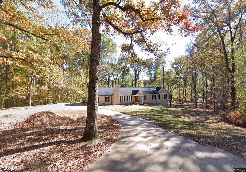
420 Pitts Rd Hixson, TN 37343
Falling Water NeighborhoodEstimated Value: $506,000 - $639,677
4
Beds
3
Baths
2,800
Sq Ft
$207/Sq Ft
Est. Value
About This Home
This home is located at 420 Pitts Rd, Hixson, TN 37343 and is currently estimated at $578,669, approximately $206 per square foot. 420 Pitts Rd is a home located in Hamilton County with nearby schools including Ganns Middle Valley Elementary School, Red Bank Middle School, and Red Bank High School.
Ownership History
Date
Name
Owned For
Owner Type
Purchase Details
Closed on
Nov 15, 2000
Sold by
Mills Charlie L and Mills Carolyn P
Bought by
Mcpherson Nicholas M and Mcpherson Donna F
Current Estimated Value
Home Financials for this Owner
Home Financials are based on the most recent Mortgage that was taken out on this home.
Original Mortgage
$132,000
Interest Rate
7.83%
Purchase Details
Closed on
Apr 11, 1995
Sold by
Mills Charlie L
Bought by
Mills Charlie L
Create a Home Valuation Report for This Property
The Home Valuation Report is an in-depth analysis detailing your home's value as well as a comparison with similar homes in the area
Home Values in the Area
Average Home Value in this Area
Purchase History
| Date | Buyer | Sale Price | Title Company |
|---|---|---|---|
| Mcpherson Nicholas M | $165,000 | -- | |
| Mills Charlie L | -- | -- |
Source: Public Records
Mortgage History
| Date | Status | Borrower | Loan Amount |
|---|---|---|---|
| Closed | Mcpherson Nicholas M | $132,000 |
Source: Public Records
Tax History Compared to Growth
Tax History
| Year | Tax Paid | Tax Assessment Tax Assessment Total Assessment is a certain percentage of the fair market value that is determined by local assessors to be the total taxable value of land and additions on the property. | Land | Improvement |
|---|---|---|---|---|
| 2024 | $1,654 | $73,950 | $0 | $0 |
| 2023 | $1,663 | $73,950 | $0 | $0 |
| 2022 | $1,663 | $73,950 | $0 | $0 |
| 2021 | $1,663 | $73,950 | $0 | $0 |
| 2020 | $1,760 | $63,325 | $0 | $0 |
| 2019 | $1,760 | $63,325 | $0 | $0 |
| 2018 | $1,760 | $63,325 | $0 | $0 |
| 2017 | $1,760 | $63,325 | $0 | $0 |
| 2016 | $1,422 | $0 | $0 | $0 |
| 2015 | $1,422 | $51,100 | $0 | $0 |
| 2014 | $1,422 | $0 | $0 | $0 |
Source: Public Records
Map
Nearby Homes
- 598 Blue Canyon Ln
- 5940 Sunset Canyon Dr
- 595 Deer Valley Dr
- 805 Pickett Gulf Rd
- 733 Ray Ln
- 311 Roberts Mill Rd
- 792 Sawmill Trail
- 311 Branch Dr
- 0 Dayton Blvd Unit RTC2802699
- 0 Dayton Blvd Unit 1508885
- 6016&6014 Browntown Rd
- 5977 Crestview Dr
- 855 Split Rock Trail
- 0 Rocky Ledge Rd Unit 1514267
- 101 La Porte Dr
- 434 Stoneridge Dr
- 421 Golden Oaks Dr
- 1000 Sawyer Cemetery Rd
- 308 Cricket Ln
- 463 Candytuft Ln
- 422 Pitts Rd
- 419 Pitts Rd
- 416 Pitts Rd
- 537 Narrow Canyon Ln
- 427 Pitts Rd
- 477 Pitts Rd
- 6478 Deep Canyon Rd
- 625 Pitts Rd
- 324 Pitts Rd
- 328 Pitts Rd
- 536 Narrow Canyon Ln
- 450 Pitts Rd
- 523 Narrow Canyon Ln
- 320 Pitts Rd
- 6464 Deep Canyon Rd
- 410 Pitts Rd
- 6456 Deep Canyon Rd
- 6532 Deep Canyon Rd
- 3 Pitts Rd
- 2 Pitts Rd